- On trail 8.0 mi 12.9 km
- Walking time 3–4 h
- Ascent 320 m 1,050 ft
- Descent 220 m 700 ft
- Difficulty Moderate
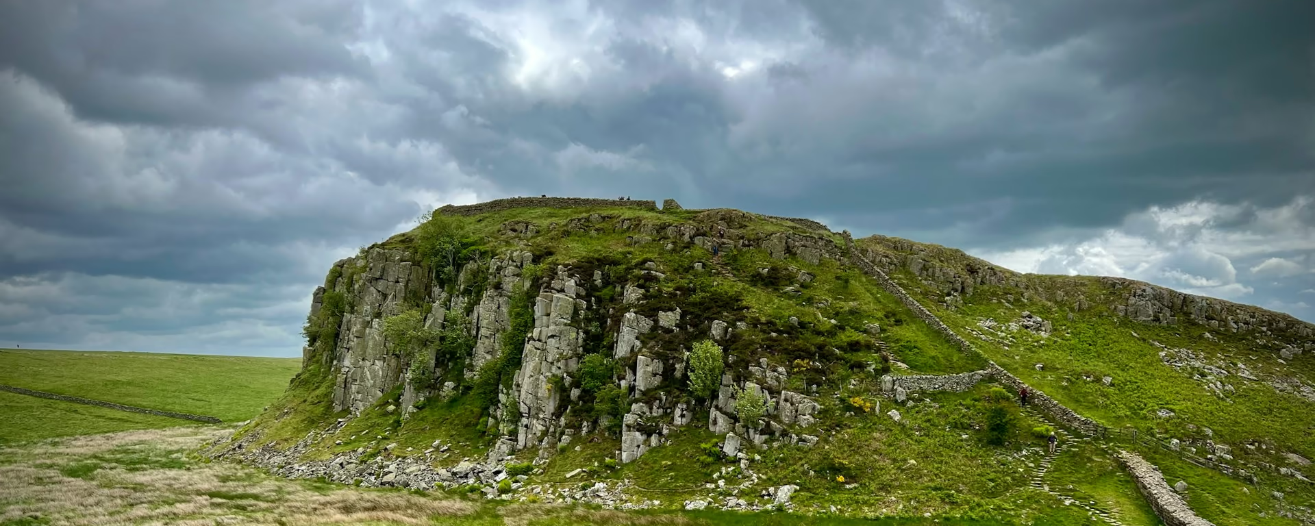
Newark Park, Lower Kilcott, and the Somerset Monument.
Section 12: Wotton-under-Edge to Hawkesbury Upton map
Cross-check: National Trails route description . Opened 22 October 2026. The distance at the top of this page is measured on the imported line. The route page's miles, and the climb it prints for the section, stay in the answers below.
The walk
A stream leads out of Wotton, then the path climbs back to the edge and passes Newark Park. The way down to Alderley is a sunken woodland track. The valley after the village still shows medieval ridge-and-furrow, and at Lower Kilcott a millstream runs beside the quiet road. The climb from there is gentle, up to the Somerset Monument, and Hawkesbury Upton is the village after it. On the 9-day that village is lunch. On the 4-day and the 5-day it is the night.
-
Start of section
Wotton-under-Edge
-
Newark Park
The house on the climb back to the edge, after the stream out of Wotton. The sunken track down to Alderley comes after it.
-
Lower Kilcott
A millstream beside the quiet road, with medieval ridge-and-furrow still visible in the valley before it. The monument is the climb after the hamlet.
-
Somerset Monument
The tower above Hawkesbury Upton. The village under it is lunch on the 9-day, and the night on the 4-day and the 5-day.
-
End of section
Hawkesbury Upton
Section 12: Wotton-under-Edge to Hawkesbury Upton overview
The ground
- Park
- Valley
- Monument
A stream, a sunken track, then a gentle climb to the monument. The Tyndale Monument is the steep climb before Wotton. After Hawkesbury Upton the view opens from Horton Fort over the Severn Vale.
Stops
Refreshments
- Eat in Wotton before you leave. Hawkesbury Upton is a village at the end
- not a town
Toilets
- The route page does not name a public toilet on this section
Before you go
Opposite direction
Hawkesbury Upton to Wotton-under-Edge
The Somerset Monument is the first climb, out of Hawkesbury Upton. You then drop to the millstream at Lower Kilcott. The sunken track leads up to Alderley, Newark Park is the last ground on the edge, and the stream brings you down into Wotton.
End of section
Wotton-under-Edge
Wotton-under-Edge to Hawkesbury Upton FAQ
How long is Wotton-under-Edge to Hawkesbury Upton?
The route page lists 7.4 miles (11.9 km), with 984 feet (300 m) of ascent and 623 feet (190 m) of descent. The distance at the top of this page is measured between these ends.
Is the Wortley diversion still there?
The diversion page says it would run until the end of September 2026, after drought and high winds. That date has passed. The trail information page, opened 22 October 2026, still lists a temporary diversion at Wortley. Follow the signs on the day.
Can I download a GPX for Wotton-under-Edge to Hawkesbury Upton?
Yes. Use the GPX button at the top of this page. It is this section's line, for Garmin, Komoot, or your phone. Open the planner if you want a file built around your overnight stops.
Walk this as a day
Starts Day 7 on the 9-day. Open the planner on that preset, then export a full-trip or per-day GPX.
Open in planner Read the 9-day itinerary
Full-trip and per-day GPX files. Free, no account.
Explore