- On trail 6.0 mi 9.6 km
- Walking time 2–3 h
- Ascent 140 m 450 ft
- Descent 190 m 600 ft
- Difficulty Moderate
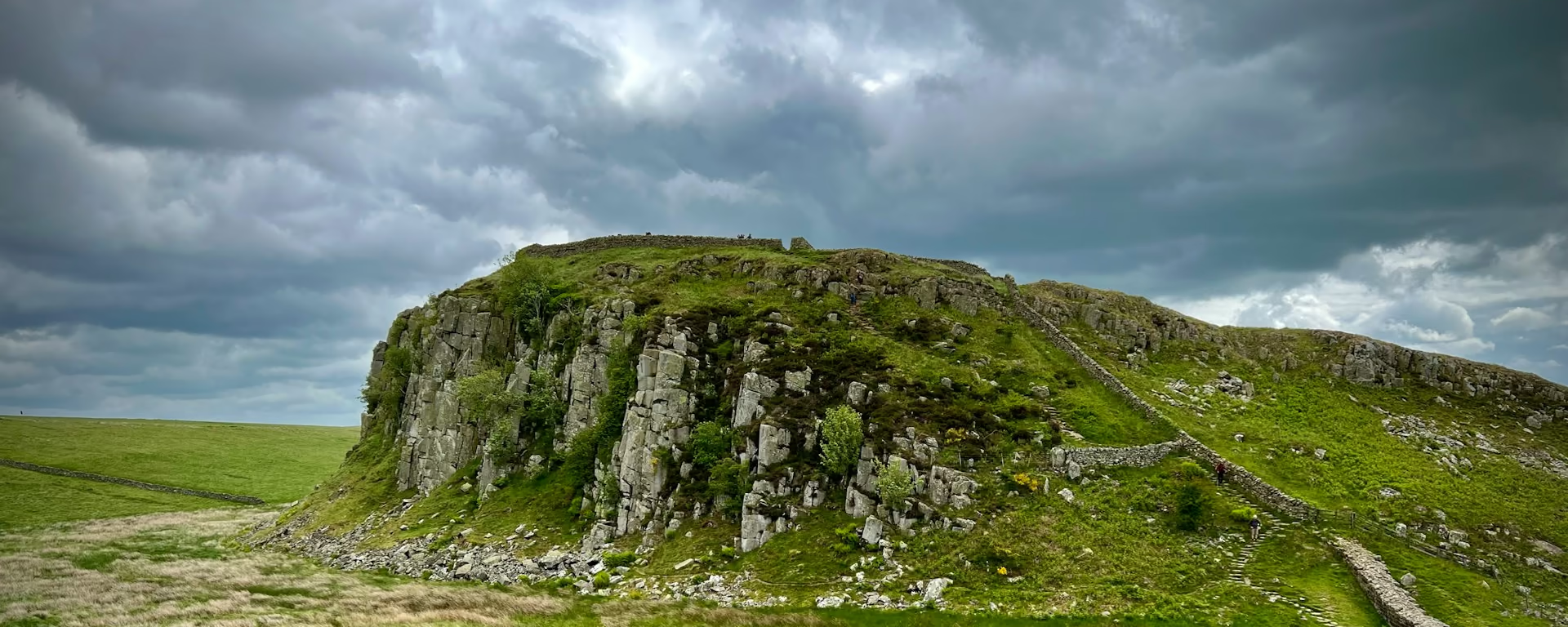
Crickley Hill, Barrow Wake, and the woods into Birdlip.
Section 7: Leckhampton Hill to Birdlip map
Cross-check: National Trails route description . Opened 22 October 2026. The distance at the top of this page is measured on the imported line. The route page's miles, and the climb it prints for the section, stay in the answers below.
The walk
After the Devil's Chimney the path follows quiet tracks and lanes into Crickley Hill Country Park. The park has the viewpoints, and finds from a long run of occupation. Barrow Wake is the undulating grassland after that, and woodland brings you out at Birdlip. A diversion near the village has been signed since July 2026. Follow it. Birdlip has little choice of bed, and it is a night on every plan except the 4-day.
-
Start of section
Leckhampton Hill
-
Crickley Hill
A country park on the way off Leckhampton Hill. The viewpoints are the reason to pause, and the ground has a long history of occupation.
-
Barrow Wake
Undulating grassland after the park, before the woods. It is the open stretch of this section.
-
Book it
Birdlip
The village at the end of the woods. Little choice of bed. The longer plans stop here. The 4-day walks through, and a diversion has been signed nearby since July 2026.
-
End of section
Birdlip
Section 7: Leckhampton Hill to Birdlip overview
The ground
- Country park
- Grassland
- Woodland
Tracks and lanes, a country park, then grassland and wood into the village. The climb onto Leckhampton Hill is the section before this. Painswick, the mid-point, is the one after, through the beech woods and Cooper's Hill.
Stops
Refreshments
- Birdlip at the end. Little choice in the village
- so eat before you rely on it
Toilets
- The route page does not name a public toilet on this section
Before you go
Opposite direction
Birdlip to Leckhampton Hill
The diversion at Birdlip is the start. Woodland, then Barrow Wake, then Crickley Hill. The tracks and lanes bring you up to Leckhampton Hill and the Devil's Chimney.
End of section
Leckhampton Hill
Leckhampton Hill to Birdlip FAQ
How long is Leckhampton Hill to Birdlip?
The route page lists 5.6 miles (9 km), with about 425 feet (130 m) of ascent and the same of descent. The distance at the top of this page is measured between these ends.
Is the Birdlip diversion still there?
It has been signed since July 2026, for at least six months. Follow the signs on the ground. The page that named it was opened on 22 October 2026, so check again if you are walking later.
Can I download a GPX for Leckhampton Hill to Birdlip?
Yes. Use the GPX button at the top of this page. It is this section's line, for Garmin, Komoot, or your phone. Open the planner if you want a file built around your overnight stops.
Walk this as a day
Ends Day 3 on the 9-day. Open the planner on that preset, then export a full-trip or per-day GPX.
Open in planner Read the 9-day itinerary
Full-trip and per-day GPX files. Free, no account.
Explore