- On trail 3.3 mi 5.4 km
- Walking time 1–2 h
- Ascent 70 m 250 ft
- Descent 190 m 600 ft
- Difficulty Moderate
Cleeve Common over Cheltenham, then the woods down to the reservoir.
Section 5: Cleeve Hill to Dowdeswell map
Cross-check: National Trails route description . Opened 22 October 2026. The distance at the top of this page is measured on the imported line. The route page's miles, and the climb it prints for the section, stay in the answers below.
The walk
South of the hill is the highest part of the Way. The path crosses Cleeve Common, with the view over Cheltenham, then Bill Smylie's butterfly reserve and quiet lanes. Dowdeswell Wood brings you down to the reservoir. The route page names it as one of the few places the native white-clawed crayfish is still found. Dowdeswell has no bed. The plans sleep on Cleeve Hill, or walk through toward Birdlip.
-
Start of section
Cleeve Hill
-
Cleeve Common
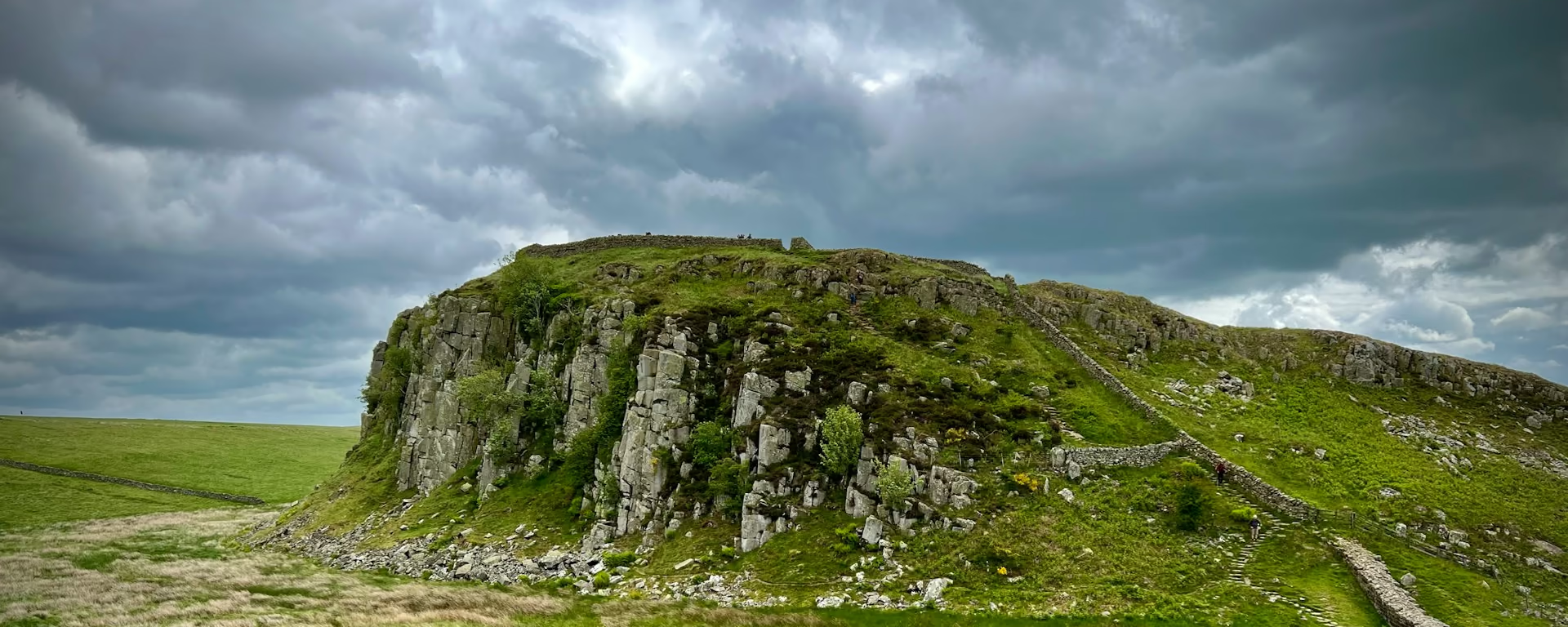
The highest part of the Way, south of the hill itself. The view is Cheltenham and the land beyond. It is open, and the phone can drop out.
-
The butterfly reserve
Bill Smylie's reserve sits before the quiet lanes. It is a short named place on the common, not a village.
-
No bed
Dowdeswell reservoir
The wood drops to the water. The route page mentions the white-clawed crayfish. There is no night here. Birdlip is still ahead, past the Devil's Chimney.
-
End of section
Dowdeswell
Section 5: Cleeve Hill to Dowdeswell overview
The ground
- Common
- Views
- Woodland
High common, then a wooded descent. Less climbing than the section before it. Winchcombe to Cleeve Hill is the steep climb. This one stays high and then drops. The Devil's Chimney is on the next section, after Seven Springs.
Stops
Refreshments
- Nothing named at the reservoir. Eat before you leave Cleeve Hill
Toilets
- The route page does not name a public toilet on this section
Before you go
Opposite direction
Dowdeswell to Cleeve Hill
You leave the reservoir and climb through Dowdeswell Wood onto the common. The view over Cheltenham opens as you come up, and Cleeve Hill is the high ground at the end.
End of section
Cleeve Hill
Cleeve Hill to Dowdeswell FAQ
How long is Cleeve Hill to Dowdeswell?
The route page lists 5.5 miles (8.9 km) from the golf club house to the reservoir, with 325 feet (99 m) of ascent and 604 feet of descent. The distance at the top of this page starts from the Cleeve Hill place the nights use, further along the common, so it is shorter than that listing.
Can I stay at Dowdeswell?
No. The route ends at the reservoir, and there is no bed on these plans. Sleep on Cleeve Hill, or walk on to Birdlip. Do not leave the path for Cheltenham. That taxi is a holiday variant, not this walk.
Can I download a GPX for Cleeve Hill to Dowdeswell?
Yes. Use the GPX button at the top of this page. It is this section's line, for Garmin, Komoot, or your phone. Open the planner if you want a file built around your overnight stops.
Walk this as a day
Starts Day 3 on the 9-day. Open the planner on that preset, then export a full-trip or per-day GPX.
Open in planner Read the 9-day itinerary
Full-trip and per-day GPX files. Free, no account.
Explore