Trail Britain

Britain's iconic long-distance walks

Expert guides and day-by-day itineraries for Britain's great walks — use ours or plan your own, GPX included.


Browse trails

Status
Coast to Coast Path — trail home
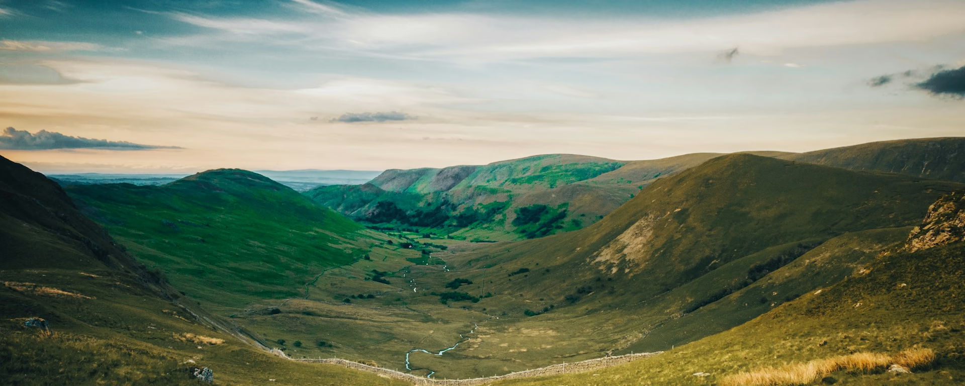
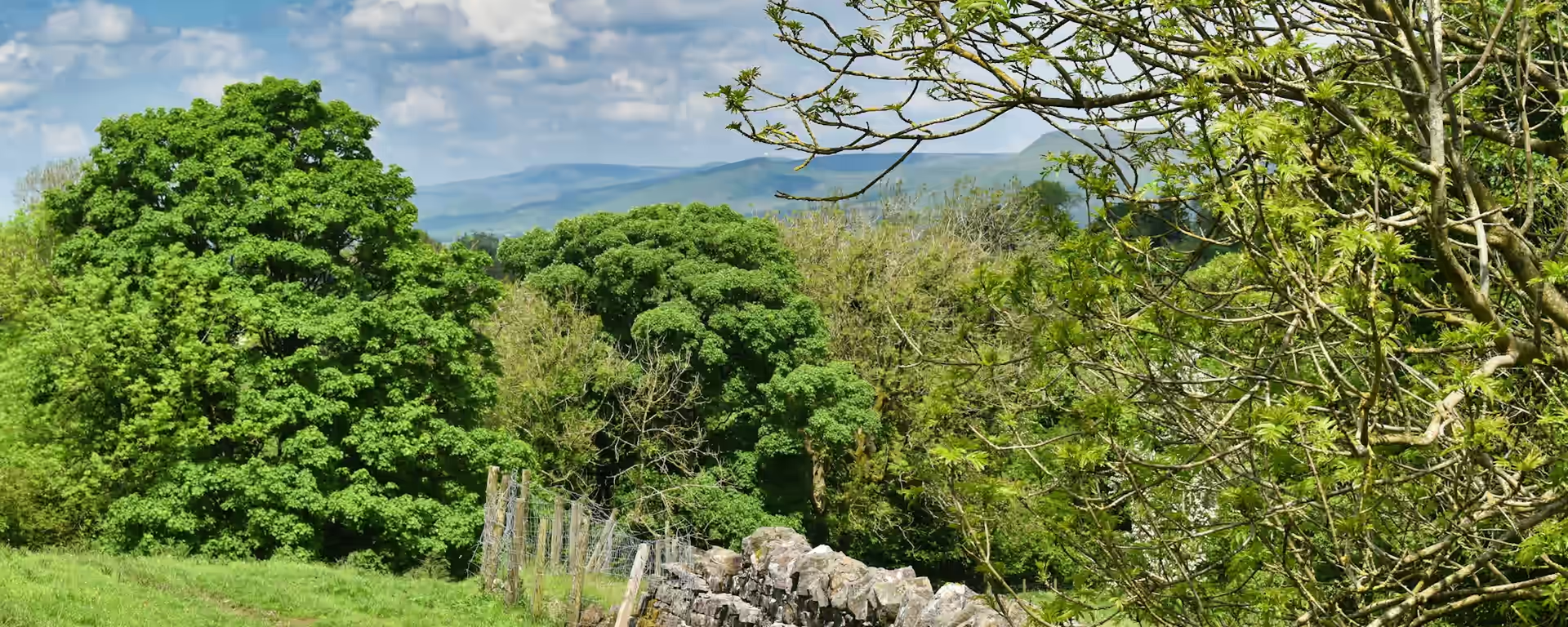
Green valley with a stream and stone wall in the hills under a pale sky

England

Coast to Coast Path

England

Coast to Coast Path

188.9 mi (304 km) 10–18 days Hard

Wainwright's walk across England: Irish Sea to North Sea through the Lake District, the Yorkshire Dales and the North York Moors.

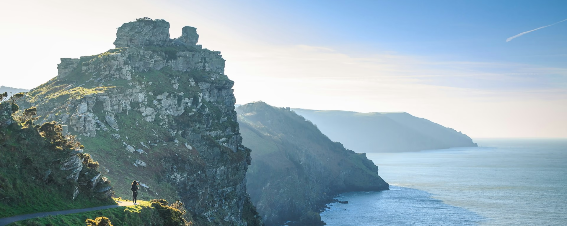
Coast path on a grassy clifftop, with a walker looking out over sea stacks and the sea

England

South West Coast Path

England

South West Coast Path

648.0 mi (1042.9 km) 45–60 days TBC

Minehead to Poole Harbour around Exmoor, Cornwall, Devon cliffs, and Dorset's Jurassic Coast. England's longest national trail.

Guide and planner coming soon.

Pennine Way — trail home
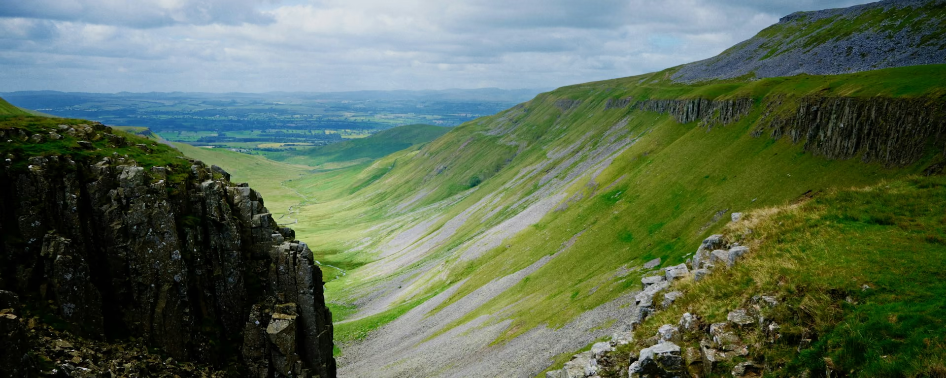
Steep limestone gorge dropping to a green valley under cloud

England

Pennine Way

England

Pennine Way

256.6 mi (413 km) 13–21 days Hard

Edale to Kirk Yetholm along England's Pennine spine through three national parks, Hadrian's Wall, and the Cheviot Hills.

Hadrian's Wall Path — trail home
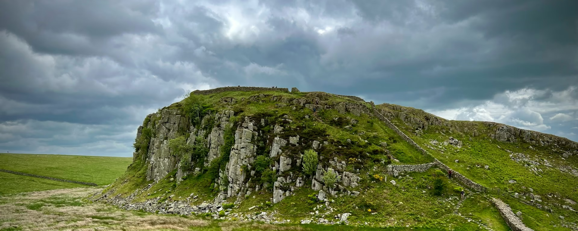
Paved path and stone wall climbing a crag under heavy cloud

England

Hadrian's Wall Path

England

Hadrian's Wall Path

83.9 mi (135 km) 5–10 days Moderate

Wallsend to Bowness-on-Solway coast to coast, following Hadrian's Wall past Roman forts, the Whin Sill, and Solway marshes.

South Downs Way — trail home
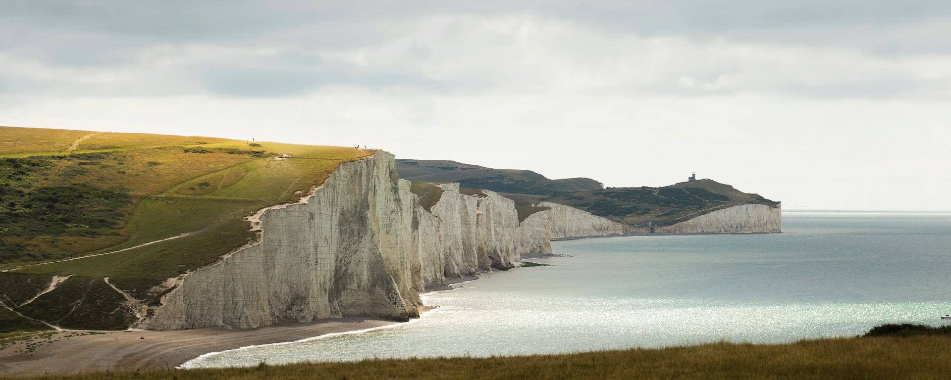
White chalk cliffs and sea seen from a grassy hill under cloud

England

South Downs Way

England

South Downs Way

100.7 mi (162 km) 5–10 days Moderate

Winchester to Eastbourne along a chalk ridge, past Butser Hill and Devil's Dyke, to the white cliffs of the Seven Sisters.

Offa's Dyke Path — trail home
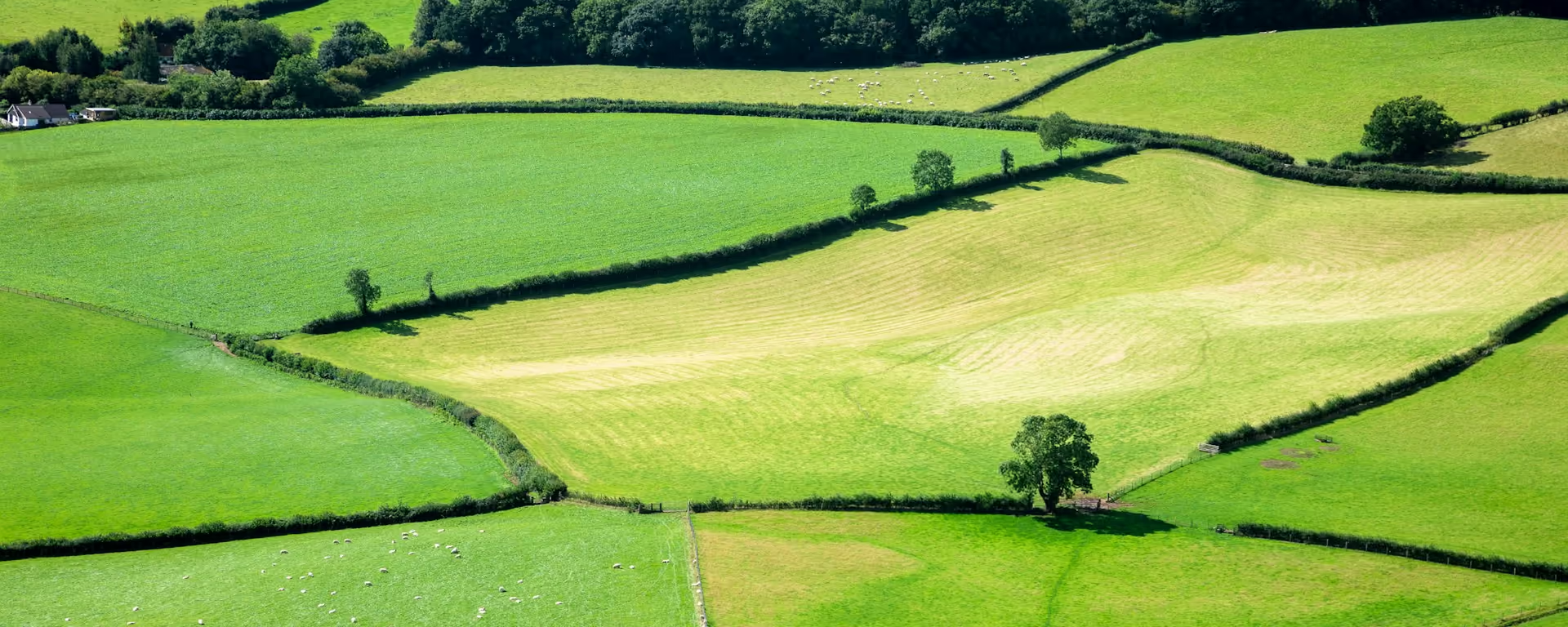
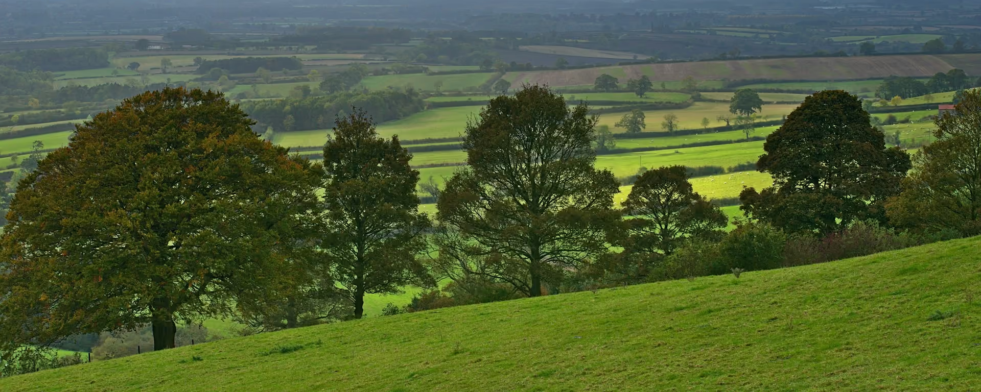
Hedged green fields and a lone tree, with sheep in the pasture

England and Wales

Offa's Dyke Path

England and Wales

Offa's Dyke Path

178.3 mi (287 km) 11–16 days Hard

The Black Mountains, the Shropshire Hills and the Clwydian Range, walked beside a 1,200-year-old earthwork on the border of England and Wales.

Great Glen Way — trail home
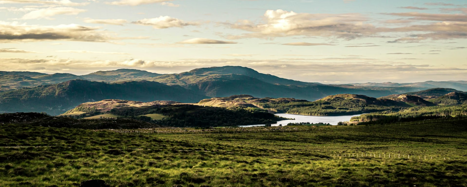
Highland loch and hills seen across a grassy foreground under broken cloud

Scotland

Great Glen Way

Scotland

Great Glen Way

74.6 mi (120 km) 3–6 days Moderate

From the foot of Ben Nevis to Inverness Castle along Scotland's greatest geological fault, by the Caledonian Canal, Loch Oich and Loch Ness.

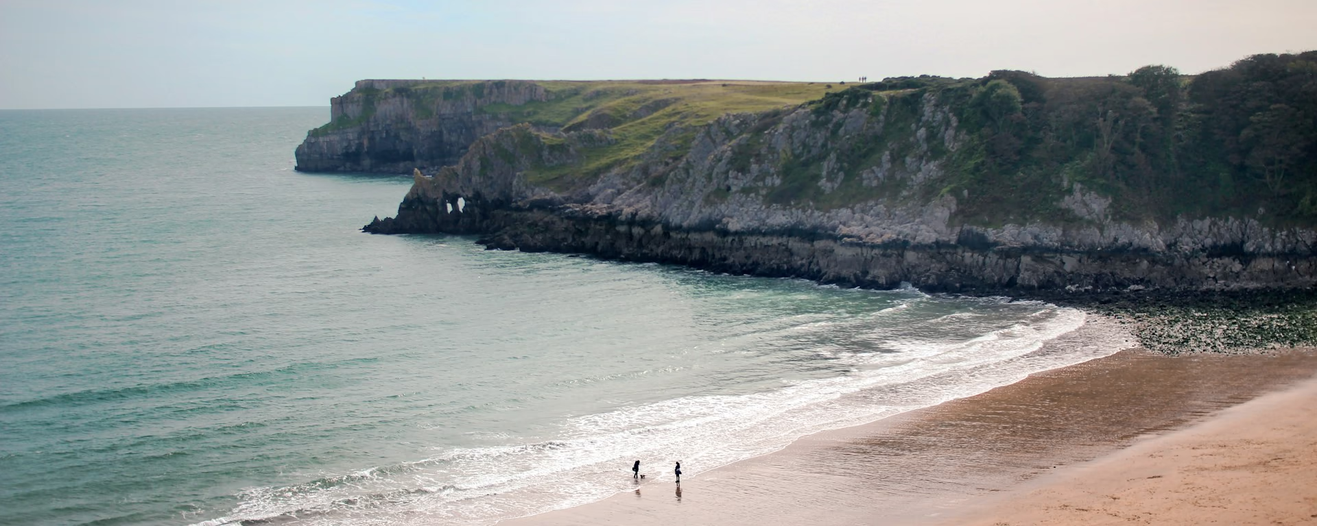
Two walkers on a sandy beach below grassy cliffs and a headland

Wales

Pembrokeshire Coast Path

Wales

Pembrokeshire Coast Path

176.7 mi (284.4 km) 11–15 days TBC

Amroth to St Dogmaels around Pembrokeshire cliff tops, sandy coves, and seabird stacks in one of Britain's finest coastal walks.

Guide and planner coming soon.

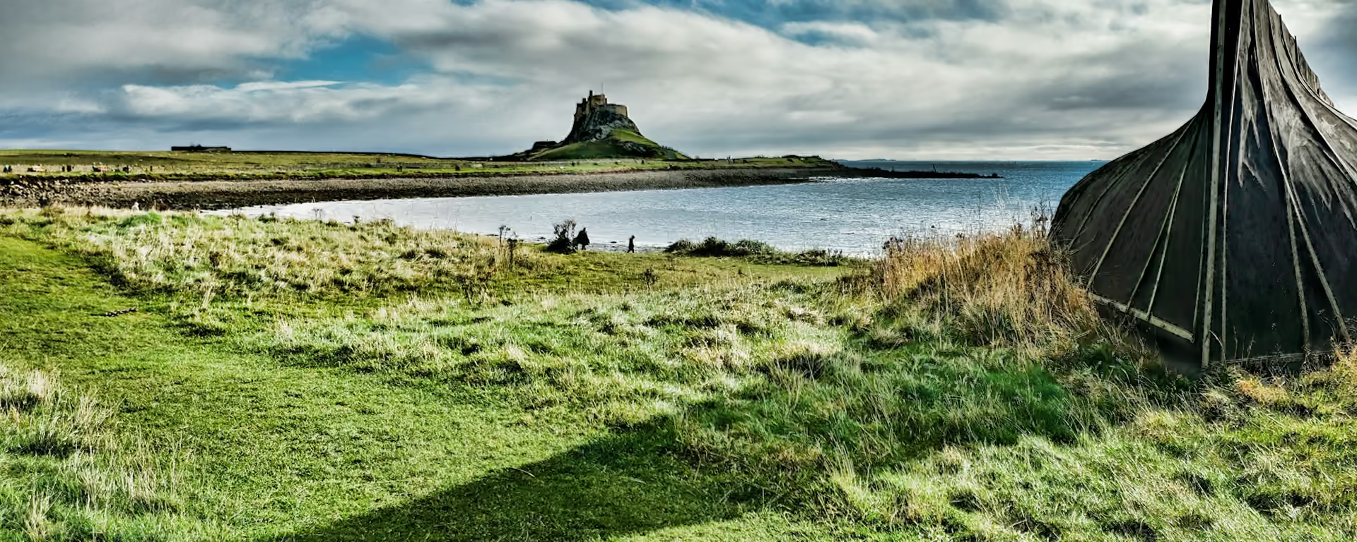
Lindisfarne Castle across a bay, from a grassy shore with an upturned boat

Scotland · England

St Cuthbert's Way

Scotland · England

St Cuthbert's Way

64.3 mi (103.5 km) 4–6 days TBC

Melrose to Holy Island across Scottish Borders hills, Roman Dere Street, and a tidal causeway finish to Lindisfarne.

Guide and planner coming soon.

Cumbria Way — trail home
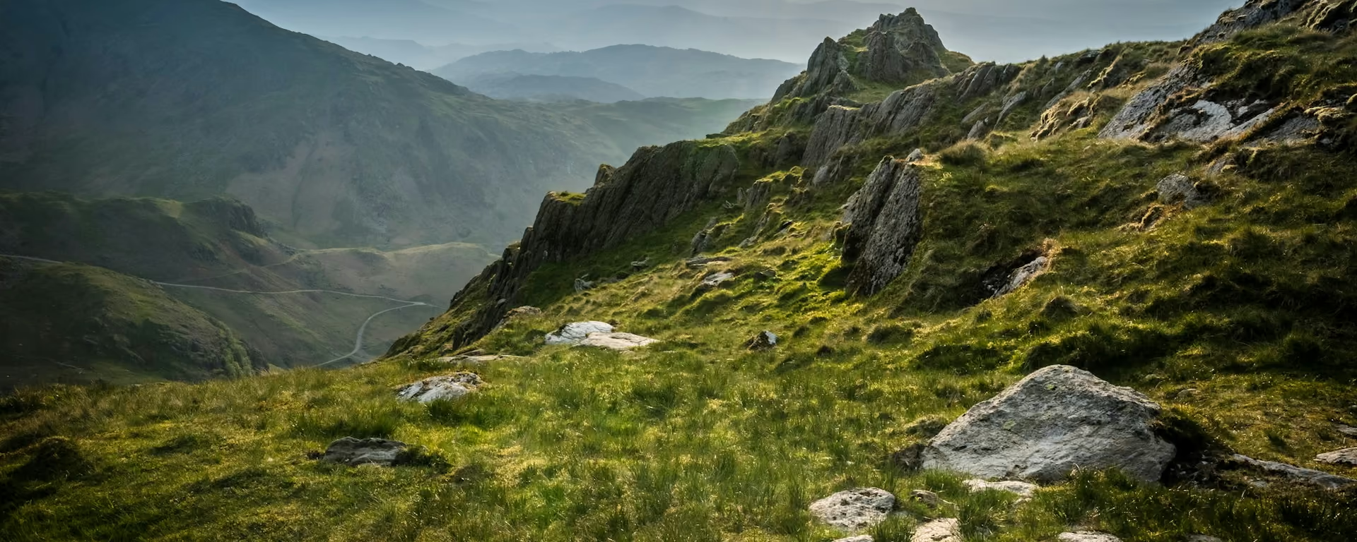
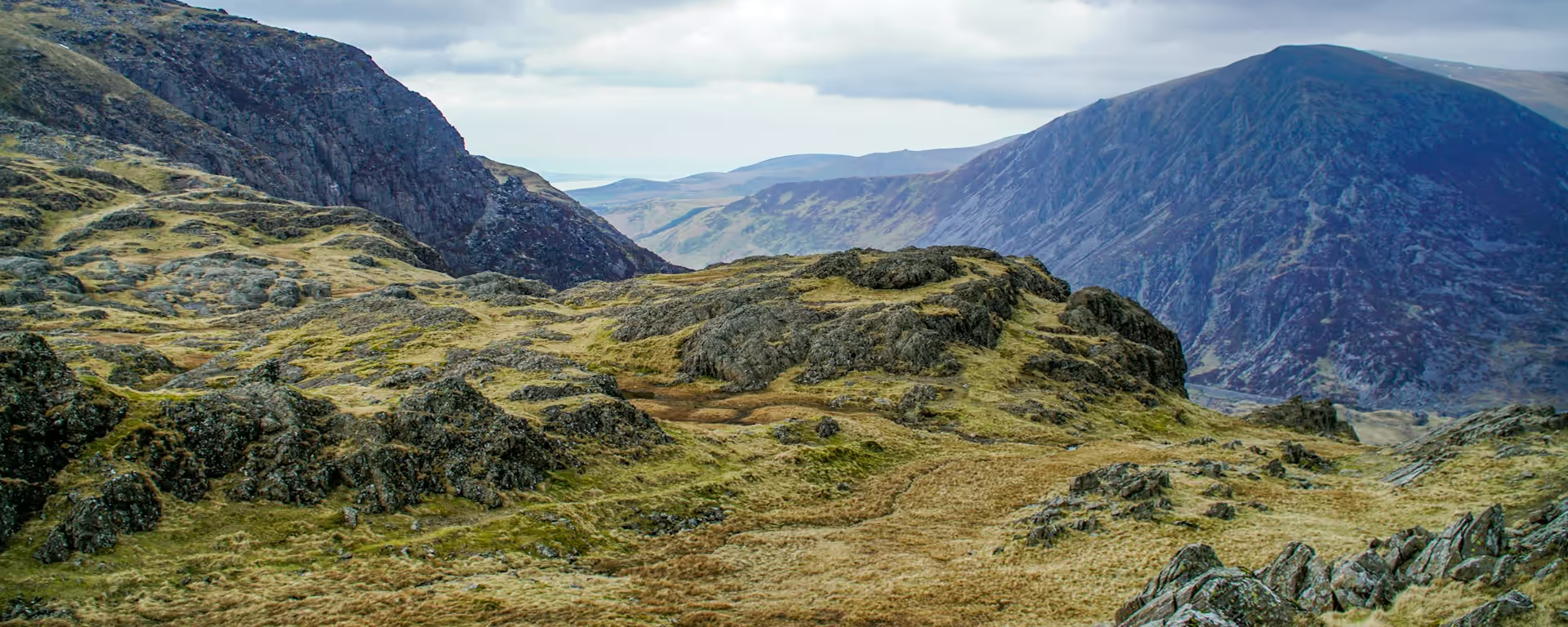
Rocky Lakeland ridge and grassy slope looking over layered hills

England

Cumbria Way

England

Cumbria Way

73.9 mi (119 km) 5–8 days Moderate

"All that is best in the Lake District": Coniston Water, the Stake Pass into Borrowdale and High Pike, then down the Caldew to Carlisle.

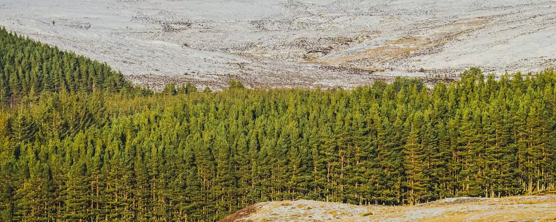
Band of pine forest below a pale hillside, with tawny moor in the foreground

Scotland

East Highland Way

Scotland

East Highland Way

83.9 mi (135.1 km) 5–8 days TBC

Fort William to Aviemore via Loch Laggan, Ruthven Barracks, and Rothiemurchus pinewoods. A quieter link between Highland routes.

Guide and planner coming soon.

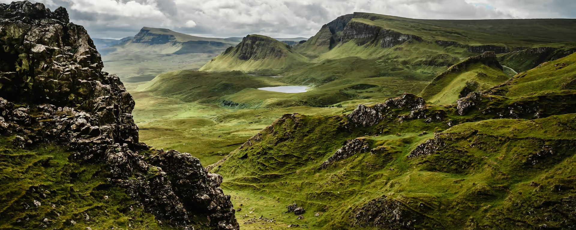
Rocky ridge looking over green table-top hills and a loch under cloud

Scotland

Isle of Skye Trail

Scotland

Isle of Skye Trail

80.8 mi (130.0 km) 6–7 days TBC

Rubha Hunish to Broadford across the Quiraing, Trotternish Ridge, and Cuillin views. Unofficial, unwaymarked, and demanding.

Guide and planner coming soon.

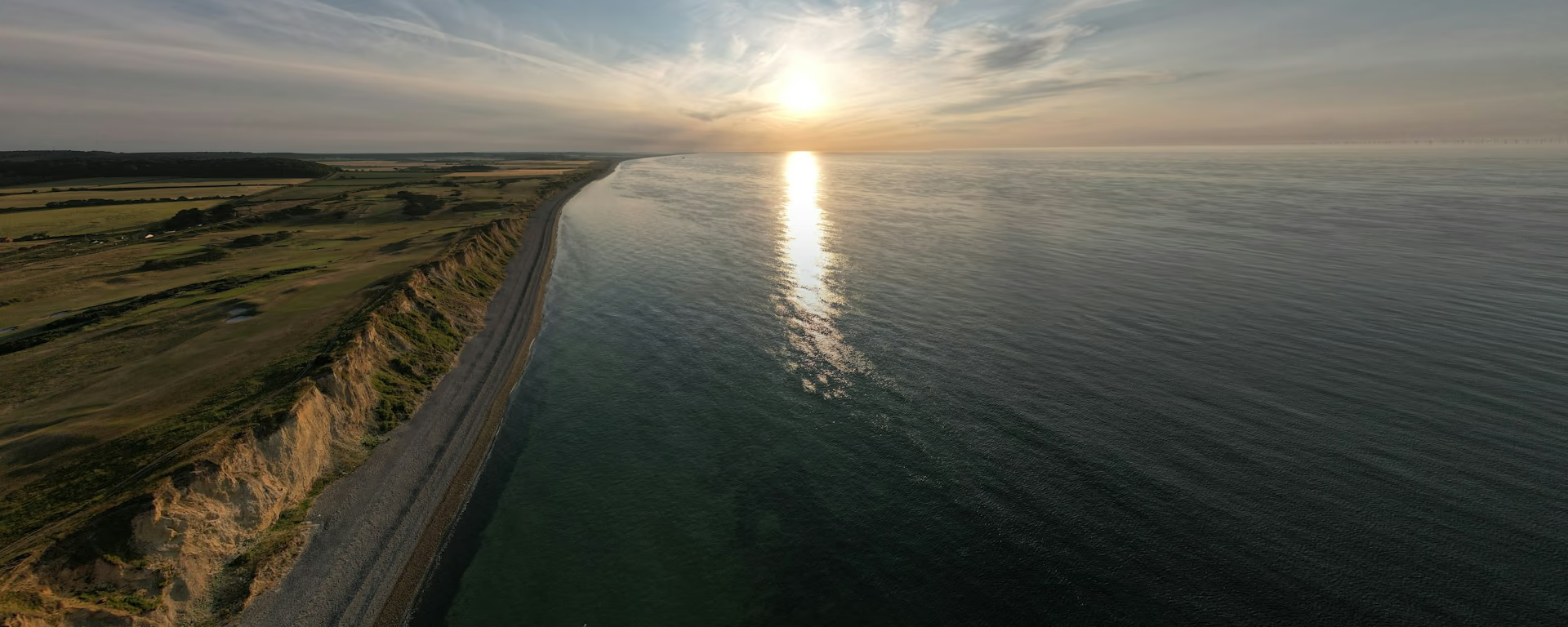
Sandy cliff and pebble beach running into a low sun over a calm sea

England

Norfolk Coast Path

England

Norfolk Coast Path

45.4 mi (73.1 km) 5–7 days TBC

Hunstanton to Hopton-on-Sea along Norfolk salt marshes, sandy beaches, and bird reserves on a flat, big-sky coastal walk.

Guide and planner coming soon.

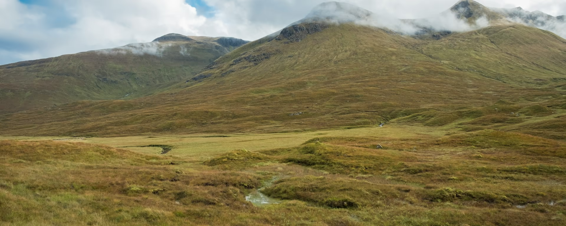
Tawny glen and a burn looking up to cloud-wrapped peaks

Scotland

Affric Kintail Way

Scotland

Affric Kintail Way

46.7 mi (75.1 km) 3–5 days TBC

Drumnadrochit to Morvich through Glen Affric ancient pinewoods and Kintail peaks on Scotland's signposted Highland crossing.

Guide and planner coming soon.

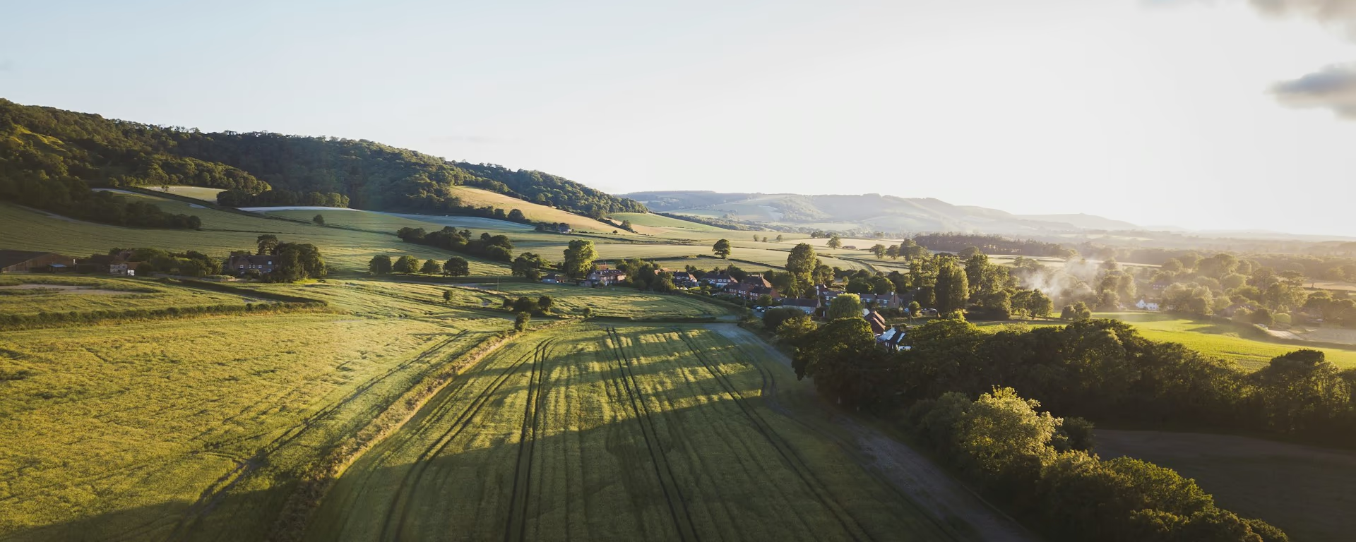
Sunlit fields and a village tucked under a wooded ridge

England

Serpent Trail

England

Serpent Trail

62.7 mi (101.0 km) 4–6 days TBC

Haslemere to Petersfield through Sussex and Hampshire heathland, purple heather, and winding greensand ridges.

Guide and planner coming soon.

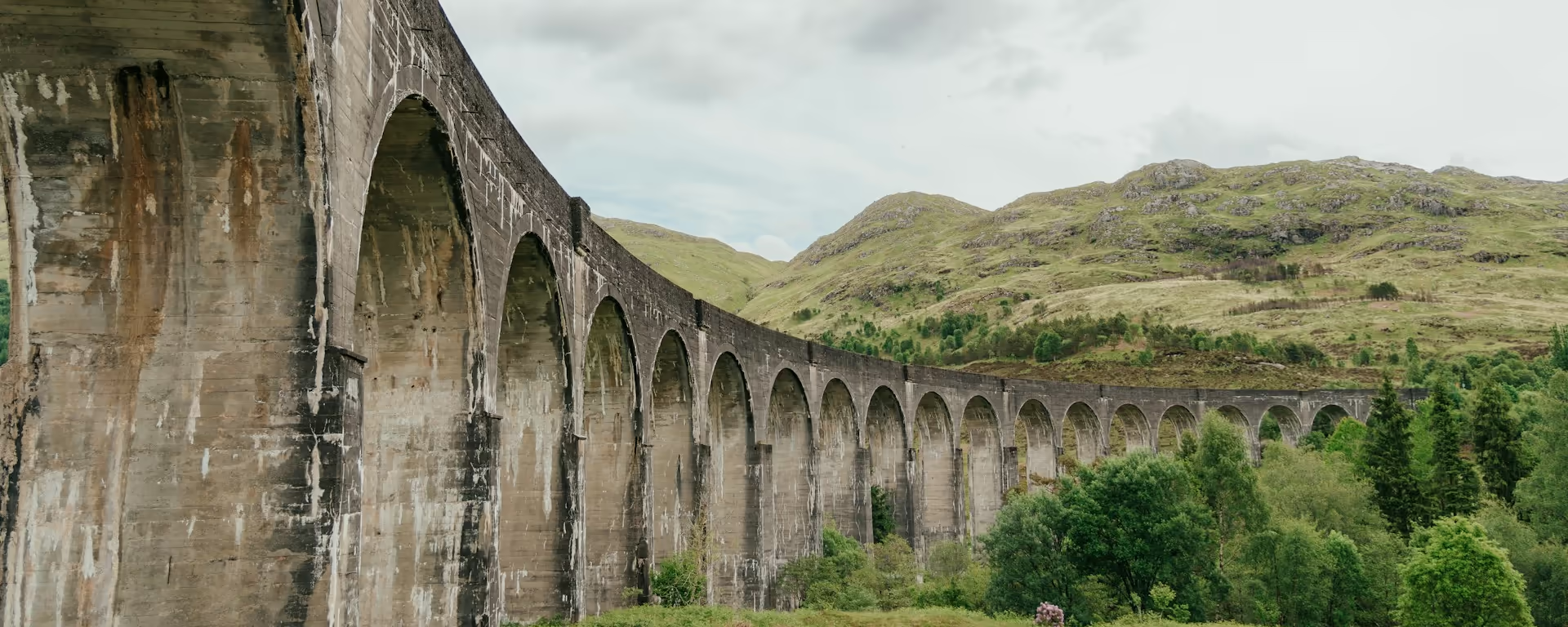
Stone railway viaduct curving past a green hillside and trees

Scotland

Cape Wrath Trail

Scotland

Cape Wrath Trail

235.2 mi (378.4 km) 14–20 days TBC

Fort William to Cape Wrath through roadless Knoydart, Torridon, and Sandwood Bay. Britain's toughest unmarked long route.

Guide and planner coming soon.

Plan your long-distance walk

Pick a trail, choose your pace, adjust overnight stops on the map, then export GPX files built around your route.

Open the planner