- Distance 101.9 mi 164 km
- Duration 4–9 days
- Ascent 3,680 m 12,050 ft
- Descent 3,800 m 12,450 ft
- Difficulty Moderate
What is the Cotswold Way?
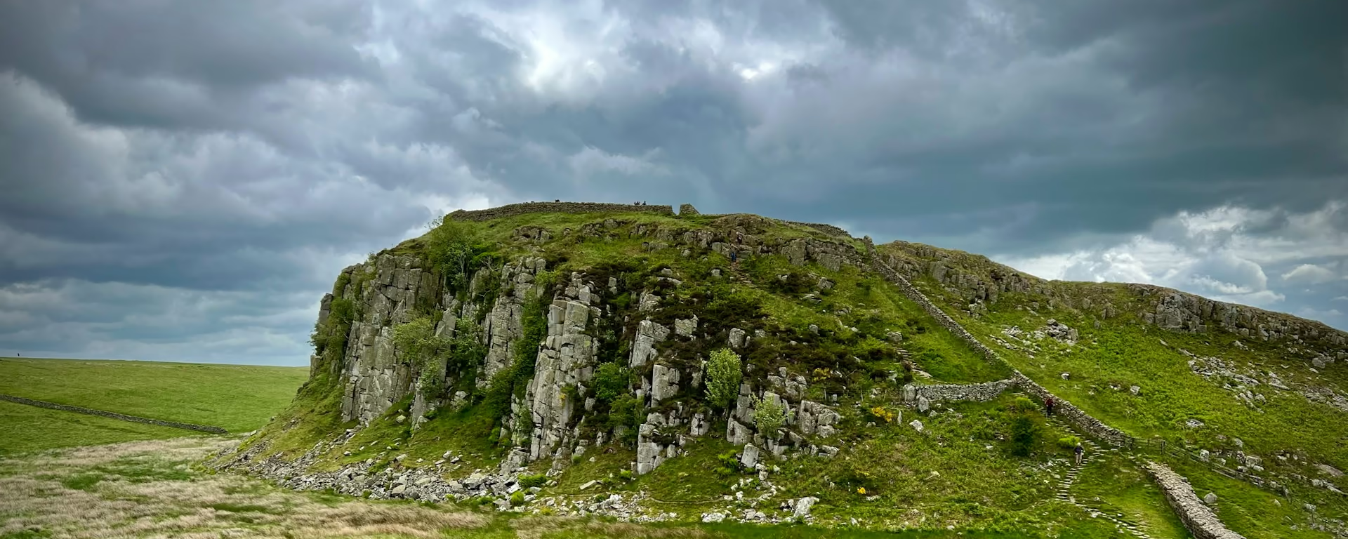
The path follows the western edge of the Cotswold Hills, through pastures, beech woods and honey-coloured villages. The view is west, toward the River Severn and the Malvern Hills. The Cotswold Way is 102 miles (164 km) from Chipping Campden to Bath.
Cleeve Hill is the highest point, at 330 m (1,080 ft). The Devil's Chimney stands on Leckhampton Hill, and Painswick is the mid-point. The finish is a carved stone disc outside the west doors of Bath Abbey.
Cotswold Way route map
The full Cotswold Way from Chipping Campden to Bath. Tap any day to open that itinerary in the planner and see overnight stops along the way. The panel below the map shows the elevation profile.
How hard is the Cotswold Way?
Anyone who is reasonably fit can walk it. The surprise is how often the path climbs. Steep pulls come between the villages, not once in the week.
The route is waymarked with the acorn. Carry a map or a guidebook anyway. A compass can help, and this is not a moor that needs one all day. Phone reception is patchy, so do not rely on the phone to navigate.
The official guidebook suggests seven to ten days. These plans are 4, 5, 7, 8 and 9 walking days, and 9 is the first full walk. Cleeve Hill, at 330 m (1,080 ft), sits in the middle of that week. The 4-day and the 5-day are fast.
The path is not stile-free, and it crosses fields with livestock. Keep a dog on a lead unless you are told otherwise. Food is thin on the last days, so leave the last village with water and something to eat.
Cotswold Way itineraries and official sections
Pick a day count and the 4–9 day splits show where you would sleep each night, or read the route as the official town-to-town sections.
When is the best time to walk the Cotswold Way?
- January, good
- February, good
- March, good
- April, best
- May, best
- June, good
- July, fair
- August, fair
- September, best
- October, best
- November, good
- December, good
Best months: April, May, September, and October
The trail is open all year. The trail body says there is not really a best time. April and May are the months it names for bluebells. September and October are the months for the beech woods and the autumn leaves.
June is still early summer. July and August are the busy months, so book the bed ahead. November through March stay open. The same pages point at crisp winter days for the views, with shorter daylight and a colder escarpment.
Bags run from about mid-March to the end of October. The rain-day chart is the Midlands record, not a forecast. Late autumn and winter have more wet days than late spring. Carry waterproofs in any month.
Rain days each month:
- January, 13 rain days
- February, 11 rain days
- March, 10 rain days
- April, 10 rain days
- May, 10 rain days
- June, 10 rain days
- July, 10 rain days
- August, 11 rain days
- September, 10 rain days
- October, 12 rain days
- November, 13 rain days
- December, 13 rain days
Driest: March, April, May, June, July, and September — still 10 rain days.
Midlands averages, 1991 to 2020. The Cotswold escarpment sits in this district, and the last miles into Bath are at the edge of it. This is the record, not a forecast.
How do I get there and back?
Moreton-in-Marsh is the nearest main-line station to Chipping Campden, the start of these plans. The closest airports are Birmingham and Bristol. Local buses link the towns along the trail. Times are on National Rail and Traveline, and a Sunday start needs a live check.
Bath has more transport for the finish than the start does. The Way ends at the stone disc outside the west doors of Bath Abbey. The official pages do not name the station. The roads they name are the M4, M5 and M40.
Frequently asked questions
The walk
How long does the Cotswold Way take?
Most people take seven to ten days. These plans are 4, 5, 7, 8 and 9 walking days, and 9 is the first full walk. Four and five are the fast walks. The official guidebook says to take longer if you want more time in the places.
Which direction should I walk?
Walk from Chipping Campden to Bath. That is how most people walk it, and how most guidebooks are written. The official FAQ says the views can be more striking that way, and that Bath is the easier finish by public transport. Both directions are signed, and these plans reverse. Toward Chipping Campden the valley climbs become descents. On the 4-day, the 5-day and the 8-day, the long day into Bath becomes the first day.
Can I wild camp on the Cotswold Way?
No. Wild camping is not legal here. Ask the landowner if you want to camp away from a site. Campsites are listed on the trail's own map.
Are there diversions on the route?
Check before you go. On 22 October 2026 the trail information page listed a diversion near Birdlip, one at Wortley, a permanent diversion at North Nibley, and an ongoing diversion at Tormarton. Follow the signs on the ground, and look at that page again if you walk later.
Getting set
Do I need to book accommodation in advance?
Yes. Book well in advance in peak season. Book Stanton, Birdlip and Cold Ashton first. Broadway is the fallback when Stanton is full. When Cold Ashton is full, take a taxi into Bath and back. The beginning of May is the Badminton Horse Trials, which fills King's Stanley, Old Sodbury and Cold Ashton.
Can I get my bag transferred?
Yes, once the bed is booked. A bag a day is usually £10–25, from about mid-March to the end of October. Have the bag ready by 9am. One service runs both ways. Another is southbound only, so a bag toward Chipping Campden is not a promise until you check. A long day, or a stay off the path, can change the price. You still carry water, waterproofs and a spare layer.
This site & app
Is this the official Cotswold Way website?
No. This site helps you plan days, stays and a GPX. For trail notices, diversions and official advice, use the Cotswold Way pages on National Trails. Cotswold Way on National Trails
Do I need an account?
No. A Cotswold Way plan opens without an account. Add an email only when you want an edit link on another phone. Downloading a GPX does not need email.
Can I download a GPX of the Cotswold Way?
Yes. Open a plan and export the whole trip, or one file per day, for your phone. Each section page also has a GPX of that stretch. The trail's own full file can contain more than one track, so check how your app reads it.
Plan your Cotswold Way
Choose your dates and pace, adjust overnight stops on the map, then export GPX files built around your route.
Explore