- On trail 10.3 mi 16.6 km
- Walking time 4–5 h
- Ascent 260 m 850 ft
- Descent 440 m 1,450 ft
- Difficulty Moderate
Lansdown, the racecourse, and the stone disc at Bath Abbey.
Section 15: Cold Ashton to Bath map
Example stay Cotswold Way Finish
Cross-check: National Trails route description . Opened 22 October 2026. The distance at the top of this page is measured on the imported line. The route page's miles, and the climb it prints for the section, stay in the answers below.
The walk
The path drops from Cold Ashton into the valley at Lower Hamswell, and the next climb is Lansdown, the site of a civil war battle. A circle of sculptures by David Michael Mores stands by the 6th green of the golf club. The plateau then passes the fort at Little Down and Bath Racecourse. Prospect Stile is now a kissing gate, and it is the first view of the city. After Weston the path turns urban, through parks and past the crescents, and the finish is the carved stone disc in the pavement outside the west doors of Bath Abbey.
-
Start of section
Cold Ashton
-
Lansdown
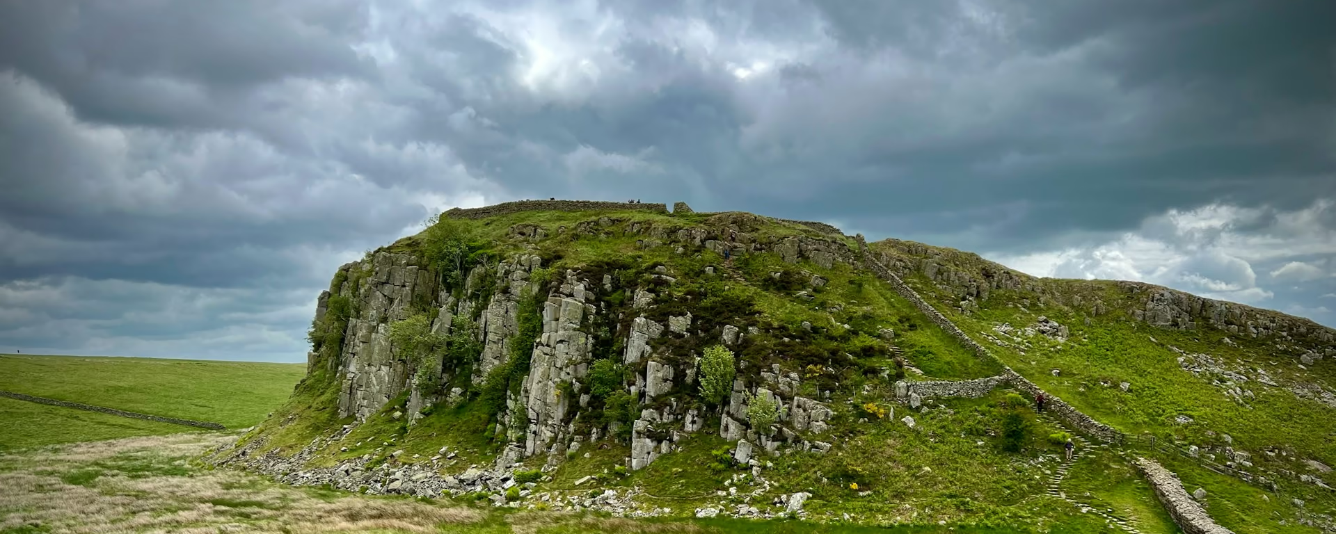
The civil war battle site, after the climb out of Lower Hamswell. The sculptures stand in a circle by the 6th green. The plateau after them is the racecourse and the fort at Little Down.
-
Prospect Stile
Now a kissing gate. It is the first view of Bath, in the valley below, before the path reaches Weston.
-
The finish
Bath Abbey
A carved stone disc in the pavement outside the west doors. The escarpment is behind you. This is the end of the Way.
-
Official finish
Bath
Section 15: Cold Ashton to Bath overview
The ground
- Battle site
- Racecourse
- City
A valley, a plateau, then streets. You descend further than you climb. Dyrham Woods are the climb before Cold Ashton. This section is the finish. The city replaces the escarpment.
Stops
Refreshments
- Carry food and water from Cold Ashton. Weston is the first of the city. Bath has the choice
- at the end
Toilets
- The route page does not name a public toilet on this section
Before you go
Opposite direction
Bath to Cold Ashton
You leave the stone disc at Bath Abbey and climb out through the city, so the streets are the start. Prospect Stile is the gate where the view of Bath falls behind you. The racecourse and the fort at Little Down are on the plateau. Lansdown comes before the drop into Lower Hamswell, and Cold Ashton is the climb at the end.
End of section
Cold Ashton
Cold Ashton to Bath FAQ
How long is Cold Ashton to Bath?
The route page lists 10.2 miles (16.5 km), with 738 feet (225 m) of ascent and 1,312 feet (400 m) of descent. The distance at the top of this page is measured between these ends.
Where does the Cotswold Way finish?
At the carved stone disc outside the west doors of Bath Abbey. The first view of the city is at Prospect Stile, now a kissing gate. Carry water from Cold Ashton. Food is thin until Weston.
Can I download a GPX for Cold Ashton to Bath?
Yes. Use the GPX button at the top of this page. It is this section's line, for Garmin, Komoot, or your phone. Open the planner if you want a file built around your overnight stops.
Walk this as a day
Used as Day 9 on the 9-day. Open the planner on that preset, then export a full-trip or per-day GPX.
Open in planner Read the 9-day itinerary
Full-trip and per-day GPX files. Free, no account.
Explore