- On trail 7.2 mi 11.6 km
- Walking time 3–4 h
- Ascent 190 m 600 ft
- Descent 210 m 700 ft
- Difficulty Moderate
Horton Fort, Old Sodbury, and the park at Dodington.
Section 13: Hawkesbury Upton to Tormarton map
Cross-check: National Trails route description . Opened 22 October 2026. The distance at the top of this page is measured on the imported line. The route page's miles, and the climb it prints for the section, stay in the answers below.
The walk
Past an old drover's pond, Bath Lane runs south toward Horton. Before Horton Court the path climbs onto Horton Fort, and the view opens over the Severn Vale. The route page calls Horton Court probably the oldest vicarage in England. Farmland then crosses Horton and Old Sodbury. The parkland at Dodington was laid out by Capability Brown, and the last fields bring you into Tormarton. Old Sodbury is the night on the 9-day. Tormarton is the night on the 7-day and the 8-day.
-
Start of section
Hawkesbury Upton
-
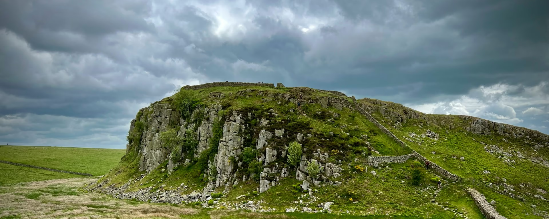
Horton Fort
The climb before Horton Court, with the view over the Severn Vale. The route page calls the court probably the oldest vicarage in England.
-
Dodington Park
Parkland laid out by Capability Brown, after Old Sodbury. The fields at the far side lead into Tormarton.
-
Book it
Tormarton
The night on the 7-day and the 8-day, with little choice of bed. On the 9-day you have already slept at Old Sodbury, and this village is a pass-through.
-
End of section
Tormarton
Section 13: Hawkesbury Upton to Tormarton overview
The ground
- Hill fort
- Village
- Parkland
A lane, a fort, then parkland. Less climbing than the monument before it. The Somerset Monument is the climb on the section before this. After Tormarton the wall of Dyrham Park leads toward Cold Ashton.
Stops
Refreshments
- Old Sodbury if you are stopping. Tormarton is a small village at the end. Eat before you rely on it
Toilets
- The route page does not name a public toilet on this section
Before you go
Opposite direction
Tormarton to Hawkesbury Upton
You leave Tormarton across the park at Dodington, so Old Sodbury is the middle. Horton Fort is the view before the drop, and Hawkesbury Upton, under the Somerset Monument, is the village at the end.
End of section
Hawkesbury Upton
Hawkesbury Upton to Tormarton FAQ
How long is Hawkesbury Upton to Tormarton?
The route page lists 7.7 miles (12.4 km), with 476 feet (145 m) of ascent and 590 feet (180 m) of descent. The distance at the top of this page is measured between these ends.
Where do I sleep on this section?
Old Sodbury on the 9-day, before Tormarton. Tormarton itself on the 7-day and the 8-day. Book that village. The 4-day and the 5-day walk through both places on the way to Bath.
Can I download a GPX for Hawkesbury Upton to Tormarton?
Yes. Use the GPX button at the top of this page. It is this section's line, for Garmin, Komoot, or your phone. Open the planner if you want a file built around your overnight stops.
Walk this as a day
Walked on the 9-day. Open the planner on that preset, then export a full-trip or per-day GPX.
Open in planner Read the 9-day itinerary
Full-trip and per-day GPX files. Free, no account.
Explore