- On trail 11.6 mi 18.7 km
- Walking time 5–6 h
- Ascent 460 m 1,500 ft
- Descent 480 m 1,550 ft
- Difficulty Moderate
Haresfield Beacon, then the canal choice into the village.
Section 9: Painswick to King's Stanley map
Example stay Orchardene (opens in a new tab)
Cross-check: National Trails route description . Opened 22 October 2026. The distance at the top of this page is measured on the imported line. The route page's miles, and the climb it prints for the section, stay in the answers below.
The walk
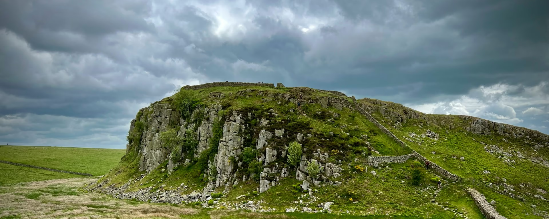
Painswick is the mid-point, and this section leaves it. The path drops to the Wash Brook, climbs to Edge Common, and comes out of the woods at Haresfield Beacon, an Iron Age fort looking over the escarpment and the River Severn. Standish Woods take you down toward the Stroud valleys, with bluebells and wood anemone in spring. At the Stroudwater Navigation the path splits. Take the way through King's Stanley. That village is the day end on the line. Selsley Common is the other path, and Stonehouse is off the line.
-
Start of section
Painswick
-
Haresfield Beacon
The fort and the view, over the escarpment and the River Severn, after Edge Common. Standish Woods are the way down, and spring brings bluebells and wood anemone.
-
Two paths
The canal choice
At the Stroudwater Navigation one path follows the canal and climbs Selsley Common. The other goes through King's Stanley. These plans take the village. The two paths meet again in Pen Wood, on the next section.
-
King's Stanley
The village on the line. Stonehouse is a bed off it, and this walk does not leave the path for it. The 5-day, the 7-day, the 8-day and the 9-day sleep here. The 4-day walks through.
-
End of section
King's Stanley
Section 9: Painswick to King's Stanley overview
The ground
- Beacon
- Woodland
- Canal
Down to a brook, up to a beacon, then a choice of paths at the canal. Birdlip to Painswick is the beech woods and the mid-point. After King's Stanley the Way climbs to Coaley Peak and Cam Long Down.
Stops
Refreshments
- Painswick before you leave. King's Stanley is a smaller place at the end. Eat in the town
Toilets
- The route page does not name a public toilet on this section
Before you go
Opposite direction
King's Stanley to Painswick
You leave King's Stanley and climb to Haresfield Beacon, so the Stroud valleys are behind you. Edge Common comes next. The Wash Brook is the dip before the climb into Painswick.
End of section
Painswick
Painswick to King's Stanley FAQ
How long is Painswick to King's Stanley?
The route page lists 7.8 miles (12.6 km), with 1,033 feet (315 m) of ascent and 1,082 feet (330 m) of descent. The distance at the top of this page is measured on the imported line between these ends, and it is longer than that listing. Take the path through the village.
Which path should I take at the canal?
Through King's Stanley. That is the night on the line. Selsley Common is the other official path, and it is not the bed. Stonehouse is off the line. The paths meet again in Pen Wood.
Can I download a GPX for Painswick to King's Stanley?
Yes. Use the GPX button at the top of this page. It is this section's line, for Garmin, Komoot, or your phone. Open the planner if you want a file built around your overnight stops.
Walk this as a day
Used as Day 5 on the 9-day. Open the planner on that preset, then export a full-trip or per-day GPX.
Open in planner Read the 9-day itinerary
Full-trip and per-day GPX files. Free, no account.
Explore