- On trail 4.9 mi 7.9 km
- Walking time 2–3 h
- Ascent 270 m 900 ft
- Descent 110 m 350 ft
- Difficulty Moderate
Lineover Wood, Seven Springs, and the Devil's Chimney.
Section 6: Dowdeswell to Leckhampton Hill map
Cross-check: National Trails route description . Opened 22 October 2026. The distance at the top of this page is measured on the imported line. The route page's miles, and the climb it prints for the section, stay in the answers below.
The walk
The path leaves the reservoir through Lineover Wood, beech and large-leaved lime. It climbs to Wistley Plantation, crosses farmland, and drops to pass close to Seven Springs, believed by some to be the source of the Thames. The next climb is Charlton Kings Common, with the view over Cheltenham and the Severn Vale, and the escarpment leads onto Leckhampton Hill. The Devil's Chimney is the rock pillar there. Neither end of this section is a night.
-
Start of section
Dowdeswell
-
Lineover Wood
Beech and large-leaved lime, just after the reservoir. It is the shaded start, before the path climbs to Wistley Plantation.
-
Seven Springs
A dip in the middle, close to the springs some people call the source of the Thames. It is not a night. The climb onto the common comes after it.
-
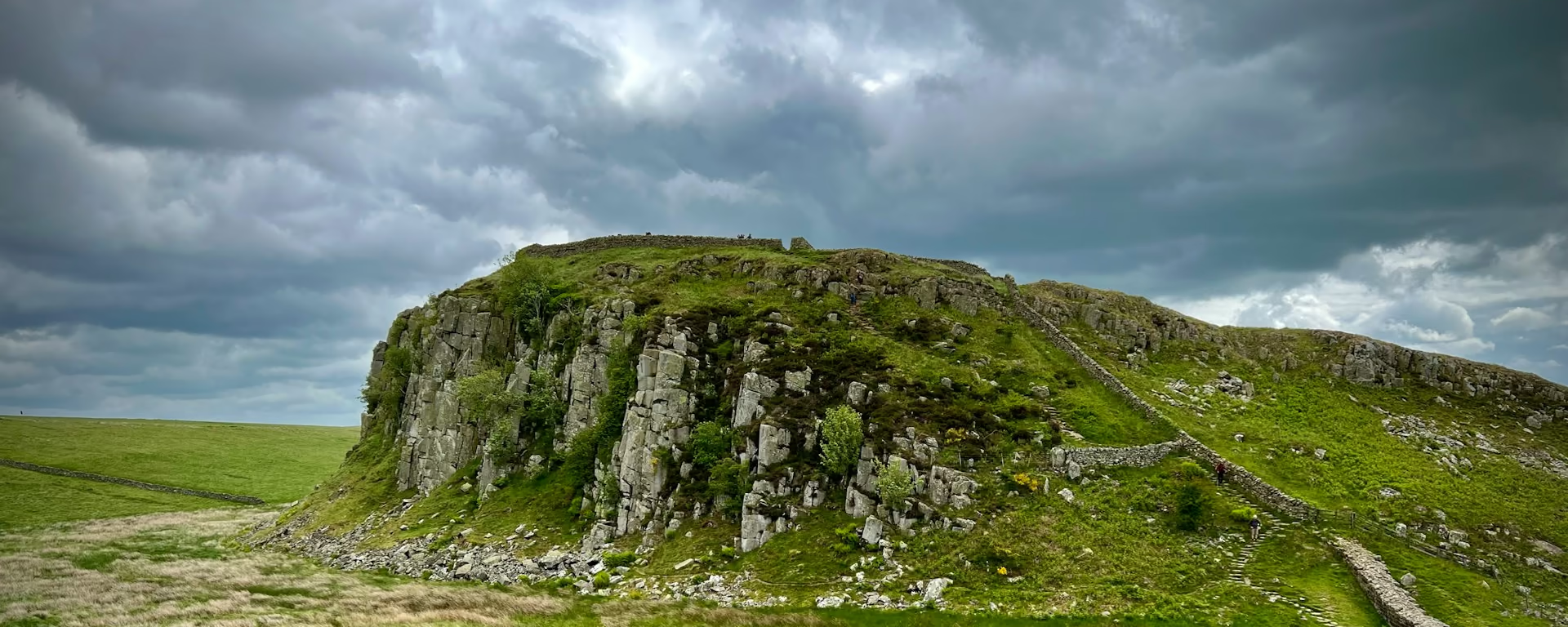
Devil's Chimney
The rock pillar on Leckhampton Hill, with the view over Cheltenham and the Severn Vale. The section ends on the hill, and Birdlip is still ahead.
-
End of section
Leckhampton Hill
Section 6: Dowdeswell to Leckhampton Hill overview
The ground
- Woodland
- Escarpment
- Devil's Chimney
Woods, a dip to Seven Springs, then the climb to the rock pillar. The common before this was the high, open part. Birdlip, and its diversion, come after the hill.
Stops
Refreshments
- Nothing named at the reservoir or on the hill. Eat before you leave Cleeve Hill
Toilets
- The route page does not name a public toilet on this section
Before you go
Opposite direction
Leckhampton Hill to Dowdeswell
You leave the rock pillar and drop off Charlton Kings Common. Seven Springs is the dip, then the climb through Wistley Plantation, and Lineover Wood brings you down to the reservoir.
End of section
Dowdeswell
Dowdeswell to Leckhampton Hill FAQ
How long is Dowdeswell to Leckhampton Hill?
The route page lists 4.7 miles (7.6 km), with 902 feet (275 m) of ascent and 344 feet (105 m) of descent. The distance at the top of this page is measured between these ends.
Can I stay on Leckhampton Hill?
Not on these plans. There is no bed at Dowdeswell either. Sleep on Cleeve Hill, or walk on to Birdlip. The Devil's Chimney is the thing to look for, not a village.
Can I download a GPX for Dowdeswell to Leckhampton Hill?
Yes. Use the GPX button at the top of this page. It is this section's line, for Garmin, Komoot, or your phone. Open the planner if you want a file built around your overnight stops.
Walk this as a day
Walked on the 9-day. Open the planner on that preset, then export a full-trip or per-day GPX.
Open in planner Read the 9-day itinerary
Full-trip and per-day GPX files. Free, no account.
Explore