- On trail 6.7 mi 10.8 km
- Walking time 2–3 h
- Ascent 150 m 500 ft
- Descent 110 m 350 ft
- Difficulty Moderate
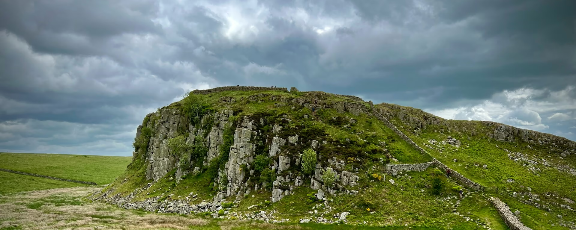
The wall of Dyrham Park, then the woods into Cold Ashton.
Section 14: Tormarton to Cold Ashton map
Cross-check: National Trails route description . Opened 22 October 2026. The distance at the top of this page is measured on the imported line. The route page's miles, and the climb it prints for the section, stay in the answers below.
The walk
The path leaves Tormarton south along the Marshfield Road and crosses arable fields to the wall of Dyrham Park. The house is a William and Mary mansion in an old deer park. From Dyrham village the Way climbs through Dyrham Woods, then farmland into Cold Ashton. That village has few beds. On the 9-day it is the night, so the walk into Bath stays a day of its own. On the 7-day and the 8-day you walk through it.
-
Start of section
Tormarton
-
Dyrham Park
A William and Mary mansion in an old deer park. The path follows the perimeter wall, then drops to the village of Dyrham before the woods.
-
Dyrham Woods
The climb after the village. Farmland on the far side brings you into Cold Ashton.
-
Few beds
Cold Ashton
The 9-day night, and the reason the finish stays a village day. Book it. When it is full, a taxi into Bath and back is the fallback. The 7-day and the 8-day walk through.
-
End of section
Cold Ashton
Section 14: Tormarton to Cold Ashton overview
The ground
- Deer park
- Woodland
- Village
Fields, a park wall, then a wooded climb into a small village. Dodington Park is the landscape before Tormarton. After Cold Ashton the path drops to Lower Hamswell and climbs to Lansdown.
Stops
Refreshments
- Little named between the villages. Eat before you leave Tormarton. Cold Ashton is small
Toilets
- The route page does not name a public toilet on this section
Before you go
Opposite direction
Cold Ashton to Tormarton
You leave Cold Ashton and drop through Dyrham Woods, with the park wall beside the path. The fields after Dyrham lead into Tormarton. The choice at Beacon Lane Plantation is at that end of the walk.
End of section
Tormarton
Tormarton to Cold Ashton FAQ
How long is Tormarton to Cold Ashton?
The route page lists 6.6 miles (10.6 km), with 558 feet (170 m) of ascent and 410 feet (125 m) of descent. The distance at the top of this page is measured between these ends.
Which path at Beacon Lane?
The signed diversion, unless a large group cannot wait at the road. It crosses the A46 at Field Lane. The other path is the original line through Beacon Lane Plantation. It is isolated, and the National Trail moved the signed route off it. The two paths are the same length.
Can I download a GPX for Tormarton to Cold Ashton?
Yes. Use the GPX button at the top of this page. It is this section's line, for Garmin, Komoot, or your phone. Open the planner if you want a file built around your overnight stops.
Walk this as a day
Ends Day 8 on the 9-day. Open the planner on that preset, then export a full-trip or per-day GPX.
Open in planner Read the 9-day itinerary
Full-trip and per-day GPX files. Free, no account.
Explore