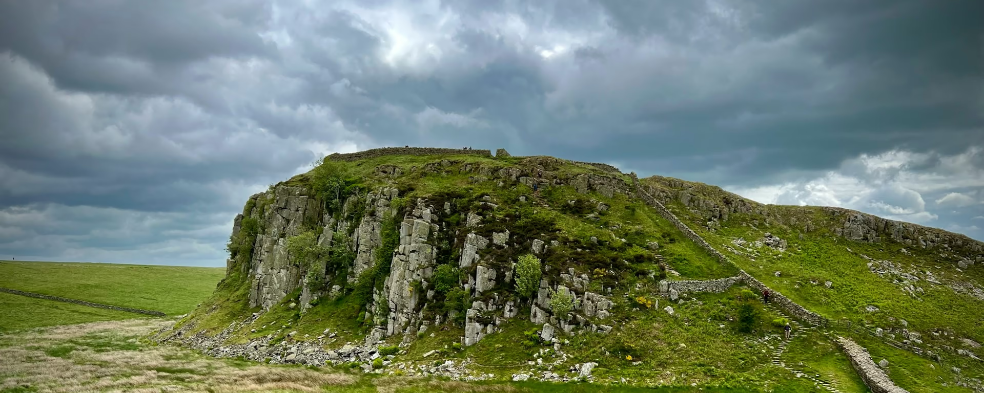
- On trail 5.0 mi 8.0 km
- Walking time 2–3 h
- Ascent 260 m 850 ft
- Descent 240 m 800 ft
- Difficulty Moderate
Stinchcombe Hill the long way, then the Tyndale Monument.
Section 11: Dursley to Wotton-under-Edge map
Cross-check: National Trails route description . Opened 22 October 2026. The distance at the top of this page is measured on the imported line. The route page's miles, and the climb it prints for the section, stay in the answers below.
The walk
The climb out of Dursley is steep, up onto Stinchcombe Hill. The best views are on the long way around the edge. A shortcut cuts the neck from the golf club, and the figure at the top of this page sits with that shortcut. Take the long loop. Woodland and fields then lead into North Nibley, and the next climb is the Tyndale Monument. A landslip closed the old slope just north of it. Follow the signed path. After the monument the Way levels to Wotton Hill, where a walled clump of trees was planted in 1815 for Waterloo, and drops into the town.
-
Start of section
Dursley
-
Take the long loop
Stinchcombe Hill
The views are on the perimeter. The shortcut leaves the golf club and cuts the neck, and it is the shorter line. Walk the edge.
-
Tyndale Monument
The steep climb out of North Nibley. A landslip closed the old slope to the north of the monument, and the trail information page lists that diversion as permanent. Follow the signs.
-
Wotton Hill
A walled clump of trees planted in 1815 for Waterloo, then the drop into the town. Stop here on the 7-day, the 8-day and the 9-day.
-
End of section
Wotton-under-Edge
Section 11: Dursley to Wotton-under-Edge overview
The ground
- Hill fort
- Monument
- Town
Two steep climbs, then a drop into the town. The views are on the long loop. Cam Long Down is the steep hill before Dursley. After Wotton the path follows a stream and climbs past Newark Park.
Stops
Refreshments
- Wotton-under-Edge at the end. Eat in the town. Dursley was the stop before the hill
Toilets
- The route page does not name a public toilet on this section
Before you go
Opposite direction
Wotton-under-Edge to Dursley
You climb out of Wotton to the walled trees on Wotton Hill, and the Tyndale Monument is the high point before the drop into North Nibley. Follow the signed path. Stinchcombe Hill comes next. Take the long loop. The steep descent is into Dursley.
End of section
Dursley
Dursley to Wotton-under-Edge FAQ
How long is Dursley to Wotton-under-Edge?
The route page lists 7.3 miles (11.8 km) around the edge of Stinchcombe Hill, or a shortcut of 4.8 miles (7.8 km), with 835 feet (260 m) of ascent and 836 feet (255 m) of descent. The distance at the top of this page is measured on the imported line, and it sits with the shortcut. Take the long loop, and you walk further than that figure.
Which way round Stinchcombe Hill?
The long way. The route page says the best views are on the perimeter, not the shortcut from the golf club. The GPX on this page follows the shorter line. On the hill, follow the edge, and follow the signed path up to the Tyndale Monument.
Can I download a GPX for Dursley to Wotton-under-Edge?
Yes. The GPX button gives the line measured for this page, and that line is the shortcut across Stinchcombe Hill. For the views, walk the longer loop. It is signed on the ground.
Walk this as a day
Ends Day 6 on the 9-day. Open the planner on that preset, then export a full-trip or per-day GPX.
Open in planner Read the 9-day itinerary
Full-trip and per-day GPX files. Free, no account.
Explore