- Distance 77.1 mi 124 km
- Duration 5–8 days
- Ascent 2,470 m 8,100 ft
- Descent 2,430 m 7,950 ft
- Difficulty Moderate
What is the Yorkshire Wolds Way?
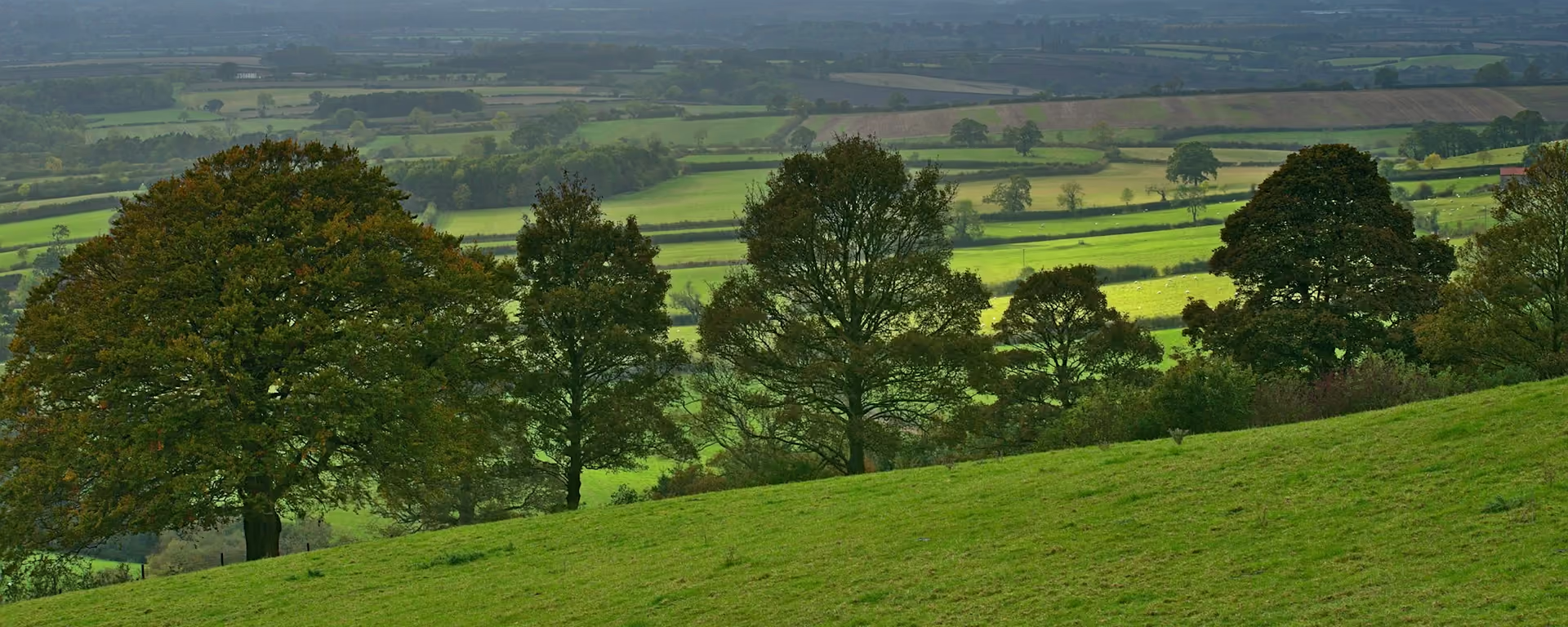
From under the Humber Bridge, across the chalk dales of the Yorkshire Wolds, to the sea at Filey Brigg. The Yorkshire Wolds Way runs 79 miles (127 km) through "tranquil and gentle countryside", and it is "one of the best trails for newbies".
The dales are the Wolds' surprise: steep grassy valleys with no stream at the bottom, folded into a landscape of field edges and quiet lanes. Past halfway, St Martin's church at Wharram Percy is the last building standing among the grassed-over outlines of a village cleared for sheep.
Stories line the way: at Goodmanham, Bede tells, the high priest Coifi rode in and burnt the pagan temple in 627. The WANDER shelter at Fridaythorpe and "Enclosure Rites" above the Vale of Pickering are among the artworks on the path. The walk ends at the acorn sculpture by Filey Brigg.
Yorkshire Wolds Way route map
How hard is the Yorkshire Wolds Way?
It is a good first long walk on the 7-day or 8-day. There is no high ground, topping out at 218 m (715 ft), and it is waymarked throughout. The effort comes in short bursts. Between Millington and Wintringham the path drops into one grassy dry valley after another and climbs steeply out of each.
On the 6-day, the hardest stretch is the end, with 16.1 mi (26.0 km) and 17.6 mi (28.2 km) on the last two days. The 7-day and 8-day keep every day under 13 miles. At the start, take the high-tide path at North Ferriby when the shore is under water or muddy.
Beds are the thing to plan. Millington, Thixendale and Wintringham have very few, and the beds at South Cave, Market Weighton and East Heslerton are a mile or so off the path. Thixendale to the Heslertons has nothing for sale, so carry lunch and water that day.
Itineraries and official sections
Pick a day count and the 5–8 day splits show where you would sleep each night, or read the route as the official town-to-town sections.
When is the best time to walk it?
- January, winter
- February, winter
- March, fair
- April, good
- May, best
- June, best
- July, good
- August, good
- September, best
- October, fair
- November, winter
- December, winter
Best months: May, June, and September
May, June and September are the months to aim for. May and September are the most popular, with "fabulous walking weather", and June brings the poppy fields, which last into early July.
April, July and August are good too, with long days for walking. March and October are fair. From November to February the path stays open, but the days are short and the bridleways muddy.
Rain falls on about 10 or 11 days a month for most of the year, and 12 or 13 in late autumn and winter. Pack waterproofs in any month.
Rain days each month:
- January, 13 rain days
- February, 11 rain days
- March, 10 rain days
- April, 10 rain days
- May, 10 rain days
- June, 11 rain days
- July, 11 rain days
- August, 11 rain days
- September, 10 rain days
- October, 12 rain days
- November, 13 rain days
- December, 13 rain days
Driest: March, April, May, and September — still 10 rain days.
East and North-East England averages, 1991 to 2020, the district that covers the Yorkshire Wolds.
How do I get there and back?
Hessle has a railway station, with trains from Hull, Leeds and Sheffield, and Hull has direct trains from London. Most walkers start at the sculpture under the Humber Bridge, about 3 miles (5 km) from central Hull.
Filey is on the railway too, with trains back to Hull, so both ends of the walk sit on one line. A bus also runs between Filey and Hull.
In between, South Cave and Sherburn have buses, and Millington has none. Check any bus before you plan a day around it.
Frequently asked questions
The walk
How long does the Yorkshire Wolds Way take?
Six days suits most walkers, and "it would be a shame to complete the walk in less than six days". Fit walkers can do it in five, and the plans here run from 5 to 8.
Which direction should I walk?
Either way works. Most walkers start at Hessle and finish at the sea in Filey. Starting at Filey can make beds easier to find in busy months.
Do I go by Market Weighton or Goodmanham?
At Spring Dale the Way forks: the Hudson Way runs into Market Weighton, and the other branch goes north to Goodmanham. Our plans and GPX follow the Goodmanham branch and step a mile or so off it to sleep in Market Weighton, which has the shops and beds.
Can I carry on along the Cleveland Way?
Yes. The Cleveland Way starts at the same sculpture by Filey Brigg, follows the coast north, then turns inland over the North York Moors to Helmsley.
Getting set
Do I need to book accommodation in advance?
Yes. Beds fill quickly, and some villages have very few. Book Millington, Thixendale and Wintringham first. If a night is full, starting midweek or walking from Filey can help.
Can I get my bag transferred?
Yes. A few firms move bags from bed to bed along the Way. Ask whether the van reaches Millington and Wintringham, and whether your dates are inside its season.
Can I wild camp on the Yorkshire Wolds Way?
Not without the landowner's permission, as in the rest of England. There are campsites along the way, including at Wintringham, East Heslerton and Sherburn.
This site & app
Is this the official Yorkshire Wolds Way website?
No. This site helps you plan days, stays and a GPX. For the route itself, notices and contacts, use the National Trail site. Yorkshire Wolds Way National Trail
Do I need an account?
No. Open a Yorkshire Wolds Way plan and change your stops straight away. An email is only needed if you want a link to carry on editing on another device.
Can I download a GPX of the Yorkshire Wolds Way?
Yes. Open a plan and export the whole trip, or one file per day, for your phone or watch. Each section page also has a GPX of that stretch. The file follows the Goodmanham branch.
Plan your Yorkshire Wolds Way
Choose your dates and pace, adjust overnight stops on the map, then export GPX files built around your route.
Explore


