- On trail 11.7 mi 18.8 km
- Walking time 5–6 h
- Ascent 420 m 1,400 ft
- Descent 480 m 1,550 ft
- Difficulty Moderate
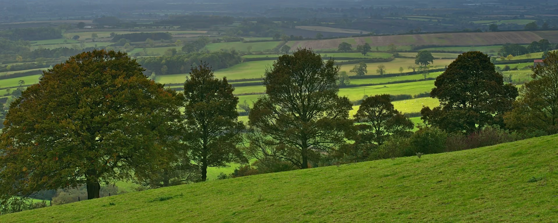
Down and up all day, through the grassy dry dales of the high Wolds.
Section 4: Millington to Thixendale map
Example stay The Cross Keys Inn Thixendale (opens in a new tab)
Cross-check: Yorkshire Wolds Way route description . Opened 6 November 2026. The route page gives each section's published miles, which the FAQ uses. The distance at the top of this page is measured along the trail between these towns. A walk off the path to a bed is extra.
The walk
Down and up, all day: the Yorkshire Wolds Way drops into one dry valley after another, and each has a short, steep climb out. Horse Dale and Holm Dale are grassy and quiet. From the high ground between them, the Humber Bridge and York Minster can show on a clear day. Thixen Dale's yellow banks bring you down to the village at the end.
-
Start of section
Millington
-
Leave the path
Huggate
The village drew its water from a well 116 yards (106 m) deep, "one of the deepest wells in England". It has an inn and a tearoom, about a kilometre off the path.
-
Lunch
Fridaythorpe
A village high on the wold and the place to eat. Its WANDER shelter, one of the trail's artworks, gives cover from the wind while you do.
-
Thixen Dale
Steep yellow grassy banks that have never been ploughed lead down to Thixendale. The Time and Flow spiral earthwork is nearby.
-
End of section
Thixendale
Section 4: Millington to Thixendale overview
The ground
- Dry valleys
- Grass
- Farm tracks
Up and down all day, never for long. More climbing than any section before it, in short bursts. Thixendale to Sherburn is longer.
Stops
Refreshments
- Huggate (off the path)
- Fridaythorpe
- Thixendale
Toilets
- The official route page names no public toilet on this section
Before you go
Opposite direction
Thixendale to Millington
Walking south, Fridaythorpe comes early, so lunch is in the morning and the afternoon is the long run of dales. Millington, in its own deep dale, is a welcome sight at the end.
End of section
Millington
Millington to Thixendale FAQ
How long is Millington to Thixendale?
It is 12 miles (19 km), with many short, steep climbs in and out of dry valleys.
Where can I eat on this section?
Fridaythorpe, on the path, has a pub, a café and a shop. Huggate, about a kilometre off, has an inn and a tearoom.
Is this the hardest section?
Not quite. It has the most climbs, but Thixendale to Sherburn is longer, crosses the highest ground and has nowhere to eat for most of the way.
Walk this as a day
Used as Day 4 on the 6-day. Open the planner on that preset, then export a full-trip or per-day GPX.
Open in planner Read the 6-day itinerary
Full-trip and per-day GPX files. Free, no account.
Explore


