- On trail 10.5 mi 16.9 km
- Walking time 4–5 h
- Ascent 310 m 1,000 ft
- Descent 300 m 1,000 ft
- Difficulty Easy
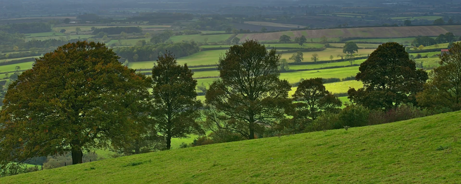
The first quiet day on the chalk, with empty fields and a dry green valley.
Section 2: South Cave to Market Weighton map
Example stay Towthorpe Grange
Cross-check: Yorkshire Wolds Way route description . Opened 6 November 2026. The route page gives each section's published miles, which the FAQ uses. The distance at the top of this page is measured along the trail between these towns. A walk off the path to a bed is extra.
The walk
Quiet is the first thing you notice: once the Yorkshire Wolds Way climbs out of South Cave, the farmland empties, and you may walk for hours without meeting anyone. Lanes cross High Hunsley Beacon under its tall mast. Swin Dale is the first of the Wolds' dry valleys, a smooth green floor between grassy banks. Goodmanham's church and pub come near the end.
-
Start of section
South Cave
-
Swin Dale
The first of the Wolds' dry valleys, its smooth green floor running between grassy banks with no stream at the bottom.
-
Lunch
Goodmanham
In 627 the high priest Coifi rode here on a stallion and burnt the pagan temple, so Bede wrote. The church dates from about 1130, and the Goodmanham Arms brews its own ale.
-
Market Weighton
Home of William Bradley, the Yorkshire Giant, 7 ft 9 in (2.36 m) tall. A life-size statue stands in the town, and he is buried inside All Saints' church.
-
End of section
Market Weighton
Section 2: South Cave to Market Weighton overview
The ground
- Lanes
- Dry valley
- Field edges
Long, easy miles on lanes and field edges. One of the easier sections. The dales after Millington are steeper.
Stops
Refreshments
- South Cave
- North Newbald (off the path)
- Goodmanham
- Market Weighton
Toilets
- The official route page names no public toilet on this section
Before you go
Opposite direction
Market Weighton to South Cave
Walking south, the quiet comes in the morning and the hills at the end. Lanes climb over High Hunsley Beacon, and the day finishes with a steep drop into South Cave, where the pubs are waiting.
End of section
South Cave
South Cave to Market Weighton FAQ
How long is South Cave to Market Weighton?
It is 12 miles (19 km) to Market Weighton or Goodmanham, mostly on lanes and field paths.
Should I go via Goodmanham or Market Weighton?
Either. At Spring Dale the Way forks: the Hudson Way, an old railway, runs into Market Weighton, and the other branch goes to Goodmanham. Our plans walk the Goodmanham branch and sleep in Market Weighton, a mile or two off it.
Where can I eat on this section?
North Newbald has two pubs, a detour of about a mile. Goodmanham has a pub and a tearoom near the end.
Walk this as a day
Used as Day 2 on the 6-day. Open the planner on that preset, then export a full-trip or per-day GPX.
Open in planner Read the 6-day itinerary
Full-trip and per-day GPX files. Free, no account.
Explore


