- On trail 8.8 mi 14.2 km
- Walking time 4–5 h
- Ascent 330 m 1,100 ft
- Descent 210 m 700 ft
- Difficulty Easy
Old parkland, red kites overhead and a first look into the deep dales.
Section 3: Market Weighton to Millington map
Example stay Laburnum Cottage Bed And Breakfast
Cross-check: Yorkshire Wolds Way route description . Opened 6 November 2026. The route page gives each section's published miles, which the FAQ uses. The distance at the top of this page is measured along the trail between these towns. A walk off the path to a bed is extra.
The walk
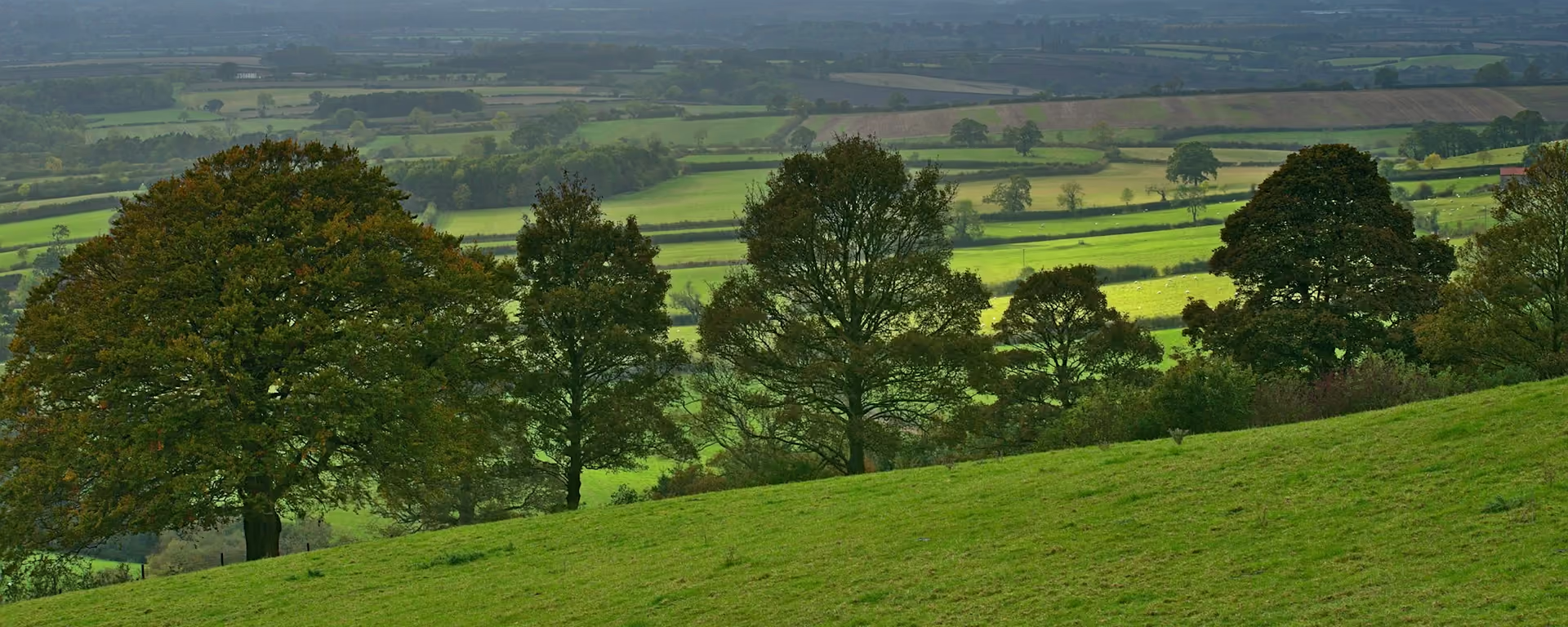
Old trees and open parkland: this is the gentlest walking on the Yorkshire Wolds Way. Londesborough Park is easy going, and red kites often circle above the woods. Near the end the ground rises above Warren Dale, and the first of the deep, steep-sided dales opens below you. It is the shortest section, so there is time to stop and look.
-
Start of section
Market Weighton
-
Kiplingcotes Derby
Run on the third Thursday in March since 1519, by tradition, this horse race finishes at Londesborough Wold Farm nearby. The runner-up often takes home more than the winner.
-
Lunch
Kilnwick Percy Hall
A country house below the wold, now a Buddhist centre that welcomes walkers to its café. It sits just off the path near the end of the day.
-
Warren Dale
On a clear day the climb above the dale looks west to York Minster and north to the White Horse of Kilburn.
-
End of section
Millington
Section 3: Market Weighton to Millington overview
The ground
- Parkland
- Woodland
- Grassy climb
Gentle parkland, with one climb near the end. The shortest and one of the easiest sections, a good half day to rest before the dales.
Stops
Refreshments
- Market Weighton
- Kilnwick Percy Hall (café)
- Millington
Toilets
- The official route page names no public toilet on this section
Before you go
Opposite direction
Millington to Market Weighton
Walking south, you leave the dales behind in the first hour. The rest is a long, easy descent through woods and parkland, the gentlest stretch to end a day on.
End of section
Market Weighton
Market Weighton to Millington FAQ
How long is Market Weighton to Millington?
It is 8½ miles (13.5 km), the shortest section of the Way.
Is there anywhere to eat on this section?
The café at Kilnwick Percy Hall, near the end. Millington has no shop, so bring food or arrange a meal with your bed.
Can I get to Millington by bus?
No public transport reaches Millington. Ask your bed about a lift if you need one.
Walk this as a day
Used as Day 3 on the 6-day. Open the planner on that preset, then export a full-trip or per-day GPX.
Open in planner Read the 6-day itinerary
Full-trip and per-day GPX files. Free, no account.
Explore


