- On trail 18.4 mi 29.6 km
- Walking time 8–9 h
- Ascent 580 m 1,900 ft
- Descent 630 m 2,050 ft
- Difficulty Moderate
A deserted medieval village, the highest ground and the longest day.
Section 5: Thixendale to Sherburn map
Example stay Oskada Park (opens in a new tab)
Cross-check: Yorkshire Wolds Way route description . Opened 6 November 2026. The route page gives each section's published miles, which the FAQ uses. The distance at the top of this page is measured along the trail between these towns. A walk off the path to a bed is extra.
The walk
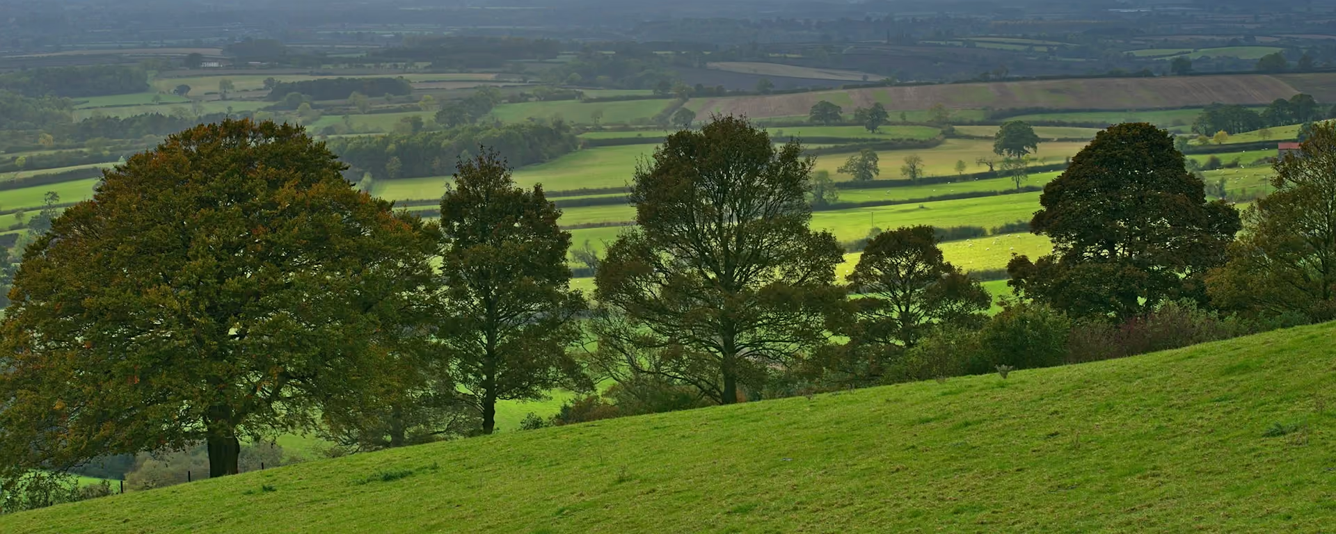
Wharram Percy is the reason to walk it: a village emptied for sheep around 1500, its roofless church standing among the grassy outlines of the houses. The Yorkshire Wolds Way reaches it over open chalk tops, the highest ground of the walk, and a short, very steep drop into Deep Dale. Woods by Settrington Beacon look out over the Vale of Pickering. It is a long way, with nowhere to buy food.
-
Start of section
Thixendale
-
Wharram Percy
Digs ran every summer from the 1950s to 1990 and pieced together six centuries of village life. St Martin's church is the last medieval building standing.
-
Deep Dale
A dry valley you drop into down a short, extremely steep bank. Take it slowly, especially when the grass is wet.
-
Settrington Beacon
Woods on the edge of the wold, where the view opens north across the Vale of Pickering to the North York Moors.
-
End of section
Sherburn
Section 5: Thixendale to Sherburn overview
The ground
- Open tops
- Woodland
- Field edges
Long and empty, with open tops and one very steep drop. The longest section, with the highest ground and nowhere to eat for most of the day.
Stops
Refreshments
- Thixendale
- West Heslerton (off the path)
- Sherburn
Toilets
- The official route page names no public toilet on this section
Before you go
Opposite direction
Sherburn to Thixendale
Walked westward, the flat field miles come first, and Deep Dale's steep climb waits near the end of a long day. Thixendale's pub, down in the valley, is the reward.
End of section
Thixendale
Thixendale to Sherburn FAQ
How long is Thixendale to Sherburn?
It is 19 miles (30 km), the longest section. Most people split it at Wintringham or East Heslerton.
Where can I stay on this section?
Wintringham has a campsite that lets a log cabin, and East Heslerton has a farm B&B and campsites. Sherburn's beds are campsites.
Is there food on this section?
Not between Thixendale and the Heslertons. The Dawnay Arms at West Heslerton is a short way off near the end, and Sherburn has a pub and a shop.
Walk this as a day
Split between Days 5 and 6 of the 6-day, with the night in East Heslerton. Open the planner on that preset, then export a full-trip or per-day GPX.
Open in planner Read the 6-day itinerary
Full-trip and per-day GPX files. Free, no account.
Explore


