- On trail 15.3 mi 24.6 km
- Walking time 6–7 h
- Ascent 460 m 1,500 ft
- Descent 490 m 1,600 ft
- Difficulty Moderate
The last dry valleys, old burial mounds, and the sea at Filey Brigg.
Section 6: Sherburn to Filey map
Cross-check: Yorkshire Wolds Way route description . Opened 6 November 2026. The route page gives each section's published miles, which the FAQ uses. The distance at the top of this page is measured along the trail between these towns. A walk off the path to a bed is extra.
The walk
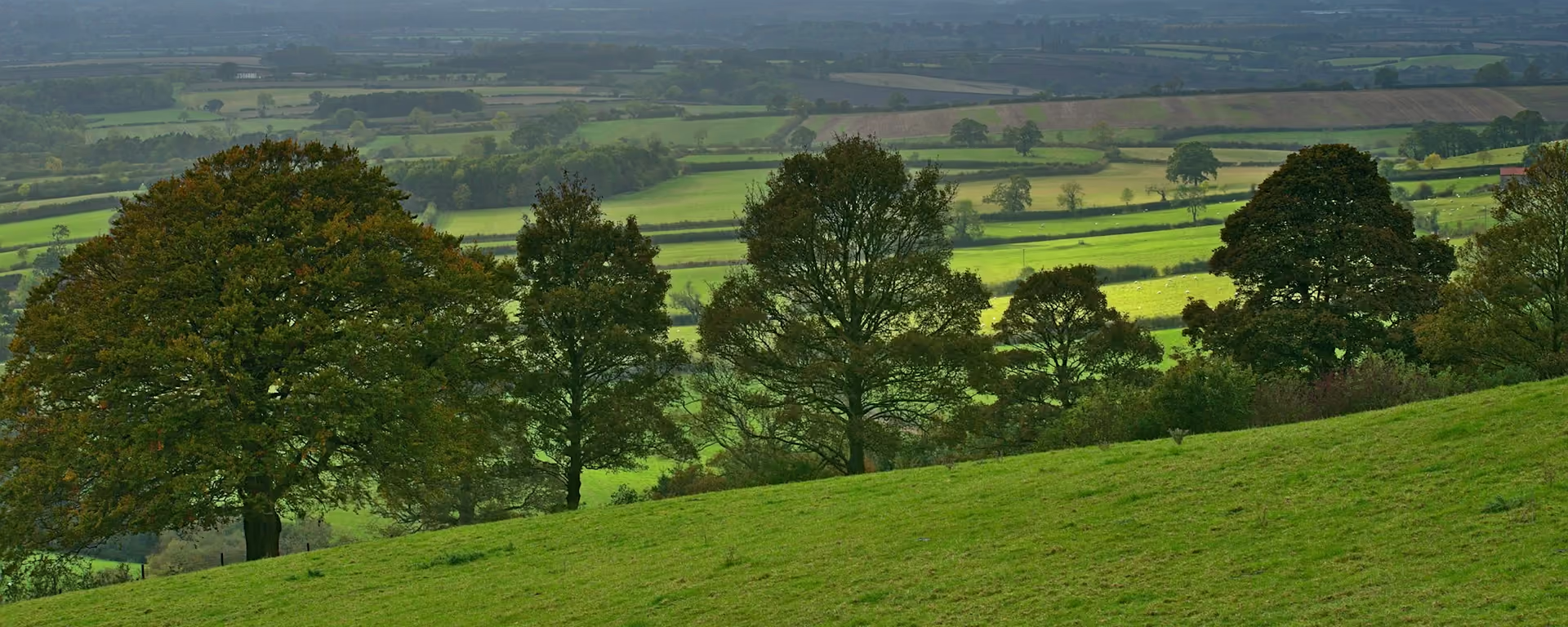
The walk ends at the sea, at Filey Brigg, where the Yorkshire Wolds Way meets the Cleveland Way. The last miles of chalk are old ground, scattered with burial mounds and Iron Age earthworks, in fields cleared long ago for a priory's sheep. A climb above Staxton Brow takes you onto the Wolds one final time before the land falls away to the coast.
-
Start of section
Sherburn
-
Staxton Brow
The last climb onto the Wolds, and the last long look back along the Vale of Pickering you have walked beside.
-
The finish
Filey Brigg
A long rocky arm north of Filey. The finish sculpture with the National Trail acorn is shared with the Cleveland Way, which carries on north.
-
Official finish
Filey
Section 6: Sherburn to Filey overview
The ground
- Field edges
- Dry valleys
- Coast
Steady miles, one long climb, and the coast to finish. Long but steady, with fewer steep climbs than the dales sections.
Stops
Refreshments
- Sherburn
- Ganton (Greyhound)
- Filey
Toilets
- The official route page names no public toilet on this section
Before you go
Opposite direction
Filey to Sherburn
Starting at the sea means turning your back on it early. The climb onto the Wolds is long but gentle, and the day ends down on the flat at Sherburn.
End of section
Sherburn
Sherburn to Filey FAQ
How long is Sherburn to Filey?
It is 17 miles (28 km), mostly steady walking with one long climb.
How do I get home from Filey?
Filey has a railway station with trains to Hull, and a bus runs between Filey and Hull. Check times before you travel.
Can I keep walking along the coast?
Yes. The Cleveland Way starts at Filey Brigg and heads north along the cliffs. You can also take a bus to Speeton and follow the England Coast Path to Flamborough.
Walk this as a day
Most of Day 6 of the 6-day, which starts at East Heslerton. Open the planner on that preset, then export a full-trip or per-day GPX.
Open in planner Read the 6-day itinerary
Full-trip and per-day GPX files. Free, no account.
Explore


