What is the Dales Way?
The Dales Way is a week of river paths through the Yorkshire Dales, crossing the watershed between the North Sea and the Irish Sea to finish above Windermere, England's grandest lake in the Dales Way Association's words. Ramblers in the West Riding devised it in 1968. It runs about 80 miles (128 km), from Ilkley to Bowness-on-Windermere.
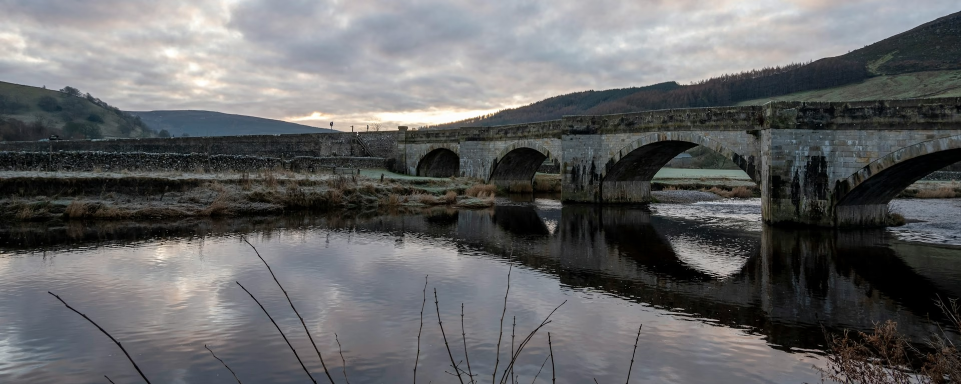
For two days you walk up the Wharfe on grass and riverside path, under the oaks of Strid Wood and past the ruined priory at Bolton Abbey. Above Grassington the ground turns to limestone, grooved pavement underfoot, with the great rock mass of Kilnsey Crag across the dale.
The one wild day crosses Cam Fell, where the Wharfe begins, on boggy moor and an old Roman road. After it, Dentdale's hay meadows lead to the cobbled street of Dent. The last days cross farmland by the Lune and the Kent, and low, craggy fells bring you to a stone bench above the lake.
Dales Way route map
The full Dales Way from Ilkley to Bowness-on-Windermere. Tap any day to open that itinerary in the planner and see overnight stops along the way. The panel below the map shows the elevation profile.
How hard is the Dales Way?
The Association calls it one of the easier long-distance walks in the UK, with gentle gradients along valleys and rivers. None of it is technical. What makes it a week's work is the length, the many stiles and gates, and field paths that turn muddy after rain.
The hard day is the crossing of Cam Fell, between Buckden and Dentdale. It is the highest ground, at about 520 m (1,705 ft), with boggy moor and no shop for over 20 miles. The farm miles after Sedbergh are lower but long, with little food on the way. With your bags moved for you, it makes a good first long walk.
Waymarking is generally very good, but carry a map for the moor in mist. There is no reliable phone signal at Oughtershaw, at the top of Langstrothdale. Cash machines are few along the way, and some beds do not take cards, so carry enough cash.
Dales Way itineraries and official sections
Pick a day count and the 5–9 day splits show where you would sleep each night, or read the route as the official town-to-town sections.
When is the best time to walk the Dales Way?
- January, winter
- February, winter
- March, fair
- April, good
- May, best
- June, best
- July, best
- August, best
- September, best
- October, good
- November, fair
- December, winter
Best months: May, June, July, August, and September
The Association says the best time is between April and October. For a first walk we suggest May, June, July, August or September.
July and August are the busiest months, with the school holidays. Winter walking is possible, but the Association warns it is wetter, muddier and more challenging, and many places on the way open only in season.
Rain is possible in any month. Northern England has its fewest wet days in April and May and the most from October to January, so pack waterproofs whenever you go.
Rain days each month:
- January, 14 rain days
- February, 12 rain days
- March, 11 rain days
- April, 11 rain days
- May, 10 rain days
- June, 11 rain days
- July, 12 rain days
- August, 12 rain days
- September, 11 rain days
- October, 14 rain days
- November, 15 rain days
- December, 15 rain days
Driest: May — still 10 rain days.
These are northern England averages. The walk ends in Cumbria, which is wetter, and the moor on Cam Fell is wetter still.
How do I get there and back?
Ilkley station is a few hundred metres from the start, with fast, frequent trains from Leeds and Bradford Forster Square. From Manchester or London you change at Leeds.
The finish above Bowness-on-Windermere is about 1.5 miles from Windermere station, or take the 599 bus. Trains run about hourly to Oxenholme on the West Coast main line and on to Lancaster.
Midway, Settle–Carlisle trains stop at Ribblehead, just over a mile from the path at Gearstones. Dales buses and the Sedbergh bus run on set days only, none of them every day, so check times before you go.
Frequently asked questions
The walk
How long does the Dales Way take?
About a week. The Association says most people take 5 to 7 days, and our recommended plan is 6. Our plans run from 5 to 9 walking days. The 5-day has two days over 20 miles (32 km) in a row. The 7-day and longer give the Cam Fell crossing a day of its own.
Which direction should I walk?
Most walkers go from Ilkley to Bowness-on-Windermere, the way guides and holidays run. That way the walk ends at the Dales Way Bench above the lake. The Association names no preferred direction, and the planner reverses the plans if you would rather start in the Lakes.
Is there an easier way over Cam Fell?
Not easier, but there is a choice. A popular alternative crosses the watershed between Cam Houses and upper Dentdale on the Pennine Bridleway, and the Association has a guide to it. If you are not confident of your fitness or navigation, split the crossing with a night at Oughtershaw, as our 7-day and longer plans do.
Getting set
Do I need to book accommodation in advance?
Yes. The nights around the high crossing are the hardest to find: Hubberholme has one inn, and Oughtershaw and Cowgill only a few beds. Burnsall and the night near Patton Bridge are small too, and Sedbergh does get booked up. Walkers who booked seven weeks ahead got all but one of their first choices.
Can I get my bag transferred?
Yes. Several companies move bags between your beds, mostly from late March to mid-October, and one also runs in winter by taxi for an extra charge. A bag a day is usually £10 to £25. Check the season for your dates, and pack one bag within the weight limit.
This site & app
Is this the official Dales Way website?
No. This site helps you plan days, stays and a GPX. For route changes and official advice, use the Dales Way Association's site. The Dales Way Association
Do I need an account?
No. Open a Dales Way plan and change your stops straight away. An email is only needed if you want a link to carry on editing on another device, and the GPX downloads without one.
Can I download a GPX of the Dales Way?
Yes. Open a plan and export the whole trip, or one file per day, for your phone or watch. Each section page also has a GPX of that stretch. Where the Association has changed the line, follow the signs on the ground.
Plan your Dales Way
Choose your dates and pace, adjust overnight stops on the map, then export GPX files built around your route.
Explore


