What is this 6-day itinerary?
Six days is the usual way to walk the Dales Way, and the length most guides give. You follow the Wharfe up Wharfedale for two days, cross the bleak top of Cam Fell on the third, then follow Dentdale and the Lune to the lake. Most days run 13 to 16 miles, with two shorter ones to rest your legs.
Read the Dales Way guide for the whole trail.
Will this 6-day split work for you?
- A first long walk, with bags moved between your beds. Most guides treat six days as the standard Dales Way.
- Walkers happy with 13 to 16 miles a day on mostly gentle riverside paths, with one bleak moorland crossing.
- Book Hubberholme and Cowgill first. Each has only a handful of beds, and the high crossing sits between them.
Fitness & effort
Days run from 9.3 mi (15 km) to 15.8 mi (25.4 km). The riverside miles are easy, but there are many stiles and gates, and paths turn muddy after rain. The hard day is the crossing from Hubberholme to Cowgill, on boggy moor with no shop. If you can walk 15 miles two days running, you can walk this.
Your 6-day route on the map
Toward Bowness
Ilkley to Bowness-on-Windermere in 6 days
Ilkley to Bowness-on-Windermere, the way every guide runs, up the Wharfe and over to the lake.
| Day | Stage | Distance | Overnight / destination |
|---|---|---|---|
| Day 1 | Ilkley → Burnsall | 13.0 mi (21.0 km) | The Red Lion, Burnsall (opens in a new tab) |
| Day 2 | Burnsall → Hubberholme | 14.7 mi (23.7 km) | The George Inn (opens in a new tab) |
| Day 3 | Hubberholme → Cowgill | 15.4 mi (24.8 km) | The Sportsman's Inn (opens in a new tab) |
| Day 4 | Cowgill → Sedbergh | 9.9 mi (15.9 km) | The Dalesman Country Inn (opens in a new tab) |
| Day 5 Longest | Sedbergh → Burneside | 15.8 mi (25.4 km) | Jolly Anglers Inn (opens in a new tab) |
| Day 6 | Burneside → Bowness-on-Windermere | 9.3 mi (15.0 km) | Dales Way Finish |
-
Day 1
Ilkley to Burnsall
13.0 mi (21.0 km) ↑ 270 m (900 ft) ↓ 200 m (650 ft)
A gentle opening on grass by the Wharfe, with a new path that keeps you off the busy road past Addingham. Bolton Abbey's priory ruins draw crowds of day-trippers, and Barden Tower has a café. Burnsall is an Anglo-Viking village between the fells, with the Red Lion on the river and only a few beds, so book early.
Example stay The Red Lion, Burnsall (opens in a new tab)
-
Day 2
Burnsall to Hubberholme
14.7 mi (23.7 km) ↑ 330 m (1,100 ft) ↓ 230 m (750 ft)
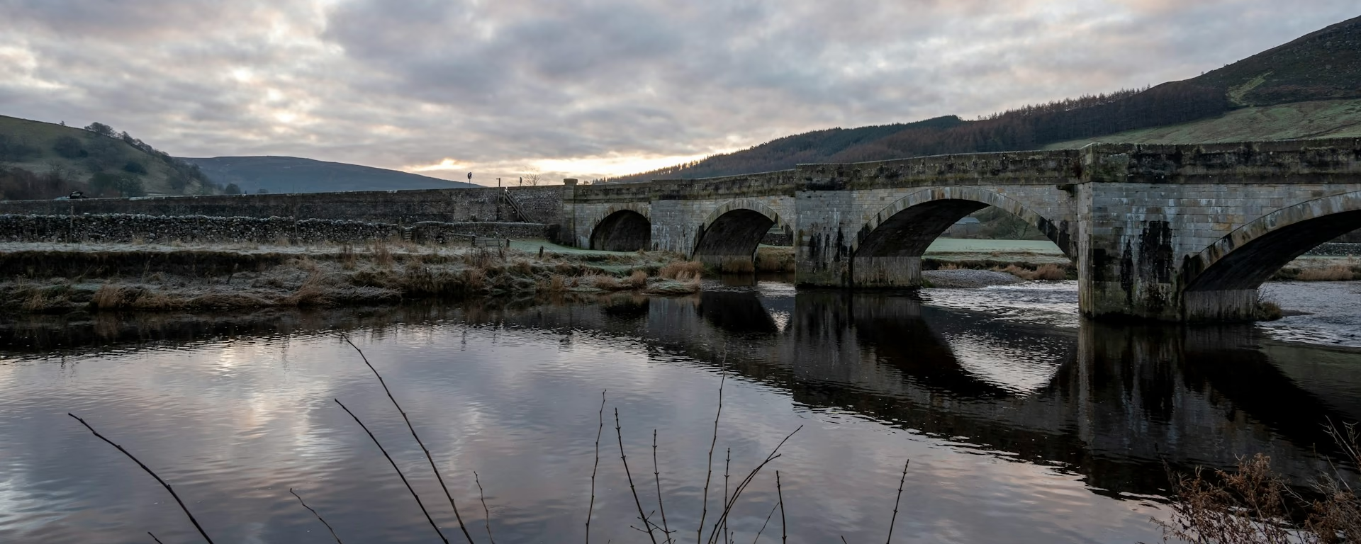
Two halves, a hill and a river. After Grassington the path climbs onto limestone pavement cut with deep grooves, with Kilnsey Crag across the dale. Lunch in Kettlewell, which has three pubs and a café. The last two hours are flat beside the Wharfe to Hubberholme, where the George Inn is the only place to eat or sleep.
Example stay The George Inn (opens in a new tab)
-
Day 3
Hubberholme to Cowgill
15.4 mi (24.8 km) ↑ 490 m (1,600 ft) ↓ 490 m (1,600 ft)
The crossing of Cam Fell, the highest and wildest ground of the walk. Langstrothdale climbs slowly to the source of the Wharfe, then boggy moor and the stony Cam High Road carry you over the watershed. There is no shop all day, so carry food. The Sportsman's Inn has no TV and no phone signal, which makes for an early night.
Example stay The Sportsman's Inn (opens in a new tab)
-
Day 4
Cowgill to Sedbergh
9.9 mi (15.9 km) ↑ 130 m (450 ft) ↓ 250 m (800 ft)
A short day down Dentdale, a quiet, secretive valley after the open moor. The River Dee leads to Dent, where whitewashed cottages line a cobbled street and two pubs serve lunch. Only the last stretch is hard work, an uphill road into Sedbergh that feels long on tired legs.
Example stay The Dalesman Country Inn (opens in a new tab)
-
Day 5 Longest
Sedbergh to Burneside
15.8 mi (25.4 km) ↑ 470 m (1,550 ft) ↓ 530 m (1,750 ft)
The longest day, and the emptiest. Below Sedbergh the Dales give way to small drumlin hills, sheep farms and hedges. The Lune viaduct, disused but spectacular, is the sight of the morning. After you cross the M6 and the main railway there is almost nothing to buy, so carry lunch, and in rain the field paths are hard going.
Example stay Jolly Anglers Inn (opens in a new tab)
-
Day 6
Burneside to Bowness-on-Windermere
9.3 mi (15.0 km) ↑ 340 m (1,100 ft) ↓ 360 m (1,200 ft)
A half day to the lake. Above Staveley a steep, narrow lane seems to go on for ages, then the land turns wilder, with spikier peaks and thorny gorse. Windermere opens below, and the Dales Way Bench above Bowness marks the finish. The afternoon is free for a cruise on the lake before the train home.
Finish Dales Way Finish
Cross-check: Dales Way Association FAQ . The Association gives 80 miles (128 km) and about 5 to 7 days. Distances on the cards are measured along the trail. A walk off the path to a bed is extra.
Toward Ilkley
Bowness-on-Windermere to Ilkley in 6 days
The same nights, starting at Windermere. The Cam Fell crossing climbs out of Dentdale, and the last days follow the Wharfe down to Ilkley.
| Day | Stage | Distance | Overnight / destination |
|---|---|---|---|
| Day 1 | Bowness-on-Windermere → Burneside | 9.3 mi (15.0 km) | Jolly Anglers Inn (opens in a new tab) |
| Day 2 Longest | Burneside → Sedbergh | 15.8 mi (25.4 km) | The Dalesman Country Inn (opens in a new tab) |
| Day 3 | Sedbergh → Cowgill | 9.9 mi (15.9 km) | The Sportsman's Inn (opens in a new tab) |
| Day 4 | Cowgill → Hubberholme | 15.4 mi (24.8 km) | The George Inn (opens in a new tab) |
| Day 5 | Hubberholme → Burnsall | 14.7 mi (23.7 km) | The Red Lion, Burnsall (opens in a new tab) |
| Day 6 | Burnsall → Ilkley | 13.0 mi (21.0 km) | Ilkley |
-
Day 1
Bowness-on-Windermere to Burneside
9.3 mi (15.0 km) ↑ 360 m (1,200 ft) ↓ 340 m (1,100 ft)
Take the 599 bus or walk about 1.5 miles from Windermere station to the start above Bowness. The first miles cross low, craggy fells. From Staveley the River Kent makes an easy finish to Burneside.
Example stay Jolly Anglers Inn (opens in a new tab)
-
Day 2 Longest
Burneside to Sedbergh
15.8 mi (25.4 km) ↑ 530 m (1,750 ft) ↓ 470 m (1,550 ft)
Small hills and sheep farms all morning, with nowhere to buy food. Crossing the M6 brings you to the Lune, and the path follows the river past rocky outcrops before climbing to Sedbergh, under the Howgill Fells.
Example stay The Dalesman Country Inn (opens in a new tab)
-
Day 3
Sedbergh to Cowgill
9.9 mi (15.9 km) ↑ 250 m (800 ft) ↓ 130 m (450 ft)
Down the road out of Sedbergh, then the quiet valley of Dentdale opens ahead. Hay meadows and field barns line the Dee to Dent for lunch, and the river leads on to a quiet night at Cowgill.
Example stay The Sportsman's Inn (opens in a new tab)
-
Day 4
Cowgill to Hubberholme
15.4 mi (24.8 km) ↑ 490 m (1,600 ft) ↓ 490 m (1,600 ft)
Steep from this side: the climb out of Dentdale comes before you have warmed up. Over the top, the old Roman road and the boggy moor lead to a long, easy descent of Langstrothdale and the George Inn.
Example stay The George Inn (opens in a new tab)
-
Day 5
Hubberholme to Burnsall
14.7 mi (23.7 km) ↑ 230 m (750 ft) ↓ 330 m (1,100 ft)
The morning is an easy two hours by the river to Kettlewell, so save your energy. Then the path climbs onto the limestone edge past Conistone Pie and drops to Grassington, with a flat riverside finish to Burnsall.
Example stay The Red Lion, Burnsall (opens in a new tab)
-
Day 6
Burnsall to Ilkley
13.0 mi (21.0 km) ↑ 200 m (650 ft) ↓ 270 m (900 ft)
Burnsall's fells fall behind and the dale opens out as you follow the river down. Barden Tower's café is a good first stop. By Bolton Abbey the crowds return, and the last miles to Ilkley feel suburban after a week in the hills.
Finish Ilkley
6-day itinerary FAQ
Is 6 days the right length for the Dales Way?
For most walkers, yes. The Association says most people take about 5 to 7 days, and six is what most guides offer. It keeps every day under 16 miles (26 km) and gives the Cam Fell crossing a full day, with a short day down Dentdale after it.
Which day is the hardest?
Hubberholme to Cowgill, over Cam Fell: boggy moor, the stony Cam High Road and no shop all day. Sedbergh to Burneside is slightly longer on the cards, at 15.8 mi (25.4 km), but lower and easier underfoot.
Can I download a GPX for the 6-day Dales Way?
Yes. Open this itinerary in the planner (free, no account). Download a full-route GPX or per-day files for Garmin, Komoot, or your phone. You can export the preset unchanged or edit overnight stops first.
Personalise this itinerary
This 6-day itinerary is ready as it stands. Open it in the planner to keep these stops, or change where you sleep, then download the GPX for your watch or phone.
Open in planner Back to the comparison
Full-trip and per-day GPX files. Free, no account.
Explore


