Section 4: Gearstones to Sedbergh map
Cross-check: Dales Way Association route description . Opened 31 October 2026. The route page lists no section distances; the distance at the top of this page is measured between these ends.
The walk
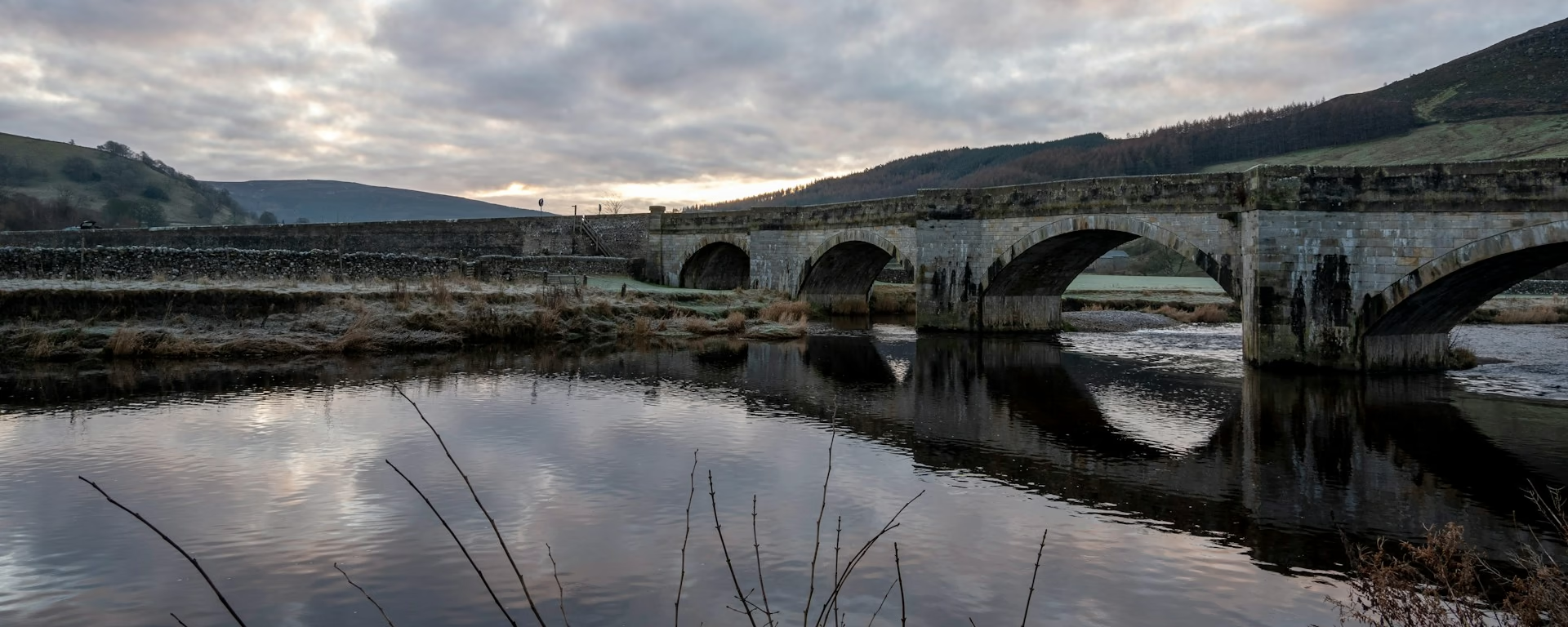
After the moor, Dentdale feels like a hidden valley, green and quiet. The path drops steeply into it and follows the River Dee down through hay meadows and past field barns. Dent is a small township that the Association says has changed little in two centuries, with whitewashed cottages on a cobbled street. Across the Pennine Fault the rock turns to slate, and the day ends in Sedbergh, a market town under the Howgill Fells.
-
Start of section
Gearstones
-
Lunch
Dent
Whitewashed cottages and cobbled streets, with the Sun Inn, the George & Dragon, two cafés, a shop and a post office.
-
Geology
The Pennine Fault
In Dentdale the path crosses the Pennine Fault, and the limestone gives way to Silurian slate. Sedbergh, at the end of the section, is on the slate side.
-
The night
Sedbergh
A market town under the Howgill Fells, with independent shops, a supermarket, pubs and cafés, and a post office that gives cash.
-
End of section
Sedbergh
Section 4: Gearstones to Sedbergh overview
The ground
- Riverside
- Meadows
- Lanes
A valley walk by the river, after a steep start down off the moor. One of the easier sections, a rest after Cam Fell. The road walking here is the longest on the trail.
Stops
Refreshments
- Cowgill (Sportsman's Inn)
- Dent
- Sedbergh
Toilets
- Dent
- Sedbergh
Before you go
Opposite direction
Sedbergh to Gearstones
Walked from Sedbergh, stock up in town, because Dent is the last shop before Buckden. The valley rises slowly past the hay meadows to Cowgill. The real climb is at the end, steeply out of the dale onto the moor at Gearstones.
End of section
Gearstones
Gearstones to Sedbergh FAQ
How long is Gearstones to Sedbergh?
The Association does not list miles for each section. The distance at the top of this page is measured along the trail between these ends; a walk off the path to your bed is extra.
Where can I stop for the night?
Cowgill, at the top of Dentdale, has the Sportsman's Inn and a couple of other beds, and our 6- to 9-day plans stop there. Dent has more choice, and our 5-day stops there.
Can I download a GPX for Gearstones to Sedbergh?
Yes. Use the GPX button at the top of this page. It is this section's line, for Garmin, Komoot, or your phone. Open the planner if you want a file built around your overnight stops.
Walk this as a day
Days 3 and 4 of the 6-day share this section, with the night at Cowgill. Open the planner on that preset, then export a full-trip or per-day GPX.
Open in planner Read the 6-day itinerary
Full-trip and per-day GPX files. Free, no account.
Explore


