Section 5: Sedbergh to Burneside map
Example stay Jolly Anglers Inn (opens in a new tab)
Cross-check: Dales Way Association route description . Opened 31 October 2026. The route page lists no section distances; the distance at the top of this page is measured between these ends.
The walk
This is where the Dales end. The path follows the River Lune past a disused viaduct to Crook of Lune Bridge. Then it crosses the Lune Gorge, which carries three major transport routes, among them the M6 and the West Coast main line. Beyond lie small green hills, many of them glacial drumlins, and sheep farms. There is little or nothing to buy until Burneside.
-
Start of section
Sedbergh
-
The sight
Lune Viaduct
The old viaduct over the River Lune is long disused. One walker called it "another disused but spectacular bridge".
-
Old bridge
Crook of Lune Bridge
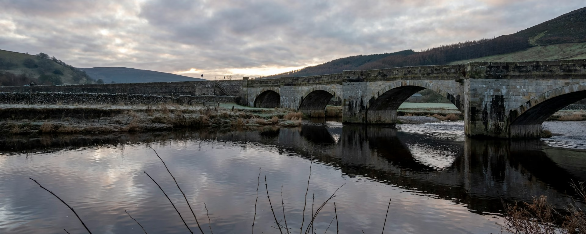
The bridge at Crook of Lune, at the end of the riverside walk from Sedbergh, before the gorge and its roads and railway.
-
The night
Burneside
An old mill town on the River Kent, with a grocery, a bakery, a chip shop and the Jolly Anglers, where evening meals are worth checking ahead.
-
End of section
Burneside
Section 5: Sedbergh to Burneside overview
The ground
- Farmland
- Riverside
- Hills
Gentle hills and farmland, but long, with little or no food on the way. Lower and easier than Cam Fell, but feels longer than its miles, because there is so little on the way.
Stops
Refreshments
- Sedbergh
- Grayrigg (Law Barn
- when open)
- Burneside
Toilets
- Sedbergh
Before you go
Opposite direction
Burneside to Sedbergh
Walked from Burneside, buy food in the village, because the farm miles have almost nothing on them. Over the gorge the Lune leads back into the Dales. From then on the Howgill Fells grow ahead of you, above Sedbergh and its pubs.
End of section
Sedbergh
Sedbergh to Burneside FAQ
How long is Sedbergh to Burneside?
The Association does not list miles for each section. The distance at the top of this page is measured along the trail between these ends; a walk off the path to your bed is extra.
Can I split it?
Yes. Our 7-, 8- and 9-day plans stop near Patton Bridge, where beds are very few. Book that night early.
Can I download a GPX for Sedbergh to Burneside?
Yes. Use the GPX button at the top of this page. It is this section's line, for Garmin, Komoot, or your phone. Open the planner if you want a file built around your overnight stops.
Walk this as a day
Used as Day 5 on the 6-day. Open the planner on that preset, then export a full-trip or per-day GPX.
Open in planner Read the 6-day itinerary
Full-trip and per-day GPX files. Free, no account.
Explore


