Section 1: Ilkley to Burnsall map
Example stay The Red Lion, Burnsall (opens in a new tab)
Cross-check: Dales Way Association route description . Opened 31 October 2026. The route page lists no section distances; the distance at the top of this page is measured between these ends.
The walk
A gentle day on grass beside the Wharfe, from the edge of the West Yorkshire towns into the Dales. The ruined priory at Bolton Abbey is the big sight, busy with day visitors. Beyond it the path runs under the oaks of Strid Wood, an easy, lovely stretch. Past Barden Bridge come green fields of sheep, with drystone walls zigzagging up the hills to Burnsall, an Anglo-Viking village between the fells.
-
Official start
Ilkley
-
The sight
Bolton Abbey
The ruined Augustinian priory is the main highlight of the day for most walkers. The estate has a post office, a shop and several tea rooms and cafés.
-
Woodland
Strid Wood
A lovely, easy stretch along the river through oak trees, on the Bolton Abbey estate. Take it slowly; there is no need to hurry on a day this gentle.
-
Lunch
Barden Bridge and Barden Tower
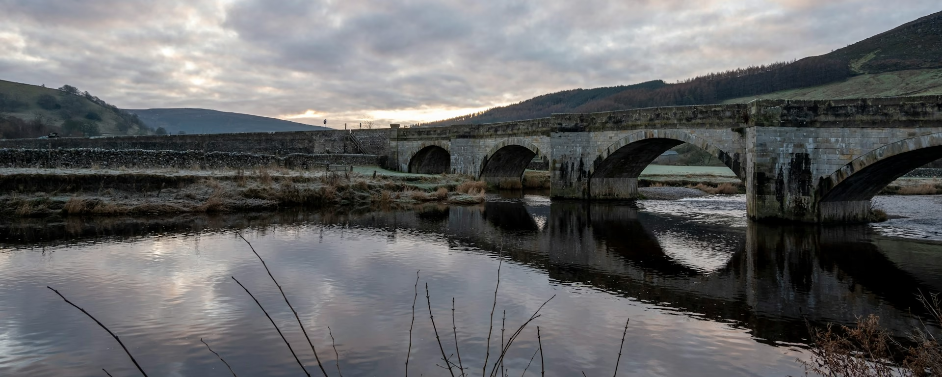
The tower has a café. Past the bridge the path runs through green fields of sheep, with drystone walls zigzagging up the hills.
-
End of section
Burnsall
Section 1: Ilkley to Burnsall overview
The ground
- Riverside
- Meadows
- Woodland
A valley walk on riverside paths. No real climbs. One of the easier sections, and a good test of your pace before the limestone above Grassington.
Stops
Refreshments
- Ilkley
- Addingham
- Bolton Bridge
- Bolton Abbey
- Barden Tower (café)
- Appletreewick
- Burnsall
Toilets
- Ilkley (car park)
- Burnsall (car park)
Before you go
Opposite direction
Burnsall to Ilkley
Walked from Burnsall, this is the gentle last day, with the river carrying you down. Barden Tower's café makes a good first stop. The crowds return at Bolton Abbey, and the walk ends a few hundred metres from Ilkley station, on fast trains to Leeds and Bradford.
Official finish
Ilkley
Ilkley to Burnsall FAQ
How long is Ilkley to Burnsall?
The Association does not list miles for each section. The distance at the top of this page is measured along the trail between these ends; a walk off the path to your bed is extra.
Can I stop before Burnsall?
Yes. Appletreewick, just before Burnsall, has two pubs and a little accommodation, and our 8- and 9-day plans stop there. Check dinner ahead, because the New Inn serves food only on some days.
Can I download a GPX for Ilkley to Burnsall?
Yes. Use the GPX button at the top of this page. It is this section's line, for Garmin, Komoot, or your phone. Open the planner if you want a file built around your overnight stops.
Walk this as a day
Used as Day 1 on the 6-day. Open the planner on that preset, then export a full-trip or per-day GPX.
Open in planner Read the 6-day itinerary
Full-trip and per-day GPX files. Free, no account.
Explore


