
- Distance 83.9 mi 135 km
- Duration 5–10 days
- Ascent 2,400 m 7,850 ft
- Descent 2,500 m 8,200 ft
- Difficulty Moderate
What is Hadrian's Wall Path?
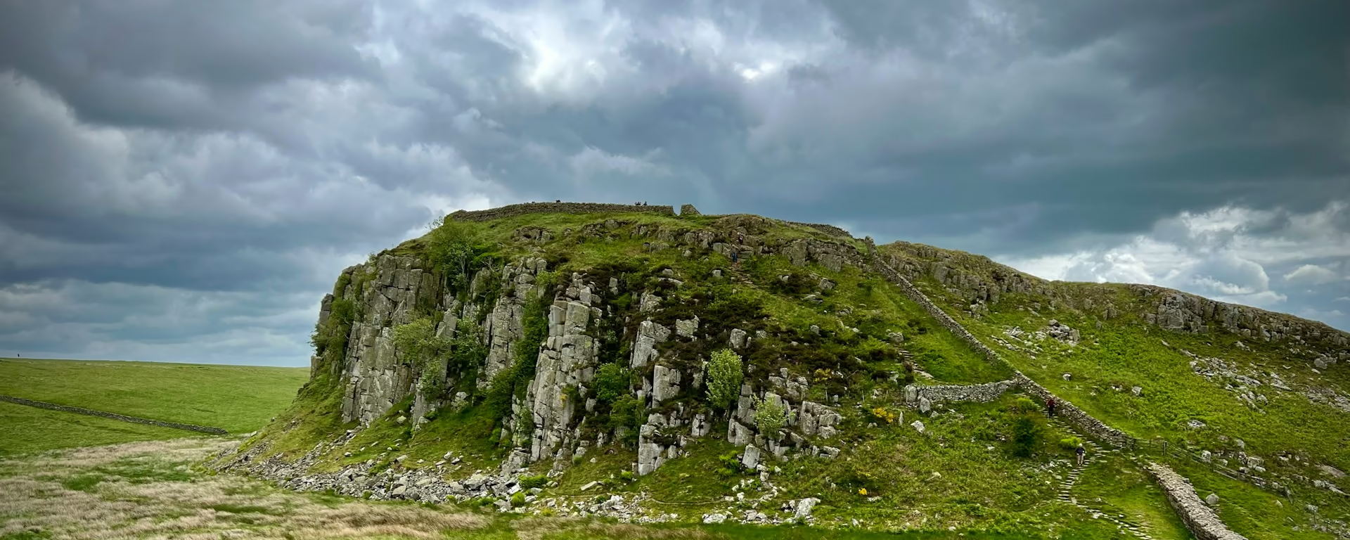
Hadrian's Wall Path is the only coast-to-coast National Trail that follows a UNESCO World Heritage Site. It runs 84 miles (135 km) from Wallsend, on the Tyne, to Bowness-on-Solway, on the estuary, along the line of the Wall.
The walk passes the Roman forts of Segedunum, Chesters, Housesteads and Birdoswald, the Whin Sill, and the Solway salt marshes. Between Easter and the end of October you can collect seven passport stamps, then a badge and a certificate.
Hadrian's Wall Path route map
The full Hadrian's Wall Path from Wallsend to Bowness-on-Solway. Tap any day to open that itinerary in the planner and see overnight stops along the way. The panel below the map shows the elevation profile.
How hard is Hadrian's Wall Path?
A reasonably fit walker can do it. The trail's home page calls the route relatively easy. The trail information page, on the same site, says it is not an easy walk and harder than many people imagine.
The hard ground is Chollerford to Birdoswald, 23 miles (37 km): a switchback of short climbs, with little shade. Most of the path is grass. The Tyne stretch is pavement, and the Military Road keeps the B6318 alongside. The route is signed with the acorn. The central section can have no phone signal. Our plans run from 5 to 10 walking days, and 7 is the one for a first full walk. An experienced walker is told to allow 6 or 7 days, with time for the forts.
Hadrian's Wall Path itineraries and official sections
Pick a day count and the 5–10 day splits show where you would sleep each night, or read the route as the official town-to-town sections.
When is the best time to walk it?
- January, winter
- February, winter
- March, winter
- April, good
- May, best
- June, best
- July, fair
- August, fair
- September, best
- October, good
- November, winter
- December, winter
Best months: May, June, and September
The best walking is May to October, when the ground is drier. May, June and September are the first-timer months: inside that window, and clear of the school holidays.
July and August are the busy weeks, from the end of July through August. Beds near the trail fill, and a weekday start is easier to book than a weekend. The passport runs from Easter to the end of October. Bags move from late March to mid-October.
The path is open all year. On the northern England record, May has about 10 rain days and November about 15. Carry waterproofs in any month. A high tide can flood the Solway whatever the month.
Rain days each month:
- January, 14 rain days
- February, 12 rain days
- March, 11 rain days
- April, 11 rain days
- May, 10 rain days
- June, 11 rain days
- July, 12 rain days
- August, 12 rain days
- September, 11 rain days
- October, 14 rain days
- November, 15 rain days
- December, 14 rain days
Driest: May — still 10 rain days.
Northern England averages, 1991 to 2020. This is the record, not a forecast for the Wall.
How do I get there and back?
Wallsend is a 10 minute Metro ride from Newcastle station. Bus and Metro also link Newcastle Airport and the ferry port to the start at Segedunum. Newcastle has inter-city trains.
Bowness-on-Solway has no car park. Carlisle has the trains. The 93 bus runs from Carlisle to the village Monday to Saturday on the operator sheet opened on 18 October 2026, and the 09:00 on that sheet does not stop in the village. A Sunday finish needs a taxi from Carlisle. The AD122 bus serves the wall from the Tyne Valley, and the trail information page says it currently runs daily.
Frequently asked questions
The walk
How long does Hadrian's Wall Path take?
Our plans run from 5 to 10 walking days, and we suggest 7 for a first full walk. The trail body tells an experienced walker to allow 6 or 7 days, with extra time for the Roman sites.
Which direction should I walk?
East to west, Wallsend to Bowness-on-Solway, is how the official guidebook is written, and how most people walk it. You finish on the Solway. West to east puts the weather behind you and finishes in Newcastle, which some people find easier for the train home. Both directions are signed. Our plans run either way.
Getting set
Do I need to book accommodation in advance?
Yes. Beds close to the trail fill quickly, and a weekday start is easier to book than a weekend. July and August are the busy weeks. Book before you travel.
Can I get my bag transferred?
Yes. Bags move in either direction from late March to mid-October. A bag a day is usually £10–25. A stay with nobody there to take the bag in can be refused. Prices and the season change, so check when you book.
The walk
Can the tide flood the path?
Yes, it can. Between Dykesfield and Drumburgh, and between Port Carlisle and Bowness-on-Solway, a Silloth tide of 9 metres or more can cover the path. Add one hour to the Silloth time in winter and two hours in summer, and stay clear for an hour either side. Check before you leave Carlisle.
This site & app
Is this the official Hadrian's Wall Path website?
No. This site helps you plan days, stays, and a GPX. For trail notices, diversions, and official advice, use the Hadrian's Wall Path pages on National Trails. Hadrian's Wall Path on National Trails
Do I need an account?
No. A Hadrian's Wall Path plan opens without an account. Add an email only when you want the edit link on another phone. Downloading a GPX does not need email.
Can I download a GPX of Hadrian's Wall Path?
Yes. Open a plan and export the whole trip or one file per day, for Garmin, Komoot, or your phone. Each section page also has a GPX of that section's line.
Plan your Hadrian's Wall Path
Choose your dates and pace, adjust overnight stops on the map, then export GPX files built around your route.
Explore


