
- On trail 12.2 mi 19.6 km
- Walking time 6–7 h
- Ascent 680 m 2,250 ft
- Descent 460 m 1,500 ft
- Difficulty Hard
Higher pasture, then Housesteads and the switchback to the Steel Rigg car park.
Section 3: Chollerford to Steel Rigg map
Example stay Vallum Lodge Hotel, Once Brewed (opens in a new tab)
Cross-check: National Trails route description . The walk follows that page, opened 18 October 2026. Miles named in the questions are the GOV.UK visit page of the same day. Distances on this page are measured between these ends.
The walk
The landscape changes after Chollerford. Higher, wilder pasture, wide views, and the Vallum and the north ditch easy to see. From wall-mile 35 the switchback comes into view. The route description says to take your time, because it is tougher than it looks, with little protection from the sun on a fine day and, if you are lucky, the smell of wild thyme. Housesteads stands on the escarpment. Steel Rigg is the car park on the line. The beds are at Once Brewed, a short walk off the path, which is why the plans sleep there and this section ends here.
-
Start of section
Chollerford
-
The Vallum and the ditch
Once the fields of the Military Road are behind you, the Vallum and the north ditch are the earthworks the route description says you cannot miss. The pasture is higher and less improved.
-
Housesteads
The visit page says the trail passes the Roman fort at Housesteads, Vercovicium, where the Wall runs along the edge of the crags. Leave time. It sits on the escarpment above the switchback.
-
The switchback
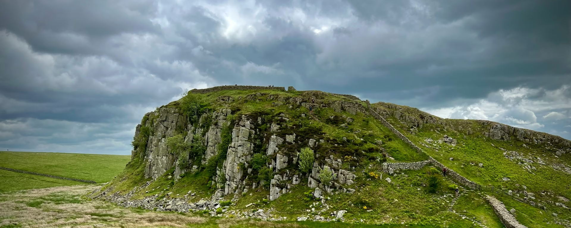
From wall-mile 35 the classic picture of the Wall comes into view. Tougher than it looks, thin of shade on a fine day, and the stretch the route description tells you not to rush.
-
End of section
Steel Rigg
Section 3: Chollerford to Steel Rigg overview
The ground
- Pasture
- Crags
- Switchback
- Little shade
The switchback. Short climbs, little shade, and the classic crags. The visit page calls Chollerford to Birdoswald, 23 miles (37 km), the switchback section. Birdoswald is on the next section, past Gilsland, so the hard ground continues after Steel Rigg. Windshields, the highest point, is on that next section too.
Stops
Refreshments
- Carry food and water
Toilets
- No source used for this section names a public toilet
Before you go
Opposite direction
Steel Rigg to Chollerford
From the Steel Rigg car park the switchback and Housesteads come first, then the pasture eases down toward Chesters and Chollerford. The climb is at the start of the day rather than at the end.
End of section
Chollerford
Chollerford to Steel Rigg FAQ
How long is Chollerford to Steel Rigg?
This page measures 12.2 mi (19.6 km). The GOV.UK visit page lists 12 miles (19 km). The 7-day plan sleeps at Once Brewed, just off the path, and that day measures 12.0 mi (19.3 km) to the hamlet.
Can I stay at Steel Rigg?
Steel Rigg is the car park on the Wall. The plans sleep at Once Brewed, a short walk off the path. The 10-day plan stops earlier, at Grindon, so this ground is two shorter days.
Walk this as a day
Day 3 on the 7-day finishes at Once Brewed, a short walk off the path from Steel Rigg. Open the planner on that preset, then export a full-trip or per-day GPX.
Open in planner Read the 7-day itinerary
Full-trip and per-day GPX files. Free, no account.
Explore


