
- On trail 16.4 mi 26.4 km
- Walking time 7–8 h
- Ascent 650 m 2,150 ft
- Descent 850 m 2,800 ft
- Difficulty Moderate
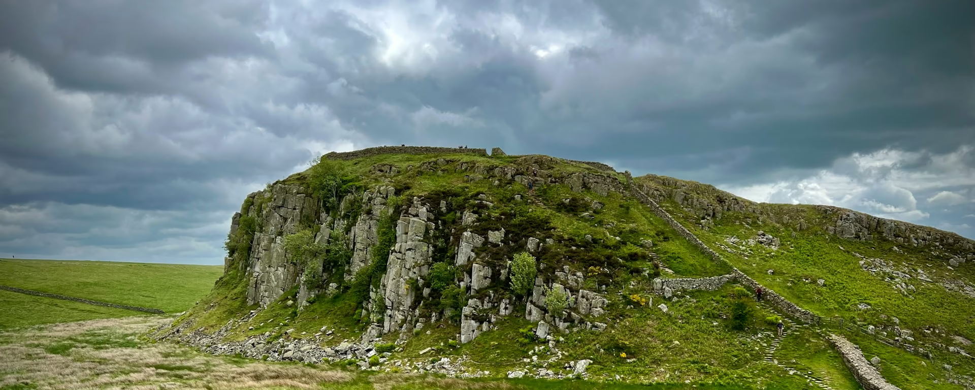
Windshields Crags, a view to the Solway, then the last standing Wall at Hare Hill.
Section 4: Steel Rigg to Walton map
Example stay Dacre House, Gilsland (opens in a new tab)
Cross-check: National Trails route description . The walk follows that page, opened 18 October 2026. Miles named in the questions are the GOV.UK visit page of the same day. Distances on this page are measured between these ends.
The walk
The Whin Sill reaches its highest point at Windshields Crags, 1,131 ft (345 m). The route description says the height does not match the feel: upland Britain, with very little between you and the north. At Walltown, about halfway along the whole trail, a clear day shows southern Scotland, the north Pennines, and Bowness-on-Solway, the finish. Greenhead and Gilsland are the places to eat. A new footbridge at Willowford is weathering steel, the same material as the Angel of the North. Hare Hill, before Walton, is the last standing Wall when you walk west. Savour it. Walton is the official end. The plans sleep at Gilsland, or turn off for Brampton.
-
Start of section
Steel Rigg
-
Windshields Crags
The highest point of the Whin Sill, 1,131 ft (345 m). The route description spells it Windshields. The visit page spells it Windshield. Either way it is the top of this trail, and it feels higher than the number.
-
Walltown and the Willowford bridge
From Walltown a clear day shows Scotland, the Pennines and Bowness-on-Solway. The footbridge at Willowford is new, in weathering steel, which the route description sets next to the Angel of the North.
-
Birdoswald and Hare Hill
Birdoswald, close to Gilsland, is one of the best preserved of the 16 forts, on the visit page's account. Hare Hill, further west, is the last standing Wall when you walk toward Walton.
-
End of section
Walton
Section 4: Steel Rigg to Walton overview
The ground
- Whin Sill
- Windshields
- Standing Wall
- Villages
The high crags, then a long easing toward the last standing stone. The switchback began on the previous section and the visit page carries it on to Birdoswald, which is just west of Gilsland. After Hare Hill the masonry runs out. The next section is the humps and bumps into Carlisle.
Stops
Refreshments
- Greenhead
- Gilsland
Toilets
- No source used for this section names a public toilet
Before you go
Opposite direction
Walton to Steel Rigg
From Walton, Hare Hill is where the standing Wall begins. Gilsland and Greenhead come next, with food, then Walltown's view and the climb to Windshields. Steel Rigg, the car park, is the finish, with Once Brewed just off the path.
End of section
Steel Rigg
Steel Rigg to Walton FAQ
How long is Steel Rigg to Walton?
This page measures 16.4 mi (26.4 km). The GOV.UK visit page lists 16.25 miles (26 km). The plans break it: Once Brewed or Gilsland for the night, and Brampton on the longer counts. Walton itself is the section end.
Where does the Pennine Way meet this trail?
Near Greenhead, on the visit page's account of this section. The two trails share the ground for a while. Food in Greenhead and Gilsland is the practical stop either way.
Walk this as a day
The 7-day sleeps at Gilsland, then turns off for Brampton, and passes Walton on the way. Open the planner on that preset, then export a full-trip or per-day GPX.
Open in planner Read the 7-day itinerary
Full-trip and per-day GPX files. Free, no account.
Explore


