- Distance 86.4 mi 139 km
- Duration 6–8 days
- Ascent 1,940 m 6,350 ft
- Descent 1,880 m 6,150 ft
- Difficulty Moderate
What is the Ridgeway?
People have walked this chalk ridge for at least 5,000 years, and it is known as Britain's oldest road. The National Trail runs 87 miles (139 km) from Overton Hill near Avebury to Ivinghoe Beacon. Most people take about a week.
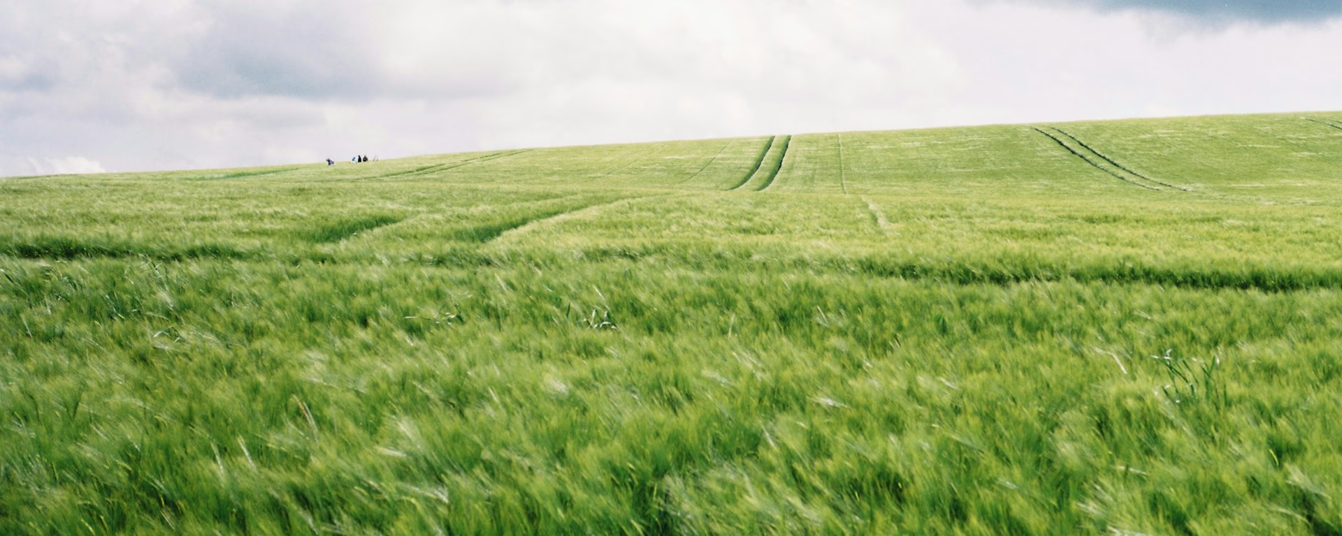
The western half follows the crest of the downs, a broad chalk track under a huge sky, rutted in places and with few villages close by. Barbury Castle's ramparts come on the first day. Further on are Wayland's Smithy, a long barrow guarded by sarsens, and the White Horse cut into the hill above Woolstone.
At Goring the path meets the Thames and follows it through water meadows. The last days climb through the beech woods and sunken holloways of the Chiltern Hills. Coombe Hill looks down on Chequers, and the walk ends on the open turf of Ivinghoe Beacon.
The Ridgeway route map
The full The Ridgeway from Overton Hill to Ivinghoe Beacon. Tap any day to open that itinerary in the planner and see overnight stops along the way. The panel below the map shows the elevation profile.
How hard is the Ridgeway?
A good first long walk with your bags moved for you, as long as you are ready for long, dry days. None of it is technical, and the trail body calls the climbs gentle. The hard part is the ground: chalk tires the feet, and byways on the downs are rutted by vehicles and soft after rain.
Two stretches stand out. Ogbourne St George to Sparsholt Firs is the most remote section, with little water and nowhere to stop. Watlington to Wendover is the most undulating, with a steep climb to Whiteleaf Hill.
Beds on the downs mostly sit below the ridge, so each day starts and ends with a walk to the path. Signs are reliable, with the acorn and the trail's name on stiles, gates and signposts. Phone coverage is not guaranteed, so carry a map and tell someone your plans if you walk alone.
The Ridgeway itineraries and official sections
Pick a day count and the 6–8 day splits show where you would sleep each night, or read the route as the official town-to-town sections.
When is the best time to walk the Ridgeway?
- January, winter
- February, winter
- March, fair
- April, good
- May, best
- June, best
- July, best
- August, best
- September, best
- October, good
- November, fair
- December, winter
Best months: May, June, July, August, and September
The trail is open all year, but the trail body says surfaces are better from May to November. For a first walk we suggest May, June, July, August or September.
Early May brings bluebells to the Chiltern beech woods, and chalk grassland flowers and orchids bloom from June to August. In high summer the open downs get hot, so carry more water than you think. November brings autumn colour to the beech woods. Beds are limited in places at any time of year, so book ahead.
Southern England averages 9 or 10 wet days a month from March to September. From October to January it is 12 or 13, and the byways turn to mud.
Rain days each month:
- January, 13 rain days
- February, 11 rain days
- March, 10 rain days
- April, 10 rain days
- May, 9 rain days
- June, 9 rain days
- July, 10 rain days
- August, 10 rain days
- September, 10 rain days
- October, 12 rain days
- November, 13 rain days
- December, 13 rain days
Driest: May and June — still 9 rain days.
Southern England averages, 1991 to 2020. The open downs take the weather head on.
How do I get there and back?
The western end has no station nearby. A direct bus runs from Swindon to Avebury, about a mile (2 km) from the start at Overton Hill.
At the other end, the 61 bus from Aylesbury stops below Ivinghoe Beacon, and Tring station is about 3.5 miles (5.6 km) back along the trail. Along the way, trains stop at Goring & Streatley, Princes Risborough and Wendover. Some buses run on weekdays only, so check times before you go.
Frequently asked questions
The walk
How long does the Ridgeway take?
About a week. The trail body says six days, at about 15 miles (24 km) a day, and six is our recommended plan. Our plans run from 6 to 8 walking days. The 7- and 8-day sleep at Aldbury the night before the end, so the last day is a short morning to the Beacon.
Which direction should I walk?
West to east, from Overton Hill to Ivinghoe Beacon, is the usual way. The prevailing wind is from the south-west, so it is usually behind you, and the official guide starts at Overton Hill. The trail body names no best direction, and the planner reverses the plans if you would rather start at the Beacon.
Is there water on the trail?
Not much on the downs, so carry it. The trail body warns that some sections have limited access to water. A water point between Letcombe Regis and Streatley had been capped off by June 2025. Fill up at each night's bed, and take more in summer.
Getting set
Do I need to book accommodation in advance?
Yes. The trail body says beds are limited in some areas. On the downs there are few near Liddington, Woolstone and Letcombe Regis, so book those nights first. Goring has the most choice.
Can I get my bag transferred?
Yes. Several companies move bags between your beds, and a bag a day is usually £10 to £25. Check the season for your dates, and give them the exact address of each bed.
This site & app
Is this the official Ridgeway website?
No. This site helps you plan days, stays and a GPX. For diversions, trail notices and official advice, use the Ridgeway pages on National Trails. The Ridgeway on National Trails
Do I need an account?
No. Open a Ridgeway plan and change your stops straight away. An email is only needed if you want a link to carry on editing on another device, and the GPX downloads without one.
Can I download a GPX of the Ridgeway?
Yes. Open a plan and export the whole trip, or one file per day, for your phone or watch. Each section page also has a GPX of that stretch. Where a diversion is signed on the ground, such as near Wendover, follow the signs.
Plan your The Ridgeway
Choose your dates and pace, adjust overnight stops on the map, then export GPX files built around your route.
Explore


