- On trail 11.5 mi 18.5 km
- Walking time 5–6 h
- Ascent 370 m 1,200 ft
- Descent 270 m 900 ft
- Difficulty Easy
The most wooded section, and the climb to the end.
Section 6: Wendover to Ivinghoe Beacon map
Example stay The Ridgeway Finish
Cross-check: National Trails route description . Opened 31 October 2026. The distance at the top of this page is measured between these ends. The route page's miles stay in the answers below.
The walk
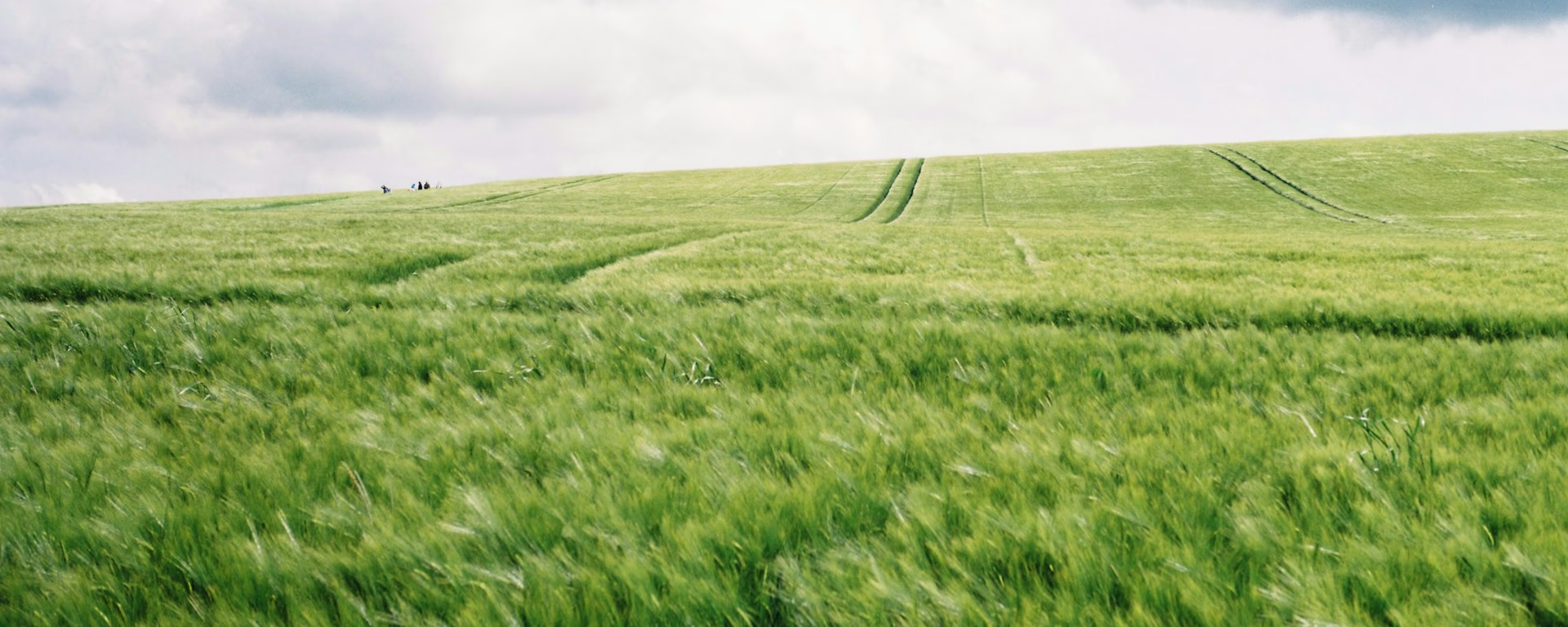
The Ridgeway ends on Ivinghoe Beacon, with views far over the Buckinghamshire plain. The last miles are the most wooded on the trail. Bacombe Hill looks back over Wendover, then sunken holloways lead deep into the trees. Past the canal near Tring station, the path climbs through Aldbury Nowers onto the springy turf of Pitstone Hill for the final climb.
-
Start of section
Wendover
-
Woods
Holloways
Sunken tracks worn deep into the hillside in the woods beyond Wendover, a shady change from the open chalk.
-
Open turf
Pitstone Hill
The woods of Aldbury Nowers give way to springy open turf, with Ivinghoe Beacon in view ahead for the last climb.
-
The finish
Ivinghoe Beacon
The end of the Ridgeway, on the National Trust's Ashridge Estate. Walkers who finish all 87 miles can join the trail's Hall of Fame.
-
Official finish
Ivinghoe Beacon
Section 6: Wendover to Ivinghoe Beacon overview
The ground
- Woodland
- Holloways
- Open turf
Woodland tracks, then open turf and a last climb. One of the shorter sections, and a gentle finish after the hills before Wendover.
Stops
Refreshments
- Wendover
Toilets
- The route page does not name a public toilet on this section
Before you go
Opposite direction
Ivinghoe Beacon to Wendover
Walked from the Beacon, the 61 bus from Aylesbury drops you at the start. Pitstone Hill leads down into the woods and holloways, and Bacombe Hill gives the first view of Wendover and its station.
End of section
Wendover
Wendover to Ivinghoe Beacon FAQ
How long is Wendover to Ivinghoe Beacon?
The route page lists 11.8 miles (18.8 km). The distance at the top of this page is measured between these ends.
How do I get home from the Beacon?
Take the 61 bus to Aylesbury from below the hill, or walk about 3.5 miles (5.6 km) back to Tring station. Our 7- and 8-day plans sleep at Aldbury the night before, which makes the last day a short morning.
Can I download a GPX for Wendover to Ivinghoe Beacon?
Yes. Use the GPX button at the top of this page. It is this section's line, for Garmin, Komoot, or your phone. Open the planner if you want a file built around your overnight stops.
Walk this as a day
Used as Day 6 on the 6-day. Open the planner on that preset, then export a full-trip or per-day GPX.
Open in planner Read the 6-day itinerary
Full-trip and per-day GPX files. Free, no account.
Explore


