- On trail 9.5 mi 15.3 km
- Walking time 4–5 h
- Ascent 180 m 600 ft
- Descent 180 m 600 ft
- Difficulty Easy
Onto Britain's oldest road, among barrows and sarsen stones.
Section 1: Overton Hill to Ogbourne St George map
Example stay The Sanctuary (opens in a new tab)
Cross-check: National Trails route description . Opened 31 October 2026. The distance at the top of this page is measured between these ends. The route page's miles stay in the answers below.
The walk
Britain's oldest road begins among Bronze Age round barrows by the A4, a mile from Avebury's world famous stone circle. Sarsen stones lie scattered in the fields as the track climbs gently over the chalk. Barbury Castle's ramparts sit on the skyline ahead. From the fort, Smeathe's Ridge runs down to the thatched village of Ogbourne St George.
-
Official start
Overton Hill
-
The start
Overton Down
Bronze Age round barrows, some crowned with Victorian beech clumps, and grey sarsen stones scattered through the fields beside the track.
-
The view
Barbury Castle
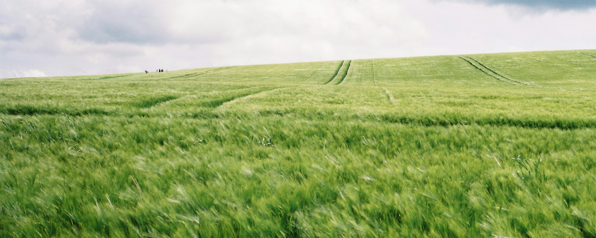
The trail body's "striking Iron Age hill fort", with its ramparts on the crest of the downs. Red kites, skylarks and hares were about on one walker's day here.
-
Smeathe's Ridge
A gentle, wide ridge walk with views across the vales on both sides, before the drop to Ogbourne St George.
-
End of section
Ogbourne St George
Section 1: Overton Hill to Ogbourne St George overview
The ground
- Chalk downs
- Byway
- Ridge
A gentle introduction on broad chalk tracks, with one rutted stretch. The shortest section and one of the easiest. The next one, to Sparsholt Firs, is the most remote.
Stops
Refreshments
- Ogbourne St George (two pubs)
Toilets
- The route page does not name a public toilet on this section
Before you go
Opposite direction
Ogbourne St George to Overton Hill
Walked from Ogbourne St George, this is the last day, and Smeathe's Ridge is the climb. The ruts after Hackpen Hill slow the end, so allow time. Avebury's stone circle is a mile on from the barrows by the A4 for a finish among the stones.
Official finish
Overton Hill
Overton Hill to Ogbourne St George FAQ
How long is Overton Hill to Ogbourne St George?
The route page lists 9.3 miles (14.8 km). The distance at the top of this page is measured between these ends.
How do I get to the start?
There is no station at the western end. A direct bus runs from Swindon to Avebury, about a mile from the start at Overton Hill.
Can I download a GPX for Overton Hill to Ogbourne St George?
Yes. Use the GPX button at the top of this page. It is this section's line, for Garmin, Komoot, or your phone. Open the planner if you want a file built around your overnight stops.
Walk this as a day
Day 1 of the 8-day; the 6- and 7-day walk on to Liddington. Open the planner on that preset, then export a full-trip or per-day GPX.
Open in planner Read the 8-day itinerary
Full-trip and per-day GPX files. Free, no account.
Explore


