- Distance 96.3 mi 155 km
- Duration 6–9 days
- Difficulty Moderate
What is the Snowdonia Way?
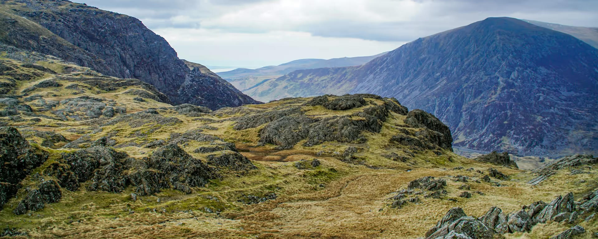
Cadair Idris, Yr Wyddfa and the Carneddau stand beside the path, and you walk the valleys rather than the summits. The Snowdonia Way runs 96.3 miles (155 km) from Machynlleth to Conwy, a low-level route through Eryri. The highest point is a wooded shoulder just over 400 m, on the first day.
The early miles are forest track through slate villages, and Cadair Idris fills the view from that shoulder. A narrow path then clings above the Mawddach, with the woods dropping away, before the wide tracks of Coed y Brenin.
The Pass of Aberglaslyn is a rock shelf above the river, and wet stone there is slow. Beyond it the Ogwen valley runs under Tryfan, and Aber Falls drops through a rock cleft. The last miles come down to Conwy with the castle ahead, on a path with no waymarks.
Snowdonia Way route map
The full Snowdonia Way from Machynlleth to Conwy. Tap any day to open that itinerary in the planner and see overnight stops along the way. The panel below the map shows the elevation profile.
How hard is the Snowdonia Way?
We rate the Snowdonia Way moderate. The ground is forest track, hillside and valley floor. The slow place is the Pass of Aberglaslyn, a narrow shelf that gets worse when the rock is wet.
A usual day sits between 9.3 miles (14.9 km) and 19.0 miles (30.5 km). Walked in one go, Bethesda to Conwy is 20.6 miles (33.1 km), two climbs with Aber Falls between them. A night in Llanfairfechan breaks those climbs apart, which is kinder on a first long walk, as long as someone can navigate.
In low cloud the path is easy to lose, even on the valley floor. Carry a map from the first junction out of Machynlleth. A wrong turn stays wrong until the map shows it.
Snowdonia Way itineraries and official sections
Pick a day count and the 6–9 day splits show where you would sleep each night, or read the route as the official town-to-town sections.
When is the best time to walk it?
- January, winter
- February, winter
- March, winter
- April, fair
- May, good
- June, best
- July, best
- August, best
- September, good
- October, fair
- November, winter
- December, winter
Best months: June, July, and August
June, July and August are the months to aim for. Light lasts long enough to take Aber Falls slowly and still cross the moor toward Conwy. Book the smaller villages before you travel. May and September are a strong time too, on the same hills.
April and October are still fair walking, with shorter days, and you may have to carry your own bag. From November through March it is still a walk, but the daylight is short, so seven or eight days is the safer shape.
Rain comes on about 12 days in May and June, and on about 18 in November and December. The hills of Eryri are wetter than the Welsh lowlands, so waterproofs belong in the pack every month.
Rain days each month:
- January, 17 rain days
- February, 14 rain days
- March, 14 rain days
- April, 13 rain days
- May, 12 rain days
- June, 12 rain days
- July, 13 rain days
- August, 14 rain days
- September, 13 rain days
- October, 16 rain days
- November, 18 rain days
- December, 18 rain days
Driest: May and June — still 12 rain days.
A lowland average for the whole of Wales. The Eryri hills are wetter.
How do I get there and back?
Machynlleth station is in the town. Direct trains run from Birmingham New Street, and from Manchester Piccadilly with a change at Shrewsbury. The clock tower stands in the street where the walk begins.
Conwy has trains toward Liverpool, Manchester and Birmingham. The platform is short and trains sometimes cannot stop, so many people board at Llandudno Junction instead.
A bus between the villages can run on only a few days a week, and missing it leaves you in the wrong valley. Trust the train into Machynlleth, and the one onward from Llandudno Junction.
Frequently asked questions
The walk
How long does the Snowdonia Way take?
Give it a week so the two climbs into Conwy fall on separate mornings, which suits a first long walk. The route is published as 97 miles. Along the path it is 96.3 miles (155 km).
Which direction should I walk?
Walk from Machynlleth to Conwy so the castle is in front of you at the finish, with the mountains arriving one valley at a time. Starting under the castle puts the moor and Aber Falls on the early days, and the forest descent into Machynlleth on the last.
Getting set
Do I need to book accommodation in advance?
Book the smaller villages before you travel in summer. Beddgelert goes first, especially on weekends, then Trawsfynydd, Dolwyddelan and Bethesda. Machynlleth and Dolgellau are easier to find, and Conwy is a town you can leave on the afternoon you arrive.
Can I get my bag transferred?
A bag can be moved to each night's bed from May to mid-September. A bag a day is usually £10–25. Outside those months, plan to carry it, because no service publishes a winter run.
The walk
Is the footbridge at Llyn Trawsfynydd open?
It has been shut since about 2022. The way out of Trawsfynydd follows the road, with a short stretch beside the A470. The night in the village does not move.
Getting set
Can I wild camp on the Snowdonia Way?
Wild camping is not a general right in Wales, so sleep in a bed or on a site.
This site & app
Is this the official Snowdonia Way website?
This site is for planning days, stays and a GPX. For the route description, use the trail's own route page. Snowdonia Way route description
Plan your Snowdonia Way
Choose your dates and pace, adjust overnight stops on the map, then export GPX files built around your route.
Explore


