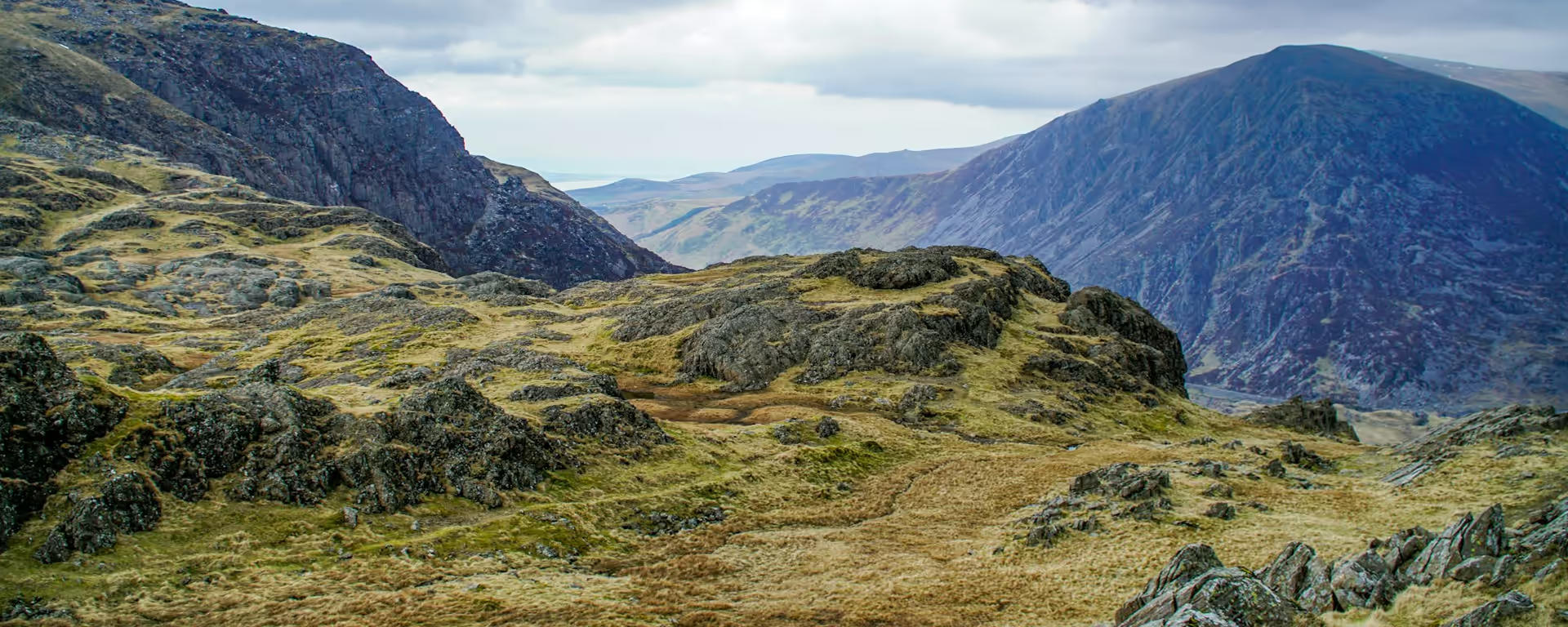
Two lakes under Yr Wyddfa, a bare pass, then a castle over the fields.
Section 4: Beddgelert to Dolwyddelan map
Example stay Elen's Castle Hotel and Restaurant (opens in a new tab)
Cross-check: Snowdonia Way route description . Opened 3 November 2026. The route page gives each stage's published miles in the FAQ. The distance at the top of this page is measured along the trail between these towns. A walk off the path to a bed is extra.
The walk
The river keeps you company out of Beddgelert, with Dinas Emrys on the bank and Yr Wyddfa filling the valley. Llyn Dinas and then Llyn Glaslyn are the easy part of the morning. The climb to Bwlch y Rhediad changes the ground to bare hill, and the path thins out. You drop through fields into the Lledr valley, and Dolwyddelan Castle over those fields tells you the village is near.
-
Start of section
Beddgelert
-
Dinas Emrys and the lakes
The morning follows the river, Dinas Emrys on the bank and Yr Wyddfa ahead. Llyn Dinas comes before Llyn Glaslyn, and both are easy walking.
-
The climb
Bwlch y Rhediad
The pass leaves the river behind. The far side is bare hill, and the path thins, with no water to follow until the valley.
-
Dolwyddelan Castle
You see it over the fields on the drop into the Lledr valley, and the village is just beyond. Moel Siabod shows for the first time here.
-
End of section
Dolwyddelan
Section 4: Beddgelert to Dolwyddelan overview
The ground
- Riverside
- Lakes
- Open hill
Riverside and lakes, one pass, then fields. Shorter than the sections on either side. The pass is still a climb, and the morning by the lakes is the easy walking.
Stops
Refreshments
- Beddgelert
- Dolwyddelan
Toilets
- None named for this stretch
Before you go
Opposite direction
Dolwyddelan to Beddgelert
Southbound, you climb bare hill while your legs are fresh, and the path stays thin until Bwlch y Rhediad. Over the pass the river comes back and the walking eases. The lakes then carry you into Beddgelert with Yr Wyddfa ahead.
End of section
Beddgelert
Beddgelert to Dolwyddelan FAQ
How long is Beddgelert to Dolwyddelan?
The lakes pass quickly, and the time sits in the bare climb to Bwlch y Rhediad. It is published at 12.7 miles (20.6 km).
Is Dolwyddelan Castle on the path?
You see it over the fields as you drop into the Lledr valley, and the village is just beyond. It is a landmark on the way down, not a summit to add.
Where should I stay in Dolwyddelan?
The village is a smaller stage end, so arrange the night early in summer. Every published plan stops here, under Moel Siabod.
Walk this as a day
Used as Day 4 on the 7-day. Open the planner on that preset, then export a full-trip or per-day GPX.
Open in planner Read the 7-day itinerary
Full-trip and per-day GPX files. Free, no account.
Explore


