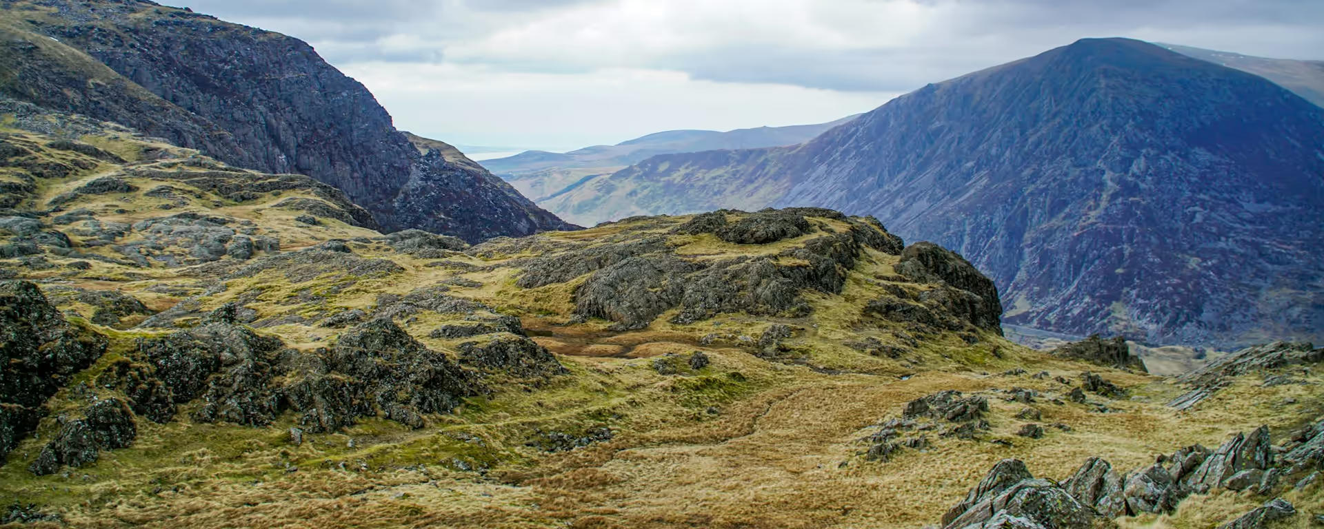
A narrow path above the Mawddach, then the wide tracks of Coed y Brenin.
Section 2: Dolgellau to Trawsfynydd map
Example stay Llety Glyndwr - Bunkhouse
Cross-check: Snowdonia Way route description . Opened 3 November 2026. The route page gives each stage's published miles in the FAQ. The distance at the top of this page is measured along the trail between these towns. A walk off the path to a bed is extra.
The walk
The climb starts in the street, and the view back takes in the town and the northern cliffs of Cadair Idris. A narrow path then clings above the Mawddach, with the woods dropping away under you. Coed y Brenin is the middle of the day, on wide forest tracks where the stride eases. Beyond the trees the ground opens, the Moelwyns ahead, and you drop to the village beside the reservoir.
-
Start of section
Dolgellau
-
Take care
Above the Mawddach
The path clings to the slope above the river and the woods, and it is narrow enough to lose. The town and the northern cliffs of Cadair Idris sit behind you.
-
Coed y Brenin
Wide forest tracks through the middle of the day, after the clinging path. The stride eases here, and you can look up.
-
The moor above the lake
Beyond the forest the ground opens, with the Moelwyns ahead and the Rhinogydd off to the side. The last hour drops to the village beside the reservoir.
-
End of section
Trawsfynydd
Section 2: Dolgellau to Trawsfynydd overview
The ground
- Hillside
- Forest track
- Moor
A steep exit, a clinging path, then forest track and open moor. The narrow hillside out of Dolgellau is the awkward ground. Aberglaslyn, on a later section, is the rock that needs more care.
Stops
Refreshments
- Dolgellau
- Trawsfynydd
Toilets
- None named for this stretch
Before you go
Opposite direction
Trawsfynydd to Dolgellau
From Trawsfynydd the wide tracks of Coed y Brenin come while your legs are fresh. The path above the Mawddach is a descent this way, and it is still easy to miss. Dolgellau sits under the cliffs of Cadair Idris at the bottom of the woods.
End of section
Dolgellau
Dolgellau to Trawsfynydd FAQ
How long is Dolgellau to Trawsfynydd?
You lose time on the narrow path above the Mawddach and get it back on the forest tracks. It is published at 14 miles (22.6 km).
Where do people lose the path?
On the narrow hillside just out of Dolgellau, above the Mawddach. Keep the map in hand there. The forest tracks after that are much easier to follow.
Where should I stay in Trawsfynydd?
The village is a smaller stage end, so arrange the night before the summer rush. Every published plan stops here, beside the reservoir.
Walk this as a day
Used as Day 2 on the 7-day. Open the planner on that preset, then export a full-trip or per-day GPX.
Open in planner Read the 7-day itinerary
Full-trip and per-day GPX files. Free, no account.
Explore


