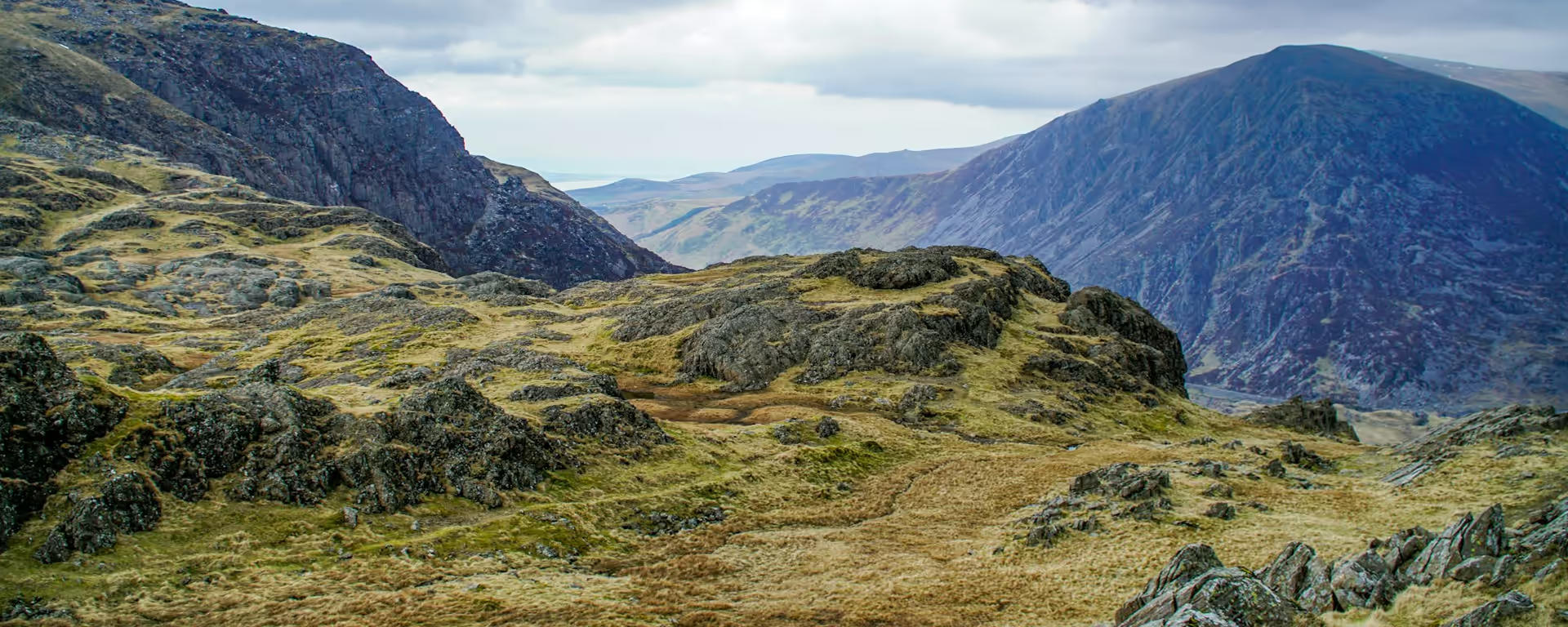
Aber Falls in a rock cleft, then the moor of Tal y Fan down to the castle.
Section 6: Bethesda to Conwy map
Example stay Snowdonia Way Finish
Cross-check: Snowdonia Way route description . Opened 3 November 2026. The route page gives each stage's published miles in the FAQ. The distance at the top of this page is measured along the trail between these towns. A walk off the path to a bed is extra.
The walk
The Carneddau flank is open hillside, and Anglesey shows across the water once the ground turns north. Aber Falls is the pause, a 37 m drop in a rock cleft, before the path climbs again onto a stretch of Roman road. Llanfairfechan is the coast between the two climbs. After it the moor around Tal y Fan is wide and empty, and you come down to Conwy with the castle in front of you.
-
Start of section
Bethesda
-
The pause
Aber Falls
A 37 m drop in a rock cleft, on the way down off the Carneddau toward the sea. It is worth a real stop before the Roman road begins.
-
Tal y Fan and Cefn Coch
After Llanfairfechan the path climbs past Penmaenmawr onto open moor. A stone circle stands on Cefn Coch, and the walking stays wide and empty.
-
Conwy Castle
The Sychnant Pass leads round Conwy Mountain, and the castle comes into view on the drop. The last few hundred metres run along the estuary under the town walls.
-
Official finish
Conwy
Section 6: Bethesda to Conwy overview
The ground
- Hillside
- Waterfall
- Moor
Open hillside, a waterfall, and a moor down to the castle. No other section climbs twice, or drops to the sea between the climbs. The gorge day is the other hard one, and that hardness is wet rock rather than two hills.
Stops
Refreshments
- Bethesda
- Llanfairfechan
- Conwy (shops)
Toilets
- None named for this stretch
Before you go
Opposite direction
Conwy to Bethesda
From Conwy the castle is at your back and Sychnant is the first pull, onto the empty moor around Tal y Fan. Aber Falls waits beyond Llanfairfechan, on the way back up. Bethesda is a long climb along the flank of the Carneddau.
End of section
Bethesda
Bethesda to Conwy FAQ
How long is Bethesda to Conwy?
In one piece it is two climbs with the sea between them, and the moor after Llanfairfechan is the part people cut short. The whole stage is published at 21 miles (33.6 km).
Can I split this stage at Llanfairfechan?
Yes. The author says this stage can be split with a night there. The 7-day, 8-day and 9-day do that. The 6-day keeps Bethesda to Conwy as one day.
Where do I catch a train from Conwy?
Trains run toward Liverpool, Manchester and Birmingham. The platform at Conwy is short and trains sometimes cannot stop, so many people board at Llandudno Junction instead.
Walk this as a day
Day 6 on the 6-day walks this stage in one go. The 7-day stops overnight in Llanfairfechan. Open the planner on that preset, then export a full-trip or per-day GPX.
Open in planner Read the 6-day itinerary
Full-trip and per-day GPX files. Free, no account.
Explore


