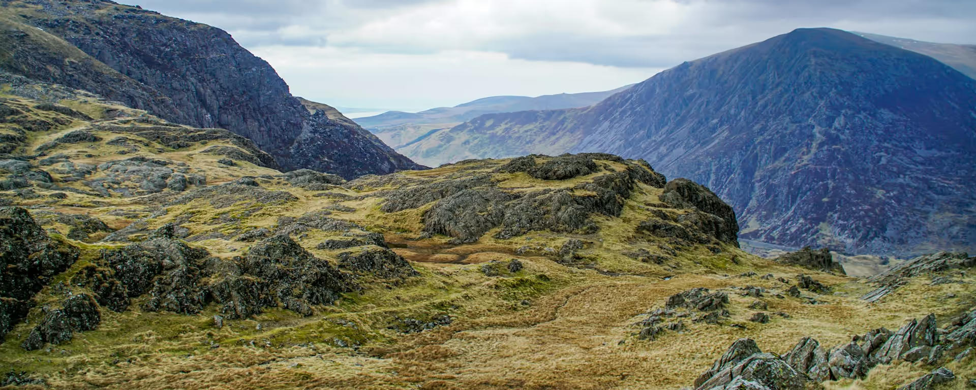
A sandy estuary, then the rock shelf of Aberglaslyn into Beddgelert.
Section 3: Trawsfynydd to Beddgelert map
Example stay Sygun Fawr Hotel (opens in a new tab)
Cross-check: Snowdonia Way route description . Opened 3 November 2026. The route page gives each stage's published miles in the FAQ. The distance at the top of this page is measured along the trail between these towns. A walk off the path to a bed is extra.
The walk
The morning is the lake and then a long vale, with the sea in front of you once the estuary opens. Penrhyndeudraeth sits on that sand, and woodland after it climbs toward the Moelwyns. Cnicht stands to the east as you pass Croesor. The day saves the Pass of Aberglaslyn for tired legs. The path there is a rock shelf with handrails above the river, and Beddgelert is a few minutes beyond the gorge.
-
Start of section
Trawsfynydd
-
The vale and the estuary
Woodland drops into the Vale of Ffestiniog, with the sea in front of you. The sandy crossing brings you into Penrhyndeudraeth.
-
Croesor and Cnicht
Forest climbs toward the Moelwyns after the estuary. Cnicht stands to the east as the path passes Croesor, before the gorge.
-
Take care
Pass of Aberglaslyn
A rock shelf with handrails, tight above the river, and the slow part when the stone is wet. Beddgelert is a few minutes past the shade.
-
End of section
Beddgelert
Section 3: Trawsfynydd to Beddgelert overview
The ground
- Estuary
- Woodland
- Rock shelf
Vale and estuary, then a rocky pass with handrails. Longer than the lakes section that follows, and the one place the path is a shelf above the river. Wet rock there is the slow part.
Stops
Refreshments
- Trawsfynydd
- Penrhyndeudraeth
- Beddgelert
Toilets
- None named for this stretch
Before you go
Opposite direction
Beddgelert to Trawsfynydd
From Beddgelert the gorge is the first hour, on the rock shelf above the river, which is the time to take wet stone slowly. The estuary opens after Croesor, wide and sandy. The lake is a long last stretch into Trawsfynydd.
End of section
Trawsfynydd
Trawsfynydd to Beddgelert FAQ
How long is Trawsfynydd to Beddgelert?
The estuary is long and the ground is kind, so keep something back for the gorge. The stage is published at 18.5 miles (29.5 km).
Is the footbridge at Llyn Trawsfynydd open?
It has been shut since about 2022. The way out of Trawsfynydd follows the road, with a short stretch beside the A470. The night in the village does not move.
Can I stop at Penrhyndeudraeth?
Yes. The 8-day and the 9-day sleep there, so the Pass of Aberglaslyn is its own morning. The 6-day and the 7-day walk through to Beddgelert. Book Beddgelert ahead in summer and at weekends.
Walk this as a day
Used as Day 3 on the 7-day. Open the planner on that preset, then export a full-trip or per-day GPX.
Open in planner Read the 7-day itinerary
Full-trip and per-day GPX files. Free, no account.
Explore


