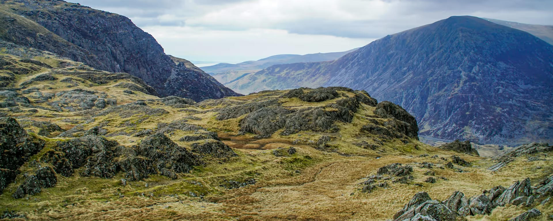
Slate villages in the forest, then Cadair Idris filling the view on your left.
Section 1: Machynlleth to Dolgellau map
Example stay Royal Ship, Dolgellau (opens in a new tab)
Cross-check: Snowdonia Way route description . Opened 3 November 2026. The route page gives each stage's published miles in the FAQ. The distance at the top of this page is measured along the trail between these towns. A walk off the path to a bed is extra.
The walk
Tracks through Dovey Forest eat the early miles out of the market town. Corris and Aberllefenni sit in the woods, old slate villages with the hills tight around them. The path then climbs the Llefenni valley and works around a wooded shoulder of Cadair Idris, which fills the view on your left. Just over 400 m, that shoulder is the highest point of the low route, and the day drops through woodland into Dolgellau.
-
Official start
Machynlleth
-
The tracks
Dovey Forest
The early miles are forest track and lane, and they go quickly. Corris and Aberllefenni are the slate villages in that woodland, hills close on both sides.
-
The high point
Cadair Idris
The path works around a wooded shoulder, and the mountain fills the view on your left. At just over 400 m you are still in the trees, on a hillside path rather than a scramble.
-
The drop into Dolgellau
After the shoulder the path drops through woodland into the town. Dolgellau is one of the easier places on the walk to find dinner and a bed.
-
End of section
Dolgellau
Section 1: Machynlleth to Dolgellau overview
The ground
- Forest track
- Slate
- Hillside
Forest tracks, then a hillside path around a wooded shoulder. You are in the trees at the highest point of the low route, just over 400 m, not on a bare ridge. Bethesda to Conwy is a bigger day, with two climbs.
Stops
Refreshments
- Machynlleth (pubs and shops)
- Dolgellau
Toilets
- None named for this stretch
Before you go
Opposite direction
Dolgellau to Machynlleth
Walking south, the long job is the forest descent after the shoulder. The ground stays in the trees for miles, with slate underfoot around Aberllefenni. The town arrives only once the woods open onto the valley floor.
Official finish
Machynlleth
Machynlleth to Dolgellau FAQ
How long is Machynlleth to Dolgellau?
The forest tracks are quick, and the shoulder of Cadair Idris is where the day slows. The stage is published at 15.5 miles (24.7 km).
How do I get to Machynlleth?
The station is in the town. Direct trains run from Birmingham New Street, and from Manchester Piccadilly with a change at Shrewsbury. The clock tower is the start in the street.
Is the path signposted?
No. There are no waymarks, and the first junction out of Machynlleth is where people lose the line. Carry a map from the start.
Walk this as a day
Used as Day 1 on the 7-day. Open the planner on that preset, then export a full-trip or per-day GPX.
Open in planner Read the 7-day itinerary
Full-trip and per-day GPX files. Free, no account.
Explore


