- Direction Fort William to Milngavie , Swap direction
- Distance 95.7 mi 154 km
- Duration 5–9 days
- Ascent 3,640 m 11,950 ft
- Descent 3,590 m 11,800 ft
- Difficulty Moderate
What is the West Highland Way in reverse?
From the foot of Britain's highest mountain to the edge of Glasgow, with Loch Lomond in between. Walked north to south, the West Highland Way runs 96 miles (154 km) from Fort William to the granite obelisk in Milngavie. It is the same waymarked path, with the Highlands at the start instead of the end.
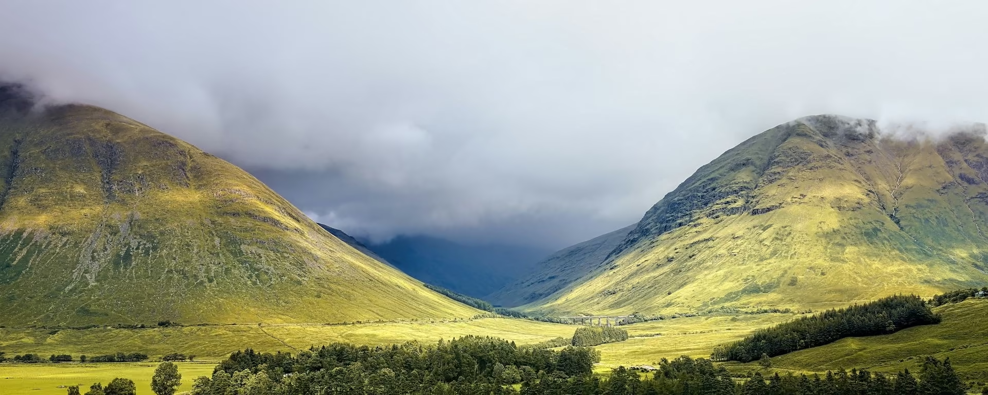
The first days are the wildest: the Lairig Mòr out of Glen Nevis and the Devil's Staircase from Kinlochleven. Then comes the open crossing of Rannoch Moor, with the Crianlarich hills ahead. From Tyndrum the glens close in, Loch Lomond opens below you from the north, and Conic Hill is the last climb before the farmland.
The train in from Glasgow is the start of the trip, past Loch Lomond and across Rannoch Moor: "truly a wonderful journey". Then you walk the same country back, from the mountains to the lowland farms. Allow seven or eight days, with a bed in a village along the path each night.
Which way should I walk?
For a first long walk, south to north is the better way. It is how most walkers go: the wind at your back, an easy start and the finish under Ben Nevis. Walking from Fort William, the south-westerly wind, the rain and the midday sun come at you, full ahead on Rannoch Moor, in Glen Falloch and along the loch.
Starting in Fort William, you get the Highlands while you are fresh, and see them even if you stop early, plus easier beds. You give up a warm-up, the finish under Ben Nevis and a quiet path. From spring to autumn you meet a steady stream of walkers heading north, a hello every few minutes, often on narrow paths.
Who it suits: walkers who know the default way and want it fresh, anyone who wants the Highlands for certain, and anyone after easier beds in spring or autumn. Think twice on a first long walk, if you need bag transfer to a fixed plan, or if a week of headwind would spoil it.
West Highland Way route map
How hard is it in reverse?
We rate it moderate either way: the same waymarked hill paths, no scrambling, and almost the same total climb as going north. The highest point is still the top of the Devil's Staircase, about 550 m (1,800 ft), now reached on the morning of day two. Waymarks are set for walkers starting in Milngavie, so watch the junctions.
The hard days come first: day one crosses the Lairig Mòr, 15 mi (24 km) with nowhere to buy food or water, and day two climbs the Staircase. The rough Loch Lomond shore comes midweek, and the last days are gentle lowland walking. On a first long-distance walk, start in Milngavie instead.
Itineraries and official sections
Pick a day count and the 5–9 day splits show where you would sleep each night, or read the route as the official town-to-town sections.
When is the best time to walk it?
- January, winter
- February, winter
- March, winter
- April, good
- May, best
- June, fair
- July, fair
- August, fair
- September, best
- October, good
- November, winter
- December, winter
Best months: May and September
May and September are the best months: long days and fewer midges than high summer. The weather mostly comes from the south-west, so in any month expect the wind and rain in your face.
April and October are the shoulder: shorter days, more weather, and a low midday sun straight ahead, so pack sunglasses and a peak. Midges are worst on still, damp evenings from June to August, and the loch, where they are thickest, now comes in the second half.
The quiet months suit the reverse: the high ground of the first three days is often white while you are fresh, the path is quiet and beds are easy to book. You need hill skills and microspikes, and you carry your own pack, as bag transfer runs spring to mid-autumn.
Rain days each month:
- January, 19 rain days
- February, 16 rain days
- March, 16 rain days
- April, 14 rain days
- May, 13 rain days
- June, 14 rain days
- July, 16 rain days
- August, 16 rain days
- September, 16 rain days
- October, 18 rain days
- November, 19 rain days
- December, 19 rain days
Driest: May — still 13 rain days.
Wetter than most of Britain, even in May.
How do I get there and back?
Start at the walker statue (on Google Maps, opens in a new tab) in Fort William. Trains and coaches from Glasgow take about four hours to Fort William station (on Google Maps, opens in a new tab), a ten-minute walk away. Sleep in Fort William the night before: the first day is long and has no shops.
Finish at the granite obelisk (on Google Maps, opens in a new tab) in Milngavie. Milngavie station (on Google Maps, opens in a new tab) is a few minutes' walk away, with trains to Glasgow Queen Street in about 25 minutes.
Neither end has parking set aside for walkers. If you drive, ask your Fort William B&B or hotel whether they will keep the car, then come back from Milngavie by train through Glasgow.
Anything else I should know?
Camping
From March to September, camping on the Loch Lomond shore needs a campsite or a permit. Elsewhere on the Way, and from October to February, ordinary Scottish wild-camping rules apply. The same shore zones restrict fires.
Dogs
From 1 April to 31 May, dogs stay off the fields below Conic Hill and follow the signed diversion. It adds no distance.
Ferry
The path does not need a ferry. A bed at Tarbet, Luss, or Ardlui means crossing the loch at the end of the day and coming back in the morning. The Luss boat is weekends only, and at Ardleish you raise the ball to call the boat.
Frequently asked questions
The walk
How long does the West Highland Way take in reverse?
The same as the default way: six to nine days for most walkers. Every plan here, from five days to nine, runs from Fort William with the same nights, ending at the obelisk in Milngavie. Seven days is the most popular.
Is the Devil's Staircase harder going up from Kinlochleven?
It is a longer climb from that side, but mostly on a good gravel track, and you take it in the morning on fresh legs. The moor beyond can be very exposed in bad weather.
Getting set
Do I need to book accommodation in advance?
Yes. Book months ahead for May to September. Starting in Fort William, you reach the busy villages on different nights from most walkers, which helps, and the planner shows which nights your plan uses.
Can I get my bag moved if I walk it in reverse?
Yes, but fewer services run north to south, bags arrive later in the day, and none go to Inversnaid. Confirm with the service before you book your beds.
This site & app
Can I download a GPX of the reverse?
Yes. The GPX button at the top of this page gives the whole trail from Fort William to Milngavie. Open a plan to export the whole trip, or one file per day, in walking order.
Trail Britain is an independent planner. For notices and route changes, use the trail's own site: westhighlandway.org (opens in a new tab).
Plan your West Highland Way
Choose your dates and pace, starting in Fort William, adjust overnight stops on the map, then export GPX files built around your route.
Explore