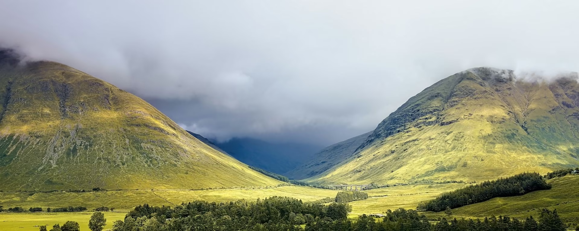
8 official sections, spread across a 5–9-day itinerary.
Official sections by distance, walking time, and ascent| Section | Distance | Time | Ascent |
|---|
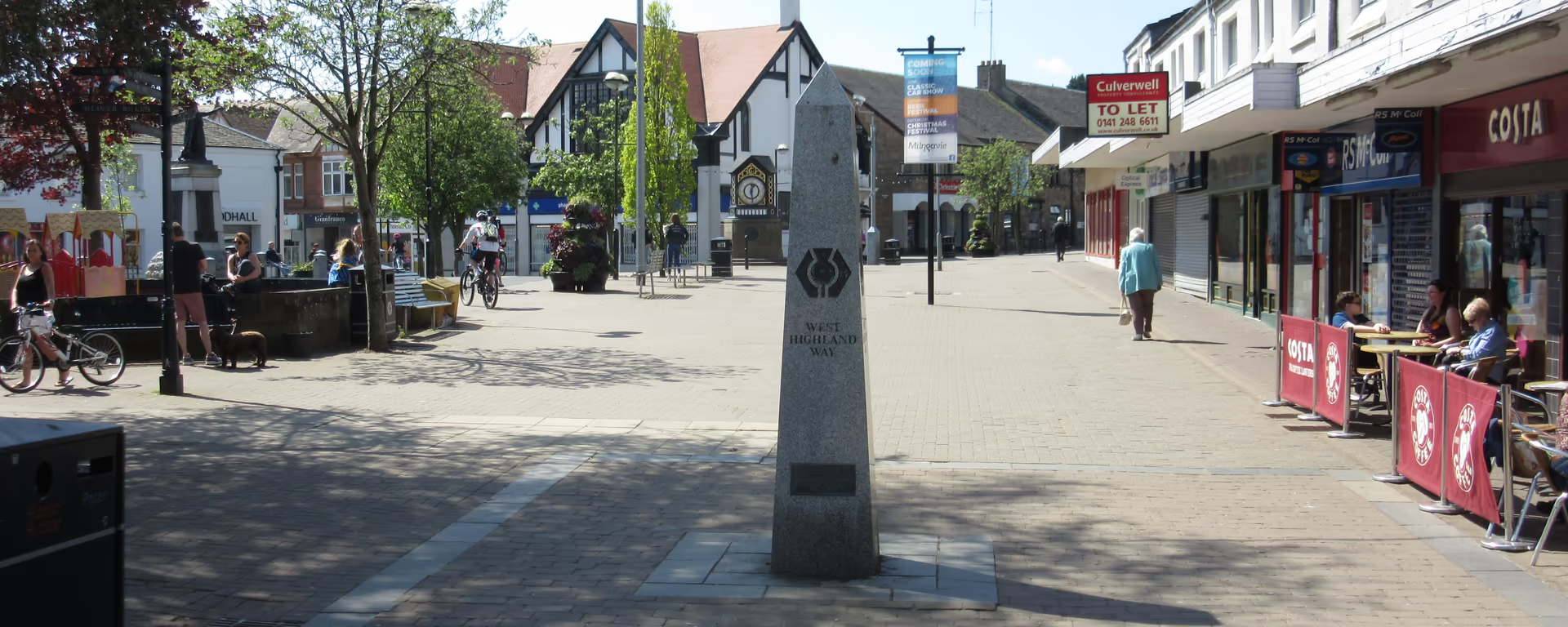 Section 1Milngavie to DrymenEasy miles out of Milngavie through Mugdock toward Loch Lomond. | 12.0 mi19.3 km | 5–6 h | 240 m800 ft |
|---|
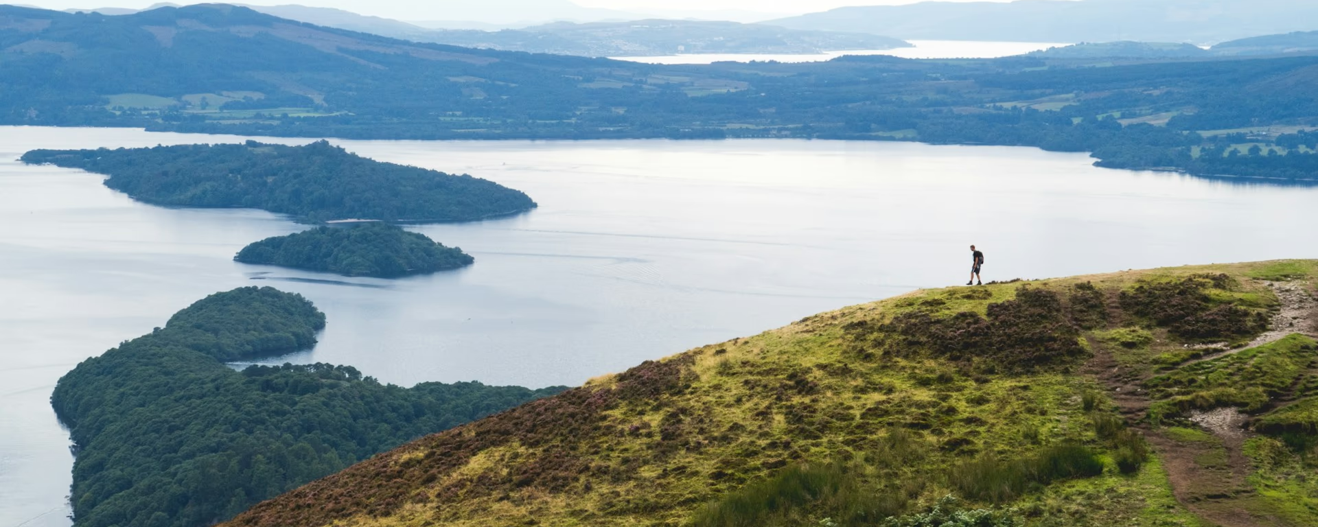 Section 2Drymen to RowardennanThe first real climb at Conic Hill, then the east shore to Rowardennan. | 14.8 mi23.8 km | 7–8 h | 670 m2,200 ft |
|---|
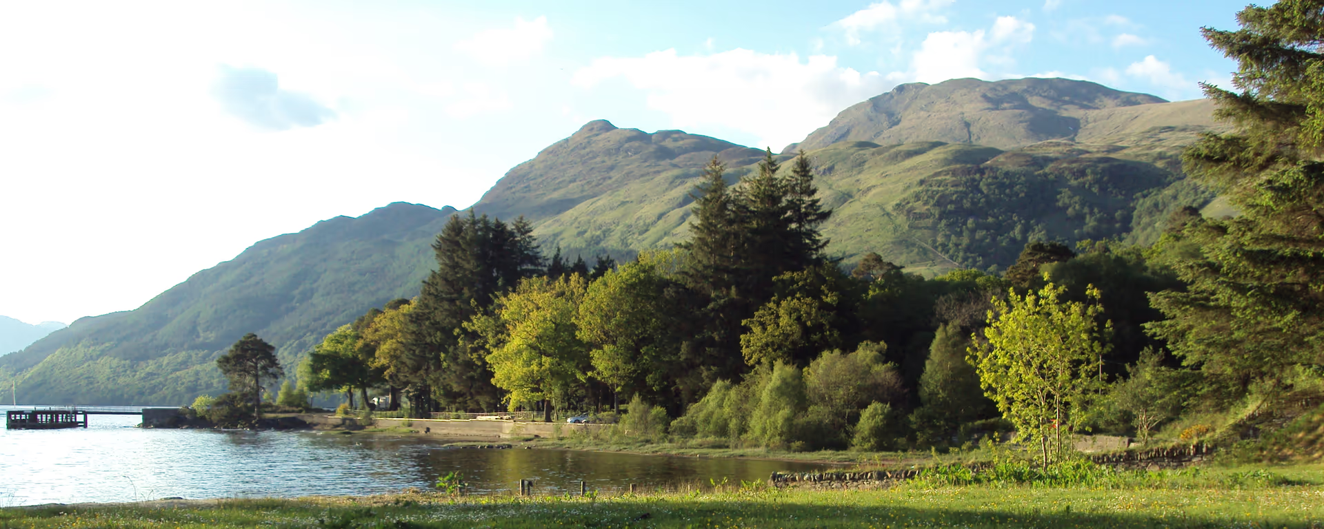 Section 3Rowardennan to InverarnanThe hard north shore. Roots and rock along Loch Lomond to Inverarnan. | 13.9 mi22.3 km | 6–7 h | 570 m1,850 ft |
|---|
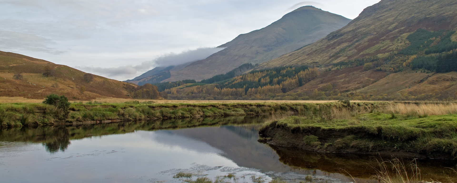 Section 4Inverarnan to TyndrumAfter the loch, glen walking through Crianlarich to Tyndrum. | 11.9 mi19.1 km | 5–6 h | 500 m1,650 ft |
|---|
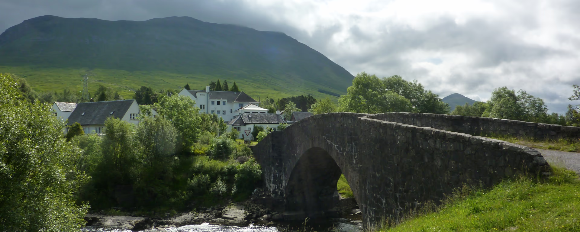 Section 5Tyndrum to InveroranThe short, easy glen. Beinn Dorain, Bridge of Orchy, then Loch Tulla. | 9.2 mi14.8 km | 4–5 h | 300 m1,000 ft |
|---|
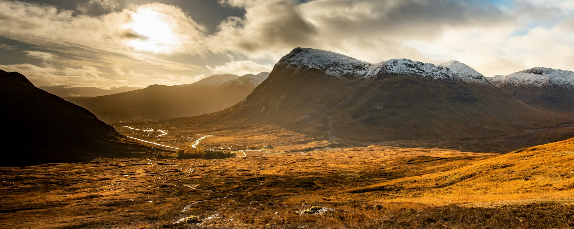 Section 6Inveroran to KingshouseRannoch Moor. Exposed, empty, and the weather day. | 9.6 mi15.5 km | 4–5 h | 300 m1,000 ft |
|---|
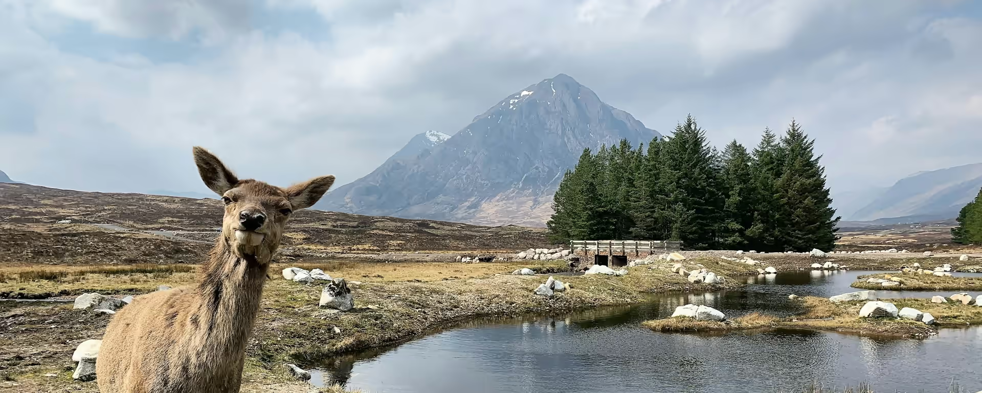 Section 7Kingshouse to KinlochlevenThe Devil's Staircase, then a long drop into Kinlochleven. | 8.8 mi14.2 km | 4–5 h | 400 m1,300 ft |
|---|
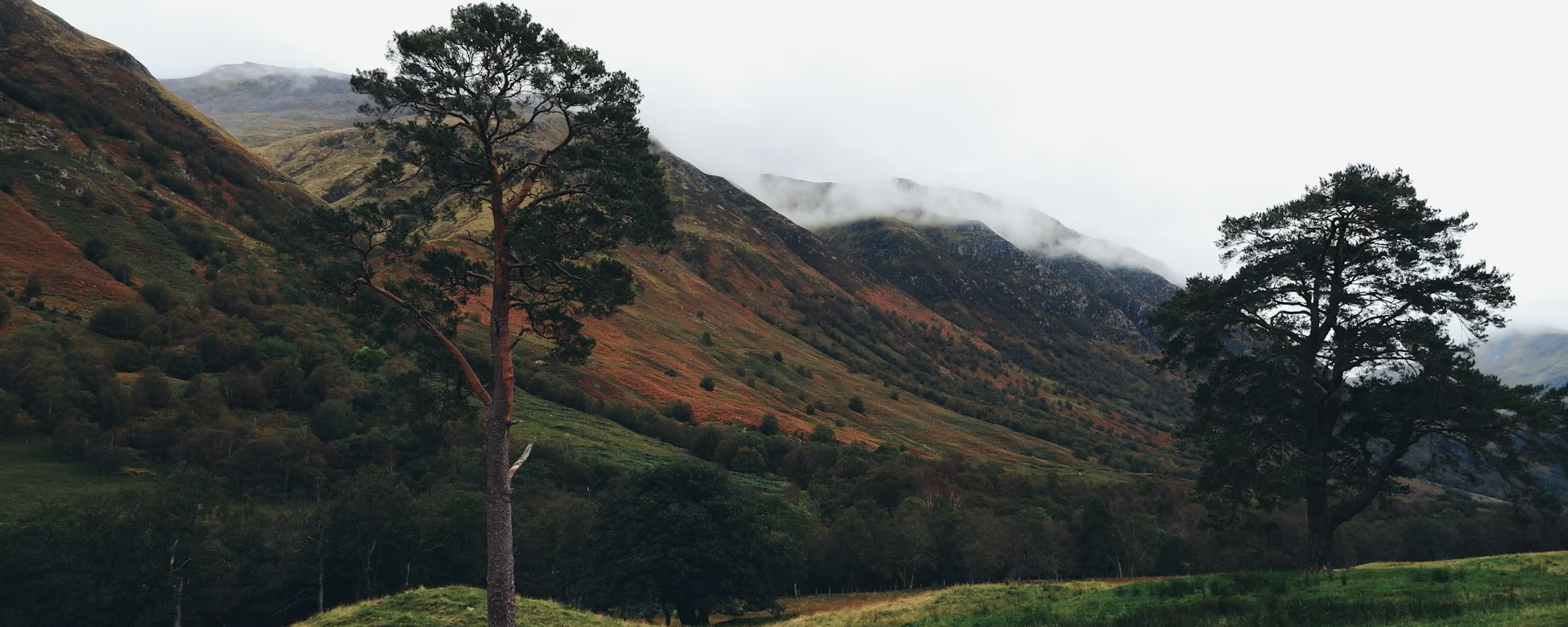 Section 8Kinlochleven to Fort WilliamThe last pass. A steep climb, then the Lairig Mòr into Fort William. | 15.0 mi24.2 km | 7–8 h | 620 m2,050 ft |
|---|
Distances and ascent follow the trail's GPS route. Walking time is a range. A section can take more than one walking day.