

England
Coast to Coast
Coming soon
Example stay Alexandra Hotel (opens in a new tab)
Cross-check: official Kinlochleven to Fort William section . We use their settlement names and amenity list as a cross-check. Distances are from our trail geometry, not their mile table.
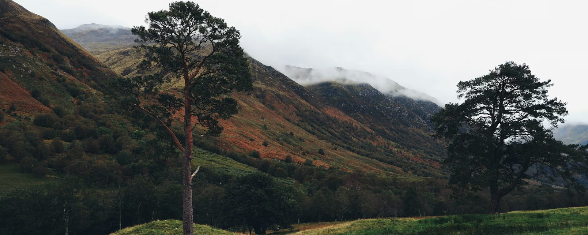
You leave Kinlochleven on a steep climb through woods. The gradient eases and Loch Leven opens behind you. Ahead is the Lairig Mòr, the great pass: an old military road between steep mountains, rough underfoot and empty. The path bends north through forestry. Ben Nevis comes into view. From Lundavra the ground still undulates, then you finish on tarmac into Fort William. The official end is the bronze walker at Gordon Square on the High Street, not the first sight of town.
Start of section
Kinlochleven
A working village with a shop and pubs. Last supplies before Fort William.
A steep climb through woods. The gradient eases and the view opens down Loch Leven, back to the village. There is no shop after this. Carry what you need for the pass.
The great pass. An old military road between steep mountains. Official guidance calls the walking easy, the ground rough. Ruins sit in the glen. No shelter and no food until Fort William.
The path bends north through forestry. Britain's highest mountain fills the horizon. A short detour visits the Iron Age fort of Dun Deardail above Glen Nevis. From Lundavra the path still undulates. A signed High Route around Cow Hill stays above the glen for views over Loch Linnhe, then drops near Alma Road.
Official finish
Fort William finish
The official finish is the bronze walker at Gordon Square on the High Street, not the station.
The climb comes first. Then a long, rough pass with no shops. The north shore is slow rock. The Devil's Staircase is the steep pull. Rannoch is empty weather. This is the long last pass: a climb out of the village, then rough and remote under the Mamores.
Refreshments
Toilets
Arrive
Kinlochleven
Local buses. No train.
Leave
Fort William railway station
ScotRail, the Caledonian Sleeper, and Citylink coaches. About 10 minutes' walk from the finish statue.
Southbound, you finish in Kinlochleven and leave by local bus.
Opposite direction
If you walk the Way from Fort William to Milngavie, this is your first official section. You leave the statue, climb above Glen Nevis or take the High Route around Cow Hill, then walk the Lairig Mòr the other way. The drop into Kinlochleven is steep. Same pass, same empty glen.
End of section
Kinlochleven
A working village with a shop, pubs, and beds after the staircase.
Local buses. There is no train. Maps and coordinates are under Get there in Section 8: Kinlochleven to Fort William overview.
It is a harder official section, and the longest of the eight. A steep climb out of the village, then a long, rough pass with no shops. The north shore is slower underfoot. The Devil's Staircase is the steep pull. This is the long last day, not a victory stroll.
Most people take 7–8 hours. It is the last day on every 5- to 9-day split: Day 7 on the 7-day. Official distance is about 15.0 mi (24 km). Ours is from the trail geometry.
At the bronze walker in Gordon Square, on the pedestrian High Street. That is the official end, not the railway station and not the first sight of town. The station is about 10 minutes from the statue.
Fort William has many beds near the High Street. The Alexandra Hotel is a short walk from the statue. Or leave the same afternoon by train or coach. Every 5- to 9-day split ends here.
Yes. Use the GPX button at the top of this page. It is this section's line, for Garmin, Komoot, or your phone. Open the planner if you want a file built around your overnight stops.
Used as Day 7 on the 7-day. Open the planner on that preset, then export a full-trip or per-day GPX.
Open in planner Read the 7-day itinerary
Full-trip and per-day GPX files. Free, no account.
Explore
England

Scotland
Scotland