

England
Coast to Coast
Coming soon
After the loch, glen walking through Crianlarich to Tyndrum.
Example stay Tyndrum Lodges (opens in a new tab)
Cross-check: official Inverarnan to Tyndrum section . We use their settlement names and amenity list as a cross-check. Distances are from our trail geometry, not their mile table.
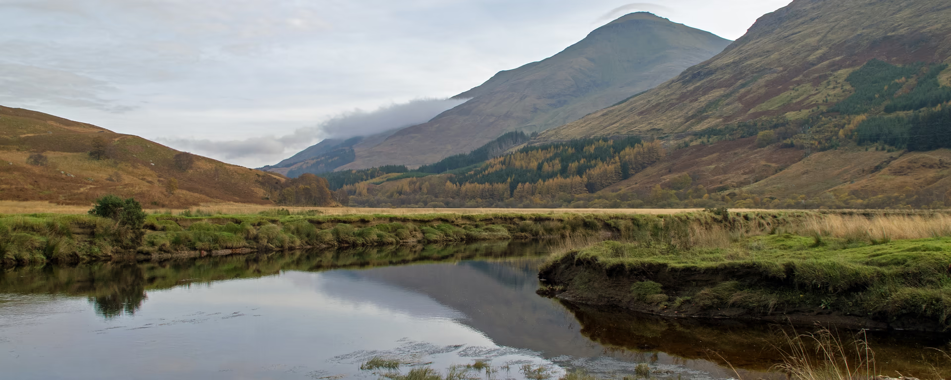
The country changes after Beinglas. You follow the River Falloch up a wide glen and catch glimpses of the Falls of Falloch. The Way skirts Crianlarich to the west. A signed spur drops into the village for food, a shop, or the train. Beyond it the path follows the River Fillan on an old military road, past the ruins of St Fillan's Priory at Kirkton Farm, then into Tyndrum.
Start of section
Inverarnan
Beinglas and the Drovers Inn are the usual stops. The Way is a short step from both.
The path follows the River Falloch upstream. You catch glimpses of the Falls of Falloch through the trees. The best view is from the far bank, not from the Way. The glen also carries the A82 and the railway. The walking is kinder than the loch.
Leave the path
The official route stays on the hillside west of the village. A signed spur drops in, about 15 minutes downhill, for a shop, food, toilets, or the train. It is the halfway point on the Way. Rejoin the same junction to continue toward Tyndrum.
At Kirkton Farm the path passes the ruins of St Fillan's Priory and an older graveyard. Then the River Cononish leads the last stretch into Tyndrum.
End of section
Tyndrum
Two stations and a village shop. Most people stay near the Lower station and the Way.
Well-surfaced paths and an old military road. Moderate hills, not technical. Yesterday was the rocky north shore. Rannoch Moor and the Devil's Staircase come later. This is the recovery glen.
Refreshments
Toilets
Arrive
Inverarnan
Citylink coaches stop on the A82. Beinglas is on the Way. The Drovers is a short step off.
Leave
Tyndrum Lower railway station
Closer to the village and the Way. ScotRail on the West Highland Line.
Southbound, you finish at Inverarnan and leave by coach from the A82.
Opposite direction
If you walk the Way from Fort William to Milngavie, this is the stretch that leaves Tyndrum and drops down the glen toward the loch. Same military road and Falloch valley as the northbound day. Crianlarich is still the useful pause. Inverarnan is a busier night than Tyndrum.
End of section
Inverarnan
Beinglas sits on the Way. The Drovers Inn is a short step off, across the river.
Citylink coaches stop on the A82 at Inverarnan. Beinglas is on the Way. The Drovers Inn is a short step off. Maps and coordinates are under Get there in Section 4: Inverarnan to Tyndrum overview.
It is a typical official section: well-surfaced paths and an old military road, with moderate hills. Not the rocky north shore you have just left. Rannoch Moor and the Devil's Staircase come after Tyndrum.
Most people take 5–6 hours, plus time if you drop into Crianlarich. It is Day 4 on the 7- and 8-day itineraries, and Day 5 on the 9-day. The 5- and 6-day continue past Tyndrum to Bridge of Orchy the same day.
Yes. The signed path enters the village. Two stations sit here. Most beds and the shop are a short walk from the Lower station.
Tyndrum is the usual night on the 7- to 9-day splits: hotels, lodges, and a real shop. Book ahead in summer. The 5- and 6-day skip a Tyndrum night and sleep in Bridge of Orchy. Crianlarich is an option if you leave the path for the spur.
Yes. Use the GPX button at the top of this page. It is this section's line, for Garmin, Komoot, or your phone. Open the planner if you want a file built around your overnight stops.
Used as Day 4 on the 7-day. Open the planner on that preset, then export a full-trip or per-day GPX.
Open in planner Read the 7-day itinerary
Full-trip and per-day GPX files. Free, no account.
Explore
England

Scotland
Scotland