- Direction Prestatyn to Chepstow , Swap direction
- Distance 178.3 mi 287 km
- Duration 11–16 days
- Ascent 8,610 m 28,250 ft
- Descent 8,590 m 28,200 ft
- Difficulty Hard
What is Offa's Dyke Path in reverse?
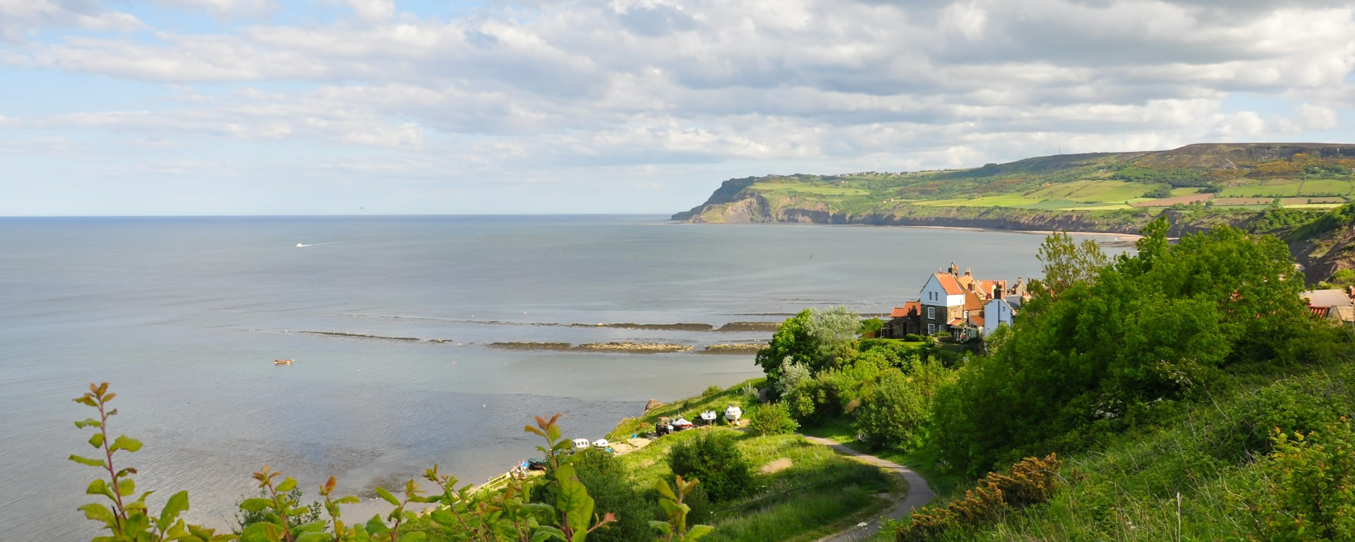
Start on the seafront at Prestatyn, climb straight up Prestatyn Hillside, and finish about two weeks later on the cliffs above the Severn. Walked north to south, Offa's Dyke Path runs 177 miles (285 km) to Sedbury Cliffs near Chepstow. For long stretches it keeps company with the bank and ditch King Offa raised along the edge of Mercia.
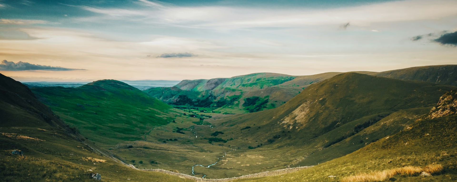
The hills come early: Prestatyn Hillside on the first morning, then the Clwydian Range and Moel Famau's Jubilee Tower on day two. Limestone crags and the Pontcysyllte Aqueduct lead down to the flat Severn valley. The switchbacks fill the middle of the walk, and Hatterrall Ridge runs south along the top of the Black Mountains.
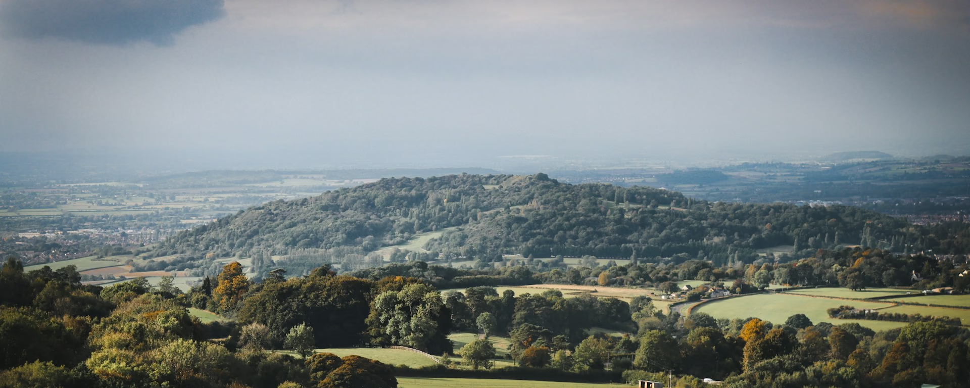
Near the end, the path climbs the Kymin out of Monmouth and drops into England at Redbrook. Then the escarpment woods lead past the Devil's Pulpit, high over Tintern Abbey, to the cliffs on the Severn. Allow about two weeks, as for the default way, with the same nights in the border towns and villages.
Which way should I walk?
For most walkers, south to north is the better way, with the wind and sun behind and a beach by a station at the end. Out of Prestatyn, the prevailing south-westerly is ahead or across on almost every section. It meets you head-on on the open Severn valley and from Kington to Hay. The midday sun is in your face most days.
Starting in Prestatyn, you step off the train and walk an ordinary first day of about 12 miles (20 km) to Bodfari. The Clwydian heather comes early, and the last day runs through the woods above the Wye gorge. You give up the paddle in the sea: the walk ends on a cliff top at Sedbury, about 2 miles (3 km) from Chepstow station.
Who it suits: walkers from the north and north-west, and anyone who wants the Wye woods as the finale. It also suits walkers whose dates put a Hay night from Chepstow in festival week. Think twice if you want the wind at your back, or if a big hill day on day two worries you.
Offa's Dyke Path route map
How hard is it in reverse?
We rate it hard either way: mostly gentle field paths and stiles, but two weeks of them. The total climb is almost the same in both directions. The high point is Hatterrall Ridge, about 700 m (2,300 ft), near the end of the walk, after the steep pull from Hay-on-Wye onto Hay Bluff.
The hills come before your legs harden: day one to Bodfari is an ordinary day, but day two is the Clwydian ridge. The switchbacks still fall mid-walk, day 8 of the 14-day. On the 12- to 14-day plans the last day is the longest: Monmouth to Sedbury Cliffs, about 19 miles (31 km), with the walk to the station after it.
The 11-day puts its long day mid-walk: Llanymynech to Cwm, about 24 miles (38 km), mostly level, then the switchbacks next morning. The 15- and 16-day split the Wye woods at Tintern, so the last day is short. On a first long walk, or if a hard second day worries you, start in Chepstow instead.
Itineraries and official sections
Pick a day count and the 11–16 day splits show where you would sleep each night, or read the route as the official town-to-town sections.
When is the best time to walk it?
- January, winter
- February, winter
- March, fair
- April, good
- May, best
- June, best
- July, best
- August, best
- September, best
- October, good
- November, fair
- December, winter
Best months: May, June, July, August, and September
The months are the same either way; what changes is the weather's direction. It mostly comes from the south-west. Starting in Prestatyn, it meets you head-on or from the right, and fronts arrive from ahead. Pack waterproofs that hold in a headwind.
Festival weeks fall on different nights: starting in Prestatyn, Hay-on-Wye is night 10 on the 14-day, not night 4, and Llangollen night 3, not night 11. A start date that misses Hay's festival from Chepstow can land in it from the north. Check the festival dates against your Hay night before you book anything else.
Pack for the sun ahead: at midday it is in your face most days, low and glaring in April, September and October, so bring sunglasses. The exposed tops come in a new order too: the Clwydian Range in the first two days, Hatterrall Ridge in the last four.
Rain days each month:
- January, 17 rain days
- February, 14 rain days
- March, 14 rain days
- April, 13 rain days
- May, 12 rain days
- June, 12 rain days
- July, 13 rain days
- August, 14 rain days
- September, 13 rain days
- October, 16 rain days
- November, 18 rain days
- December, 18 rain days
Driest: May and June — still 12 rain days.
Wales averages, 1991 to 2020. The path runs along the border, so the English side is a little drier.
How do I get there and back?
Start at the seafront marker (on Google Maps, opens in a new tab) in Prestatyn, about 0.6 miles (0.9 km) from Prestatyn station (on Google Maps, opens in a new tab). Direct trains run from London Euston in under three hours, so the night before is optional. If you drive, ask your first host about leaving the car, and check a journey planner for the trip back from Chepstow.
Finish on Sedbury Cliffs (on Google Maps, opens in a new tab), on the English bank of the Wye. Chepstow station (on Google Maps, opens in a new tab) is about 2 miles (3 km) on foot, through Sedbury and over the Old Wye Bridge. A few buses also run from Sedbury into town; check times before you travel. Sedbury has no beds, so after a long last day book a night in Chepstow.
Frequently asked questions
The walk
How long does Offa's Dyke Path take north to south?
As long as the default way: about two weeks, and we suggest the 14-day. Our plans run from 11 to 16 walking days, each starting in Prestatyn with the same nights in reverse and ending on Sedbury Cliffs. Travel and rest days are extra.
Can I start walking the day I arrive in Prestatyn?
Yes, on every plan. The station is a short walk from the seafront marker. The first day to Bodfari is about 12 miles (20 km) over the smaller northern hills, starting with the climb up Prestatyn Hillside. Rhuallt has little to rely on, so bring lunch.
Is the Clwydian ridge harder starting in Prestatyn?
It is the same ground, but it comes on day two. Penycloddiau rises straight out of Bodfari, and after Moel Famau's tower the path drops to Bwlch Penbarras and climbs once more across Foel Fenlli. Nothing is sold on the tops, so carry the day's food from Bodfari.
Is there a guidebook written north to south?
Yes. One current guidebook is laid out for both directions, rewalked each way, and its earlier editions ran north to south. The official guide runs south to north. Signposts show the path both ways.
Getting set
Do I need to book accommodation in advance?
Yes. Bodfari, your first night, has few beds, so book it before anything else. Llanymynech is thin too, and the Crown Inn at Longtown, below Hatterrall Ridge, opens on set days only. Starting in Prestatyn you reach these on different nights from the walkers who set out from Chepstow.
Where do I sleep at Clwyd Gate?
There is no walker's bed on the pass. On the 12- to 16-day it is your second night, spent at the Druid Inn in Llanferres. The inn picks walkers up at Clwyd Gate and drops them back next morning, so arrange the pick-up when you book. The 11-day walks on to Llandegla.
Can I get my bag moved walking north to south?
Yes, on both halves, booked separately. The northern service covers Prestatyn to Knighton and can meet your train at the start. The southern service, Knighton to Chepstow, charges more north to south. You reach it in your second week, so check its season covers those dates.
This site & app
Can I download a GPX of the walk north to south?
Yes. The GPX button at the top of this page gives the whole trail from Prestatyn to Sedbury Cliffs, with each section end marked. Open a plan to export the whole trip, or one file per day, in walking order.
Trail Britain is an independent planner. For notices and route changes, use the trail's own site: Offa's Dyke Path on National Trails (opens in a new tab).
Plan your Offa's Dyke Path
Choose your dates and pace, starting in Prestatyn, adjust overnight stops on the map, then export GPX files built around your route.
Explore