- On trail 13.5 mi 21.7 km
- Walking time 6–7 h
- Ascent 760 m 2,500 ft
- Descent 740 m 2,450 ft
- Difficulty Moderate
Where the path rejoins the dyke and follows it for mile after mile.
Section 5: Kington to Knighton map
Example stay The Plough Hotel
Cross-check: National Trails route description . Opened 30 October 2026. The distance at the top of this page is measured between these ends. The route page's miles stay in the answers below.
The walk
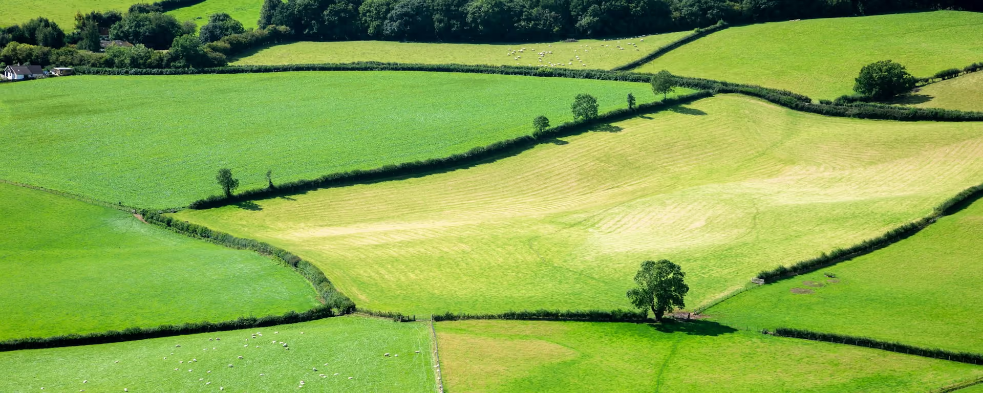
From Kington the path climbs over Bradnor Hill, and on Rushock Hill it rejoins the dyke, a bank and ditch it keeps beside for most of the way to Chirk Castle. The ground is rolling grass and field, with short climbs that keep coming, Furrow Hill and Hawthorn Hill the biggest. Knighton, almost halfway along the trail, has the Offa's Dyke Centre.
-
Start of section
Kington
-
The dyke
Rushock Hill
Where the trail rejoins the dyke. From here it follows the bank and ditch most of the way to Chirk Castle.
-
Bradnor Hill
Home to a golf course said to be the highest in England.
-
Knighton
Offa's Dyke Centre
The trail's visitor centre, in the town almost halfway along the walk. Knighton also has a railway station.
-
End of section
Knighton
Section 5: Kington to Knighton overview
The ground
- Dyke
- Grassy ridges
- Fields
Rolling hills beside the dyke. Short climbs, but many of them. Hillier than it looks on the map, though easier than the switchbacks that follow.
Stops
Refreshments
- Kington
- Knighton
Toilets
- The route page does not name a public toilet on this section
Before you go
Opposite direction
Knighton to Kington
Walked south, Knighton sits in its valley, so the day starts with a climb out of town, and the short pulls beside the dyke follow one after another. Bradnor Hill is the last high ground before Kington.
End of section
Kington
Kington to Knighton FAQ
How long is Kington to Knighton?
The route page lists 13.5 miles (21.7 km). The distance at the top of this page is measured between these ends.
Is Knighton halfway?
Almost. The true midpoint marker is a little further north, on the next section near Clun.
Can I download a GPX for Kington to Knighton?
Yes. Use the GPX button at the top of this page. It is this section's line, for Garmin, Komoot, or your phone. Open the planner if you want a file built around your overnight stops.
Walk this as a day
Used as Day 6 on the 14-day. Open the planner on that preset, then export a full-trip or per-day GPX.
Open in planner Read the 14-day itinerary
Full-trip and per-day GPX files. Free, no account.
Explore


