- On trail 15.1 mi 24.3 km
- Walking time 7–8 h
- Ascent 690 m 2,250 ft
- Descent 630 m 2,050 ft
- Difficulty Moderate
Border farmland, a church that serves tea, and the long view from Hergest Ridge.
Section 4: Hay-on-Wye to Kington map
Example stay Castle Hill House Bed and Breakfast Kington
Cross-check: National Trails route description . Opened 30 October 2026. The distance at the top of this page is measured between these ends. The route page's miles stay in the answers below.
The walk
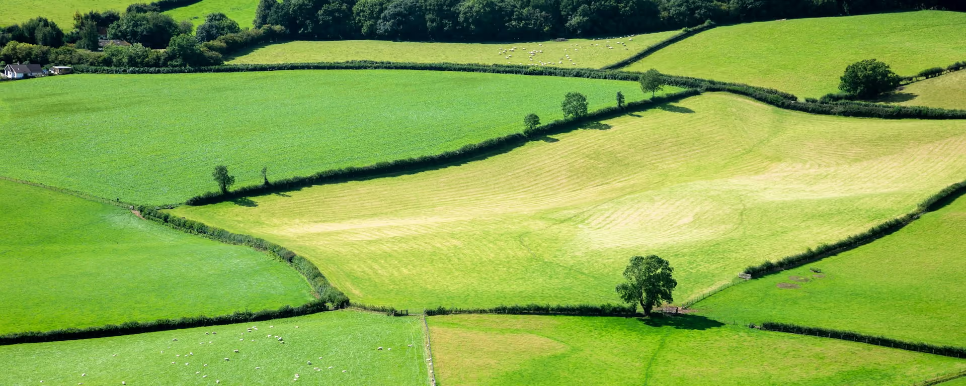
After the mountains, the path wanders through the rolling border country between Powys and Herefordshire, the land of Francis Kilvert's diaries. Newchurch's church is always open to walkers and serves tea for a donation. The day ends on Hergest Ridge, above 400 m, with Pen y Fan, the Malverns and the Shropshire hills all in view, and an old racecourse a mile round the top.
-
Start of section
Hay-on-Wye
-
Newchurch
The church is always open to walkers, with tea for a small donation.
-
Gladestry
A village below Hergest Ridge, where the Royal Oak welcomes walkers.
-
The view
Hergest Ridge
Over 400 m, with views all round, and an old racecourse on the summit exactly a mile round. The country is said to have inspired the Hound of the Baskervilles.
-
End of section
Kington
Section 4: Hay-on-Wye to Kington overview
The ground
- Fields
- Grassy tracks
- Hill ridge
Rolling hill country. Lots of small climbs, then one long one to finish. Lower and gentler than the ridge before it, but with more ups and downs than it first looks.
Stops
Refreshments
- Hay-on-Wye
- Newchurch (tea in the church)
- Gladestry (Royal Oak)
- Kington
Toilets
- The route page does not name a public toilet on this section
Before you go
Opposite direction
Kington to Hay-on-Wye
Out of Kington the path climbs at once onto Hergest Ridge, then winds down through farms and small villages to the Wye at Hay. The bookshops make a good reason to arrive early.
End of section
Hay-on-Wye
Hay-on-Wye to Kington FAQ
How long is Hay-on-Wye to Kington?
The route page lists 14.75 miles (23.3 km). The distance at the top of this page is measured between these ends.
Is it easier than the ridge?
Lower, yes, but not flat. The small climbs keep coming, and Hergest Ridge is a long pull at the end.
Can I download a GPX for Hay-on-Wye to Kington?
Yes. Use the GPX button at the top of this page. It is this section's line, for Garmin, Komoot, or your phone. Open the planner if you want a file built around your overnight stops.
Walk this as a day
Used as Day 5 on the 14-day. Open the planner on that preset, then export a full-trip or per-day GPX.
Open in planner Read the 14-day itinerary
Full-trip and per-day GPX files. Free, no account.
Explore


