- On trail 15.2 mi 24.5 km
- Walking time 8–9 h
- Ascent 1,140 m 3,750 ft
- Descent 1,190 m 3,900 ft
- Difficulty Hard
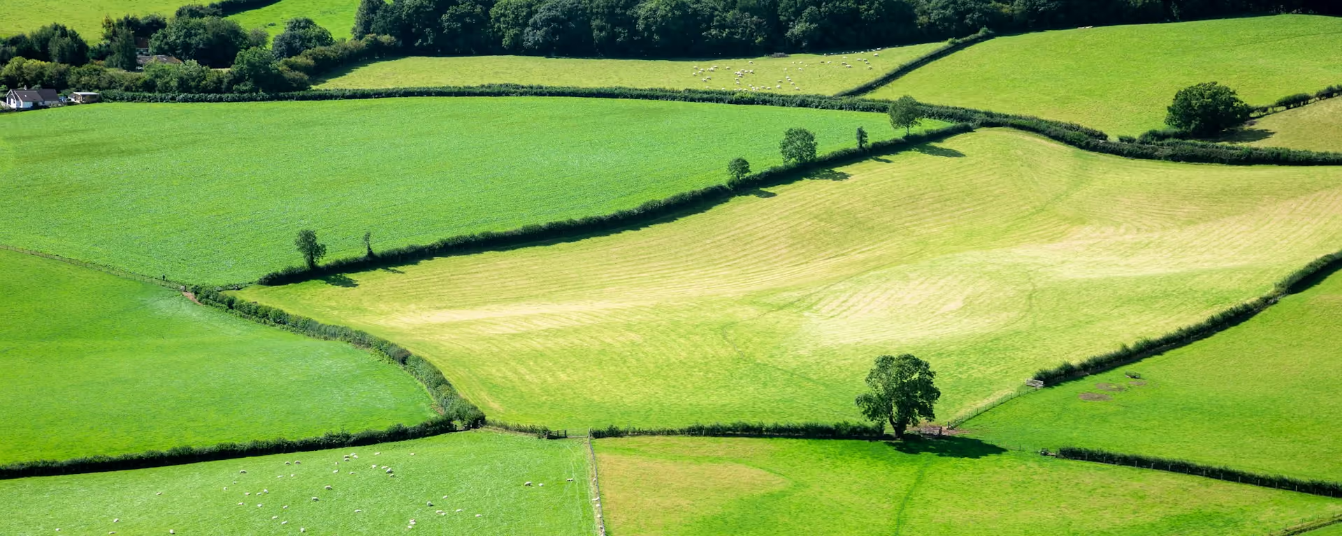
The switchbacks: climb, drop, climb again, over the Shropshire Hills.
Section 6: Knighton to Brompton Crossroads map
Example stay Offa's Dyke Cottage Bed and Breakfast (opens in a new tab)
Cross-check: National Trails route description . Opened 30 October 2026. The distance at the top of this page is measured between these ends. The route page's miles stay in the answers below.
The walk
The path dives into valley after valley across the Shropshire Hills, then climbs straight out again, which is why the trail body calls this its toughest section. Llanfair Hill has well-preserved dyke, and the trail's true midpoint is on the way. After the Kerry Ridgeway the ground finally levels out and drops towards Brompton.
-
Start of section
Knighton
-
The dyke
Llanfair Hill
Well-preserved earthwork, high on open hill.
-
The midpoint
The trail's true midpoint marker, near Clun.
-
The Kerry Ridgeway
Where the path meets the Kerry Ridgeway, the switchbacks end and the walking turns level or downhill.
-
End of section
Brompton Crossroads
Section 6: Knighton to Brompton Crossroads overview
The ground
- Steep grass
- Hill pasture
- Dyke
Repeated steep climbs and descents on grass. Not technical, but tiring. The toughest section of the trail, in the trail body's words. Hatterrall Ridge is higher, but this has more up and down.
Stops
Refreshments
- Knighton
- Newcastle-on-Clun (off the path)
Toilets
- The route page does not name a public toilet on this section
Before you go
Opposite direction
Brompton Crossroads to Knighton
From Brompton the path climbs to the Kerry Ridgeway, then plunges into the switchbacks heading south, so the hard ground fills most of the day. Knighton waits at the end, with shops and pubs.
End of section
Knighton
Knighton to Brompton Crossroads FAQ
How long is Knighton to Brompton Crossroads?
The route page lists 15 miles (24 km). The distance at the top of this page is measured between these ends.
Can I split the switchbacks?
Yes. Our 16-day plan stops at Newcastle-on-Clun, about halfway, so the section becomes two short days.
Can I download a GPX for Knighton to Brompton Crossroads?
Yes. Use the GPX button at the top of this page. It is this section's line, for Garmin, Komoot, or your phone. Open the planner if you want a file built around your overnight stops.
Walk this as a day
Day 7 of the 14-day ends at Cwm, about 1 mi (2 km) before Brompton Crossroads. Open the planner on that preset, then export a full-trip or per-day GPX.
Open in planner Read the 14-day itinerary
Full-trip and per-day GPX files. Free, no account.
Explore


