- On trail 14.0 mi 22.5 km
- Walking time 6–7 h
- Ascent 790 m 2,600 ft
- Descent 770 m 2,550 ft
- Difficulty Moderate
Limestone quarries, a toposcope, and a web of field paths.
Section 9: Llanymynech to Castle Mill map
Example stay Brookside Manor
Cross-check: National Trails route description . Opened 30 October 2026. The distance at the top of this page is measured between these ends. The route page's miles stay in the answers below.
The walk
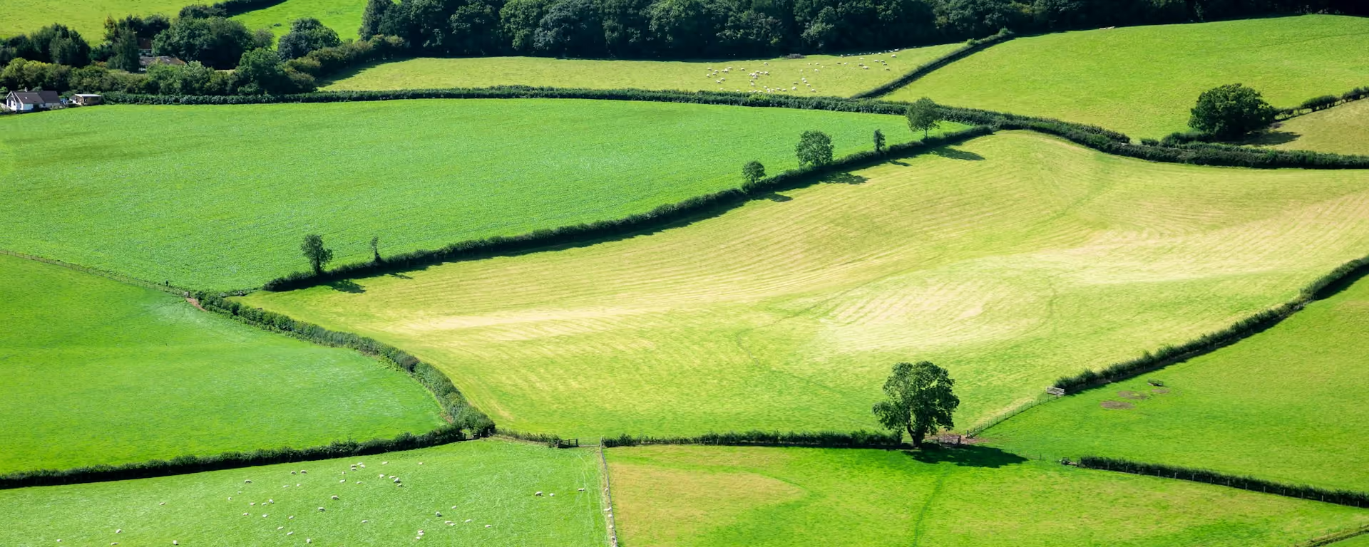
Limestone first: the path climbs to the disused quarry on Llanymynech Hill, now grassland grazed by sheep, and Moelydd's toposcope gives a view all round. The rest of the day rises and falls through working farmland and woods, with old mining ground at Nantmawr, Candy Woods and the old racecourse above Oswestry along the way. It asks more of the map than of the legs.
-
Start of section
Llanymynech
-
Llanymynech Hill
The disused limestone quarry, now local nature reserves grazed by sheep.
-
The view
Moelydd
A hill with a toposcope and a view all round.
-
Candy Woods
Woods among the farmland, where the junctions need attention and the paths are muddy after rain.
-
End of section
Castle Mill
Section 9: Llanymynech to Castle Mill overview
The ground
- Fields
- Woods
- Quarry
Undulating farmland with a lot of route-finding. Not steep, but busy. Not as hilly as the switchbacks or the ridges, but more demanding on the map than most sections.
Stops
Refreshments
- Llanymynech
- Trefonen (limited)
- Candy (The Old Mill)
Toilets
- The route page does not name a public toilet on this section
Before you go
Opposite direction
Castle Mill to Llanymynech
Walked south from Chirk Mill, the field paths and junctions fill the morning, and the day ends with the drop off Llanymynech Hill past the quarry into the border village.
End of section
Llanymynech
Llanymynech to Castle Mill FAQ
How long is Llanymynech to Castle Mill?
The route page lists 14 miles (22.5 km) to Chirk Mill. The distance at the top of this page is measured between these ends.
Is Castle Mill the same as Chirk Mill?
Yes. The official sections call it Chirk Mill. Chirk itself, with its station, is about 1.7 mi (2.7 km) to the east.
Can I download a GPX for Llanymynech to Castle Mill?
Yes. Use the GPX button at the top of this page. It is this section's line, for Garmin, Komoot, or your phone. Open the planner if you want a file built around your overnight stops.
Walk this as a day
Used as Day 10 on the 14-day. Open the planner on that preset, then export a full-trip or per-day GPX.
Open in planner Read the 14-day itinerary
Full-trip and per-day GPX files. Free, no account.
Explore


