- On trail 16.2 mi 26.0 km
- Walking time 7–8 h
- Ascent 590 m 1,950 ft
- Descent 490 m 1,600 ft
- Difficulty Easy
Orchards, castles and quiet farmland at the foot of the Black Mountains.
Section 2: Monmouth to Pandy map
Example stay The Rivers Edge (opens in a new tab)
Cross-check: National Trails route description . Opened 30 October 2026. The distance at the top of this page is measured between these ends. The route page's miles stay in the answers below.
The walk
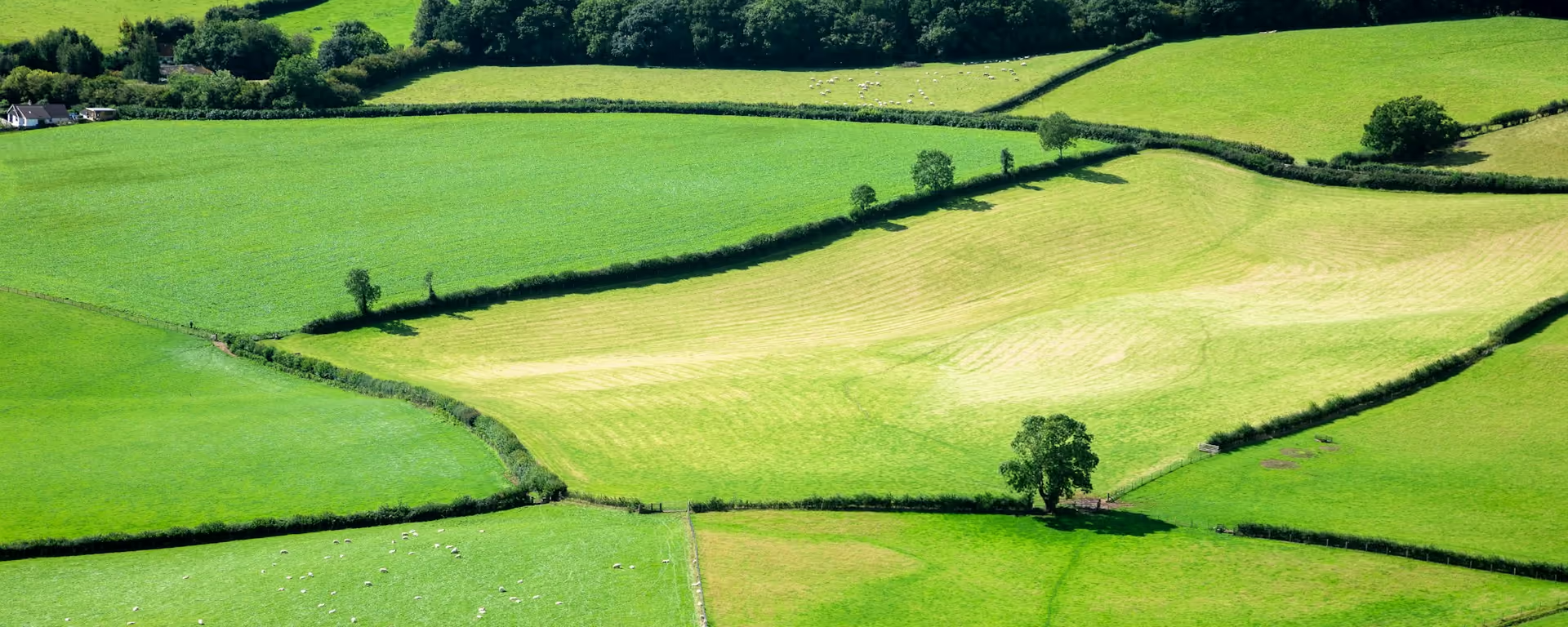
There is no dyke on this section, and no big hill. Instead the path wanders through orchards and sheep country, past small churches worth a minute each, and White Castle, a Norman stronghold improved in the 13th century. The Skirrid rises ahead, and behind it the long line of Hatterrall Ridge, tomorrow's walk.
-
Start of section
Monmouth
-
Castle
White Castle
A Norman castle, improved in the 13th century. The Three Castles Walk links it with Grosmont and Skenfrith.
-
Village churches
Llanfihangel Ystum Llywern, Llantilio Crossenny and Llangattock Lingoed each have a church worth a short visit.
-
Abbey Grace Dieu
Founded in 1248. Nothing stands now: only grassy humps in a field mark where it was.
-
End of section
Pandy
Section 2: Monmouth to Pandy overview
The ground
- Fields
- Farm tracks
- Lanes
Gentle farmland. The ground rises and falls, but nothing is steep. One of the easier sections. The next one, over Hatterrall Ridge, is one of the hardest.
Stops
Refreshments
- Monmouth
- Llangattock Lingoed (inn)
- Pandy
Toilets
- The route page does not name a public toilet on this section
Before you go
Opposite direction
Pandy to Monmouth
Walked from Pandy, the mountains drop behind you and the farmland eases towards Monmouth. The field paths are slow when churned after rain, but it is a gentle day after the ridge.
End of section
Monmouth
Monmouth to Pandy FAQ
How long is Monmouth to Pandy?
The route page lists 16.75 miles (27 km). The distance at the top of this page is measured between these ends.
Where can I stop for the night?
The usual 14-day stops at Llangattock Lingoed, where the Hunters Moon Inn is by the path. Faster plans walk on to Pandy.
Can I download a GPX for Monmouth to Pandy?
Yes. Use the GPX button at the top of this page. It is this section's line, for Garmin, Komoot, or your phone. Open the planner if you want a file built around your overnight stops.
Walk this as a day
Days 2 and 3 of the 14-day share this section, with the night at Llangattock Lingoed. Open the planner on that preset, then export a full-trip or per-day GPX.
Open in planner Read the 11-day itinerary
Full-trip and per-day GPX files. Free, no account.
Explore


