- Direction Robin Hood's Bay to St Bees , Swap direction
- Distance 188.9 mi 304 km
- Duration 10–18 days
- Ascent 7,820 m 25,650 ft
- Descent 7,820 m 25,650 ft
- Difficulty Hard
What is the Coast to Coast Path in reverse?
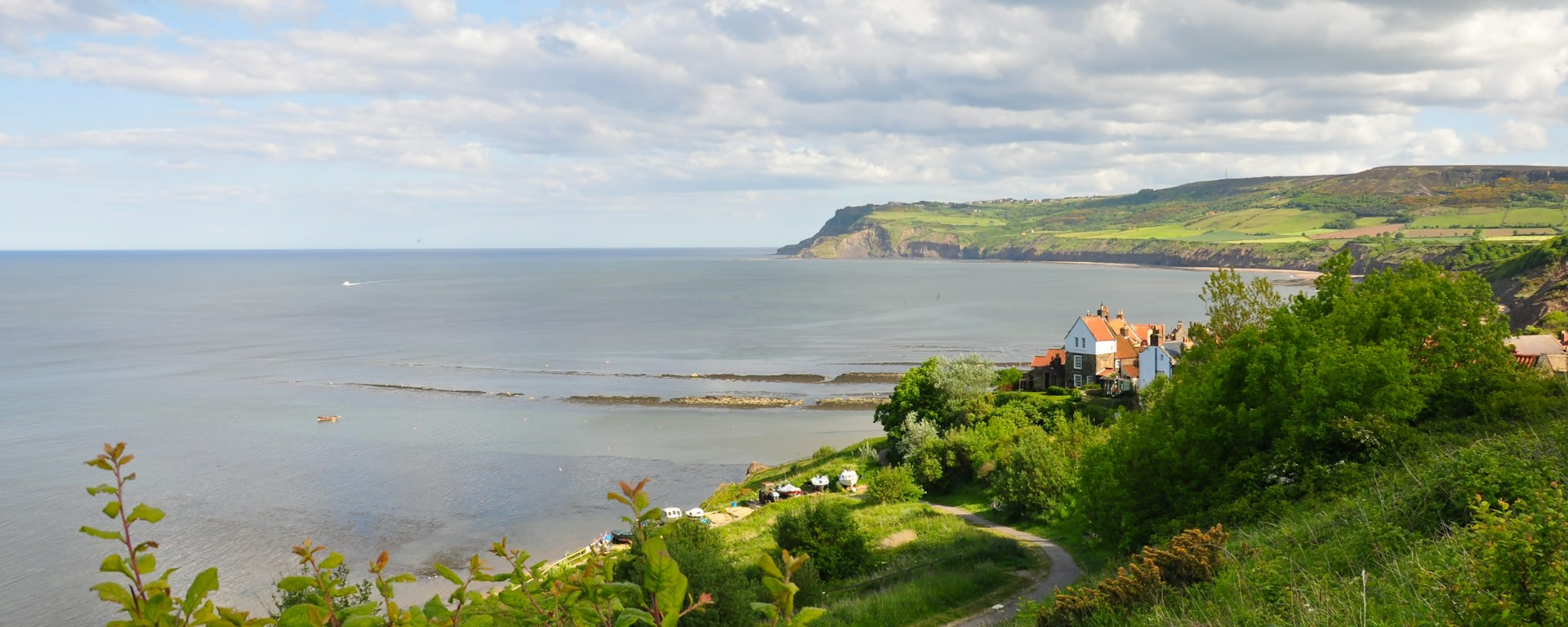
From the red-roofed fishing village on the North Sea to the sandstone cliffs of the Irish Sea. Walked east to west, the Coast to Coast Path runs 189 miles (304 km) from Robin Hood's Bay to St Bees. It crosses three national parks and keeps the highest ground for the end.
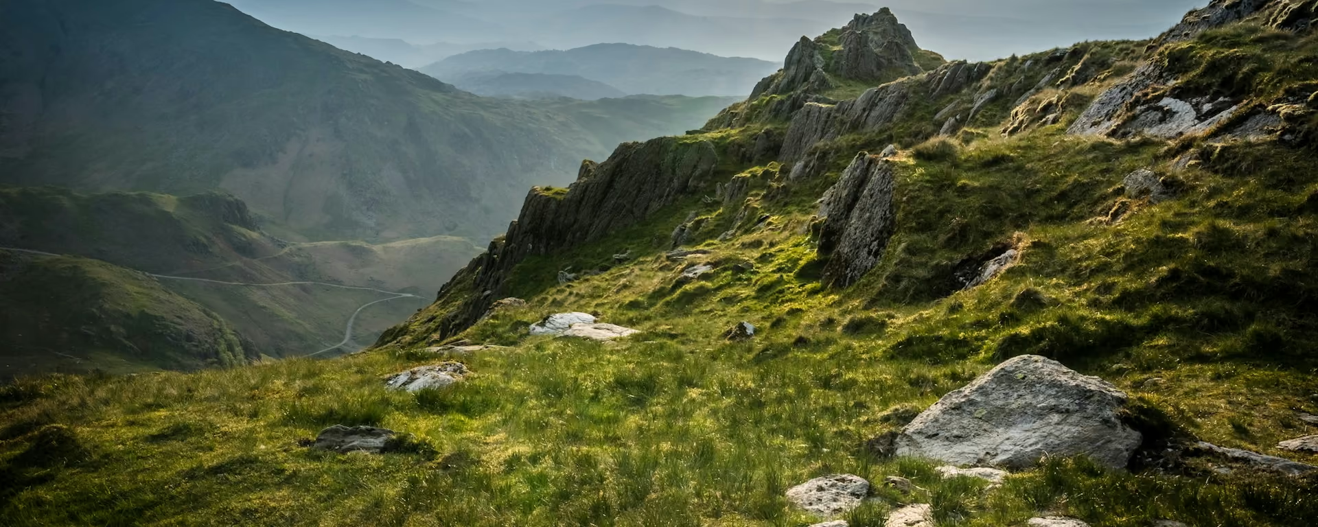
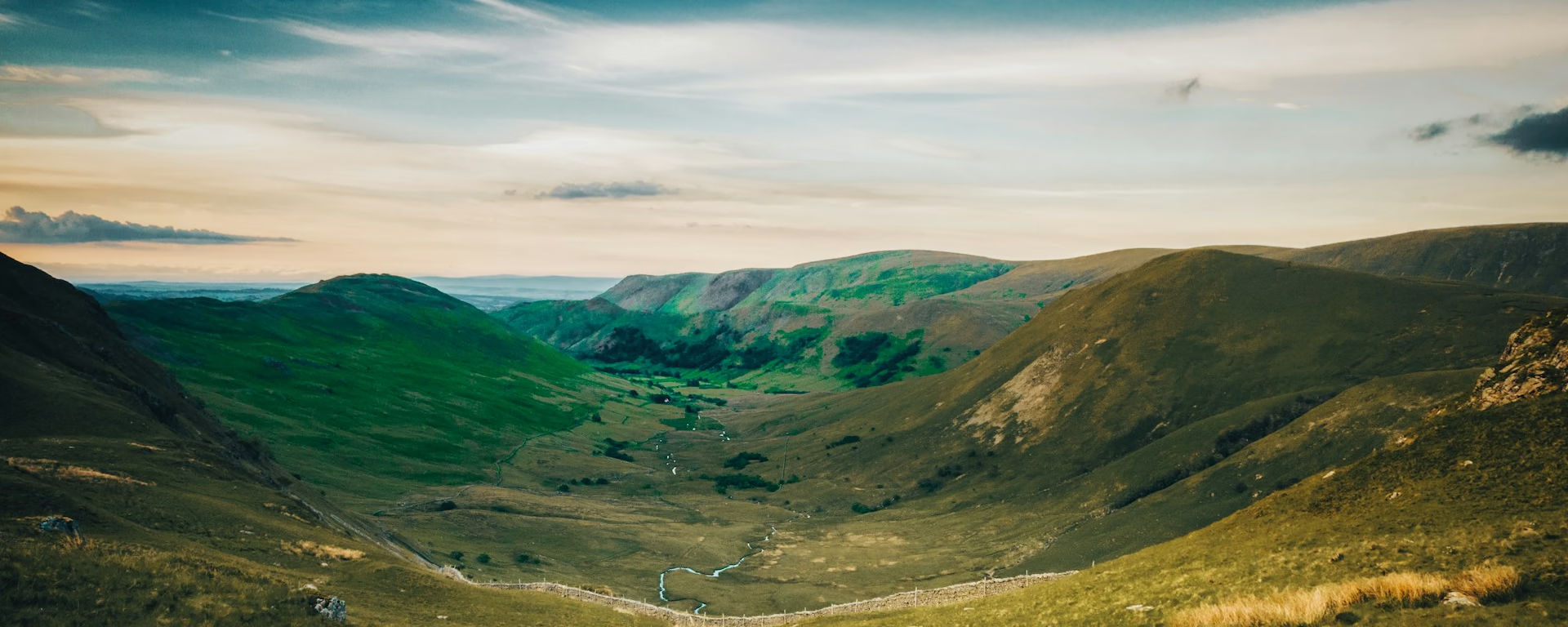
The first week is moor and dale: heather and the Cleveland Hills, the flat Vale of Mowbray, then up Swaledale to Keld and over Nine Standards. From the plateau above Shap the fells rise ahead, and Kidsty Pike, Grisedale and Borrowdale lead on to Ennerdale. Carry a pebble from the Bay to throw into the Irish Sea.
Which way should I walk?
For a walk that builds to the fells, start in Robin Hood's Bay and keep the Lake District for the last days. St Bees Head and the Irish Sea are the finish. Most walkers go west to east so the prevailing wind is behind them. Starting in the Bay, it is in your face nearly every day, and the rain arrives head-on.
Starting in Robin Hood's Bay, the moors and the Dales get you walking fit before Kidsty Pike and the passes, and the fells come as the reward. You give up fresh legs for the hardest days, and the main bag service runs only from St Bees, so bags take arranging. The path is not quieter either: you meet the walkers heading east face to face.
Who it suits: fit walkers who want the Lake District as the finale, and walkers who know the default way and want it fresh. Think twice on a first long walk, where starting at St Bees puts the hard days on fresh legs, or if you want your bags booked in one go.
Coast to Coast Path route map
How hard is it in reverse?
We rate it hard, and the climbing comes out the same in either direction. The high point is Kidsty Pike, 780 m (2,560 ft). Starting in Robin Hood's Bay, the moors, the Vale and the Dales come first, with longer days on kinder ground, so you reach the fells walking fit.
The hard days come last: Kidsty Pike is day 11 of the 15-day plan, straight after the long plateau from Kirkby Stephen. Both Lakeland passes and the steep, loose drop down Loft Beck follow it. Our plans run from 10 to 18 walking days and we suggest 15. On a first long walk, St Bees is the gentler place to start.
Itineraries and official sections
Pick a day count and the 10–18 day splits show where you would sleep each night, or read the route as the official town-to-town sections.
When is the best time to walk it?
- January, winter
- February, winter
- March, winter
- April, good
- May, best
- June, fair
- July, fair
- August, fair
- September, best
- October, good
- November, winter
- December, winter
Best months: May and September
May and September suit a first crossing, with long days and fewer walkers than high summer. In any month the weather tends to come from the west, so walking out of Robin Hood's Bay you meet it head-on. Pack for wind and rain in your face.
June to August is the busy season, when the few beds at Blakey Ridge and Keld book up months ahead. On the 15-day plan you reach Blakey on night two and Keld on night eight. April and October still work with shorter days; in winter the Lakes fells, the last days of this walk, need hill skills.
The drier east comes first, and the Lakes, the wettest ground, fill the last five days, so save your best waterproofs for the end. On the long westward afternoons the sun is ahead of you, low in spring and autumn.
Rain days each month:
- January, 14 rain days
- February, 12 rain days
- March, 11 rain days
- April, 11 rain days
- May, 10 rain days
- June, 11 rain days
- July, 12 rain days
- August, 12 rain days
- September, 11 rain days
- October, 14 rain days
- November, 15 rain days
- December, 14 rain days
Driest: May — still 10 rain days.
These are northern England averages. The Lakes days are wetter than the Vale and the east coast.
How do I get there and back?
Start on the foreshore at Robin Hood's Bay (on Google Maps, opens in a new tab), at the foot of the old village. There is no station: take a train to Whitby station (on Google Maps, opens in a new tab) or to Scarborough, then the coast bus; check times before you travel. Most walkers sleep in the Bay the night before.
Finish on the beach at St Bees (on Google Maps, opens in a new tab), about 20 minutes' walk from St Bees station (on Google Maps, opens in a new tab). Trains run south toward Barrow. Toward Carlisle the line is closed at Whitehaven while its tunnel is repaired, and a bus links the trains, so check before you travel.
If you drive, the Station car park at the top of Robin Hood's Bay is open day and night, with day tickets in the season. Check the signs before you leave a car for two weeks, and plan the long train journey back across England from St Bees.
Frequently asked questions
The walk
How long does the Coast to Coast Path take east to west?
As long as the default way: our plans run from 10 to 18 walking days, and we suggest 15. Every plan starts at Robin Hood's Bay with the same nights in reverse and ends on the beach at St Bees. Travel and rest days are extra.
Is it harder walking east to west?
The climbing is the same either way. Starting in Robin Hood's Bay, the fells come in the last five days rather than the first, and you walk into the prevailing wind, so the end of the walk is the hardest part.
How does the lift at Clay Bank Top work walking west?
Clay Bank Top is a road pass with no beds. Starting in Robin Hood's Bay, you reach it at the end of a moor day and take a lift down to Great Broughton, then a lift back up the next morning. Arrange both when you book the bed.
Getting set
Do I need to book accommodation in advance?
Yes. Blakey Ridge and Keld have few beds and fill first in summer. Starting in Robin Hood's Bay, you reach them on different nights from most walkers, which can help. Book the night before the start early if it falls on the Bay's June folk weekend.
Can I get my bag moved walking east to west?
It takes arranging. The main bag service runs west to east only, and starting in Robin Hood's Bay you may need to ask for a quote or carry your own pack. Sort the bags out before you book your beds.
This site & app
Can I download a GPX of the walk east to west?
Yes. The GPX button at the top of this page gives the whole trail from Robin Hood's Bay to St Bees. Open a plan to export the whole trip, or one file per day, in walking order.
Trail Britain is an independent planner. For notices and route changes, use the trail's own site: Coast to Coast on National Trails (opens in a new tab).
Plan your Coast to Coast Path
Choose your dates and pace, starting in Robin Hood's Bay, adjust overnight stops on the map, then export GPX files built around your route.
Explore