- Distance 73.9 mi 119 km
- Duration 5–8 days
- Ascent 2,500 m 8,200 ft
- Descent 2,500 m 8,200 ft
- Difficulty Moderate
What is the Cumbria Way?
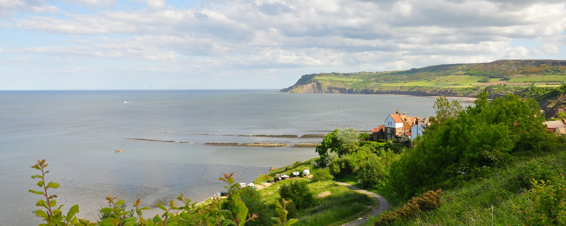
The Cumbria Way takes in "all that is best in the Lake District" on one valley walk, from the edge of Morecambe Bay to the border city of Carlisle. It runs about 70 miles (112 km) through the middle of the national park, and local Ramblers devised it in the 1970s.
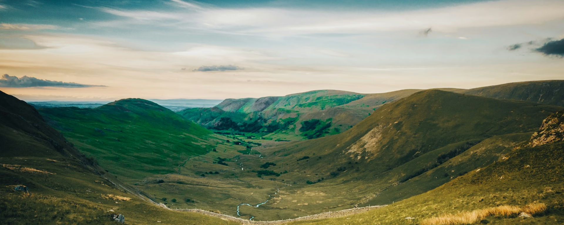
Field paths and stiles climb from Ulverston, Stan Laurel's home town, to boggy Beacon Tarn and the shore of Coniston Water. Woods lead past Tarn Hows to the Langdale Pikes, and the Stake Pass, the one mountain pass, drops you down rocky Langstrath into Borrowdale.
North of Keswick the lakes fall behind: a track climbs to remote Skiddaw House, and High Pike, the highest point, looks out to Scotland. The last day follows the Caldew down from John Peel's village of Caldbeck to the Market Cross in Carlisle.
Cumbria Way route map
How hard is the Cumbria Way?
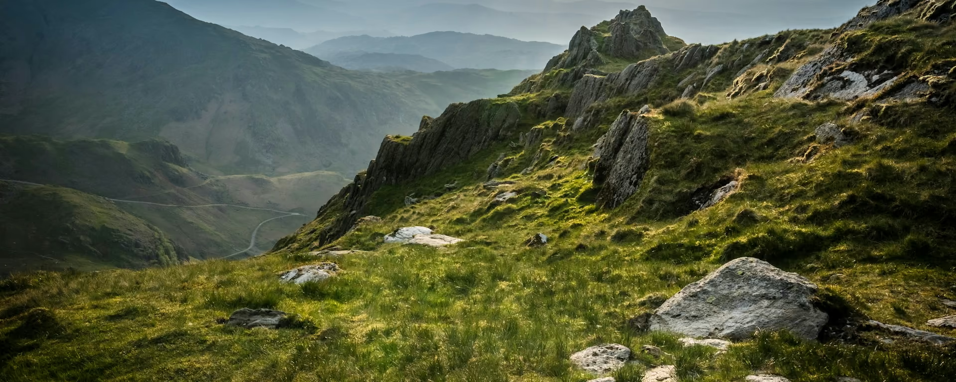
Mostly valley walking, with two short hard places: the stepped climb to the Stake Pass, and the wet, pathless pull up Grainsgill Beck to High Pike, 658 m (2,159 ft). Walkers lose the path at both in mist.
Most walkers take five or six days. The first and last days are long and low, about 15 miles each, and Keswick to Caldbeck is remote, with no food on the way. Cattle graze the fields at both ends.
Waymarks are a green disc with the name, thin across the fields, so carry a map or the GPX. With the 6- or 7-day plan, it makes a good first long walk in the Lakes.
Itineraries and official sections
Pick a day count and the 5–8 day splits show where you would sleep each night, or read the route as the official town-to-town sections.
When is the best time to walk it?
- January, winter
- February, winter
- March, fair
- April, best
- May, best
- June, best
- July, best
- August, best
- September, best
- October, good
- November, winter
- December, winter
Best months: April, May, June, July, August, and September
April, May, June, July, August and September suit a first walk, while the bag service runs. Spring brings wildflowers and fewer people, and summer the longest days. October brings colour in the woods and often settled weather. You can walk it in any month.
Winter asks for more: short days, snow and ice on the pass and the fells, and more kit. Skiddaw House takes rooms only from Easter to late October, so the 8-day plan fits those months.
Rain is likely in any month. North West England has its fewest wet days from April to June and the most from October to January, so pack waterproofs whenever you go.
Rain days each month:
- January, 16 rain days
- February, 14 rain days
- March, 13 rain days
- April, 12 rain days
- May, 12 rain days
- June, 12 rain days
- July, 13 rain days
- August, 14 rain days
- September, 13 rain days
- October, 16 rain days
- November, 17 rain days
- December, 17 rain days
Driest: April, May, and June — still 12 rain days.
These are averages for North West England and North Wales, which take in the whole walk.
How do I get there and back?
Ulverston's station (on Google Maps, opens in a new tab) is a short walk from the start, on the line between Lancaster and Barrow-in-Furness. The Way starts by the Cairn and Compass sculpture (on Google Maps, opens in a new tab) in the west of the town.
Carlisle station (on Google Maps, opens in a new tab), a few minutes from the Market Cross (on Google Maps, opens in a new tab), is on the main line between London and Glasgow and has trains along the Cumbrian coast back toward Ulverston. Check times before you travel, especially on a Sunday.
On the last day, Dalston has a station of its own, a few miles short of Carlisle.
The Gill car park, where the Way starts, is long stay, with passes for several days. Trains from Carlisle bring you back to Ulverston.
Frequently asked questions
The walk
How long does the Cumbria Way take?
Most walkers take five or six walking days for about 70 miles (112 km). Our plans run from 5 to 8 days: the 5-day has days of about 12 to 16 miles, and the 8-day keeps every day but the flat last one under 12 miles. Travel and rest days are extra.
Which direction should I walk?
Ulverston to Carlisle is the usual way and how our plans run, with the lakes first and the fells north of Keswick near the end. Some walkers start in Carlisle instead, so the city miles come first and the walk ends in the fields above Morecambe Bay. The planner reverses any plan; check that your bag service runs that way too.
What is the hardest part of the Cumbria Way?
The day from Keswick to Caldbeck. It is remote, with no food on the way, and Grainsgill Beck is a wet, pathless climb to High Pike. The Stake Pass between Great Langdale and Borrowdale is short and stepped. Walkers lose the way on both in mist, so carry a map and compass.
Getting set
Do I need to book accommodation in advance?
Yes. Great Langdale and Rosthwaite have few beds, and some ask for two nights at weekends. Caldbeck has few rooms for one night. On the longer plans, Lowick Bridge has one small inn and Skiddaw House is one hostel. Book those nights first, and earliest for summer.
Can I get my bag transferred?
Yes, from spring to mid-autumn; ask whether your dates are inside the season. Moving bags over the Stake Pass, from Great Langdale to Borrowdale, costs more than the other days. No van reaches Skiddaw House, so on the 8-day you carry one night's kit and the bag goes on to Caldbeck.
Can I buy food between Keswick and Caldbeck?
Only at Skiddaw House, about 5 miles in, which has a small shop that takes cash only and opens with the hostel's season. Carry lunch and water from Keswick. The first day from Ulverston has no food on the path either.
This site & app
Do I need an account?
No. Pick a Cumbria Way plan and move your stops right away. You only give an email if you want a link to keep editing on another device, and the GPX downloads without one.
Can I download a GPX of the Cumbria Way?
Yes. Open a plan and export the whole walk, or one file per day, for your phone or watch. Each section page has its own GPX too. Where the waymarks on the ground differ from the line, follow the waymarks.
Plan your Cumbria Way
Choose your dates and pace, adjust overnight stops on the map, then export GPX files built around your route.
Explore