Section 3 of 5
Great Langdale to Keswick
Over the one mountain pass into Borrowdale.
Route map
Example stay Keswick Park Hotel (opens in a new tab)
Cross-check: Cumbria Way on Wikipedia (opens in a new tab) . Opened 15 November 2026. No trail body publishes sections; these five are the stages walkers and guidebooks use. Distances are measured along the trail.
The walk
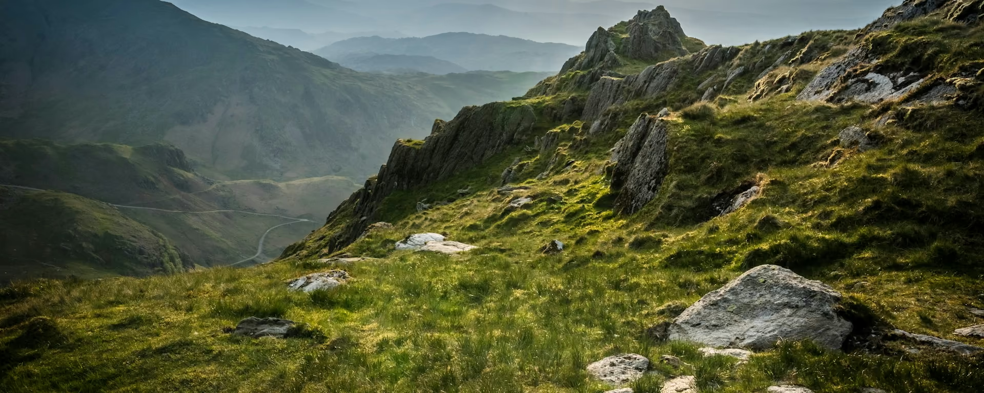
The mountain day: the Cumbria Way leaves Great Langdale up Mickleden, a glacial valley under the screes where Stone Age people made axes. Stepped zigzags climb to the Stake Pass, and a rough path drops down Langstrath, "the long valley", to Stonethwaite and Rosthwaite. The rest is easy: the Derwent, the Jaws of Borrowdale and the wooded shore of Derwentwater into Keswick.
-
Start of section
Great Langdale
-
Mickleden
Pike of Stickle
Neolithic people roughed out stone axes on these screes from about 4,000 BC. They turn up across Britain and Ireland.
-
Descent
Langstrath
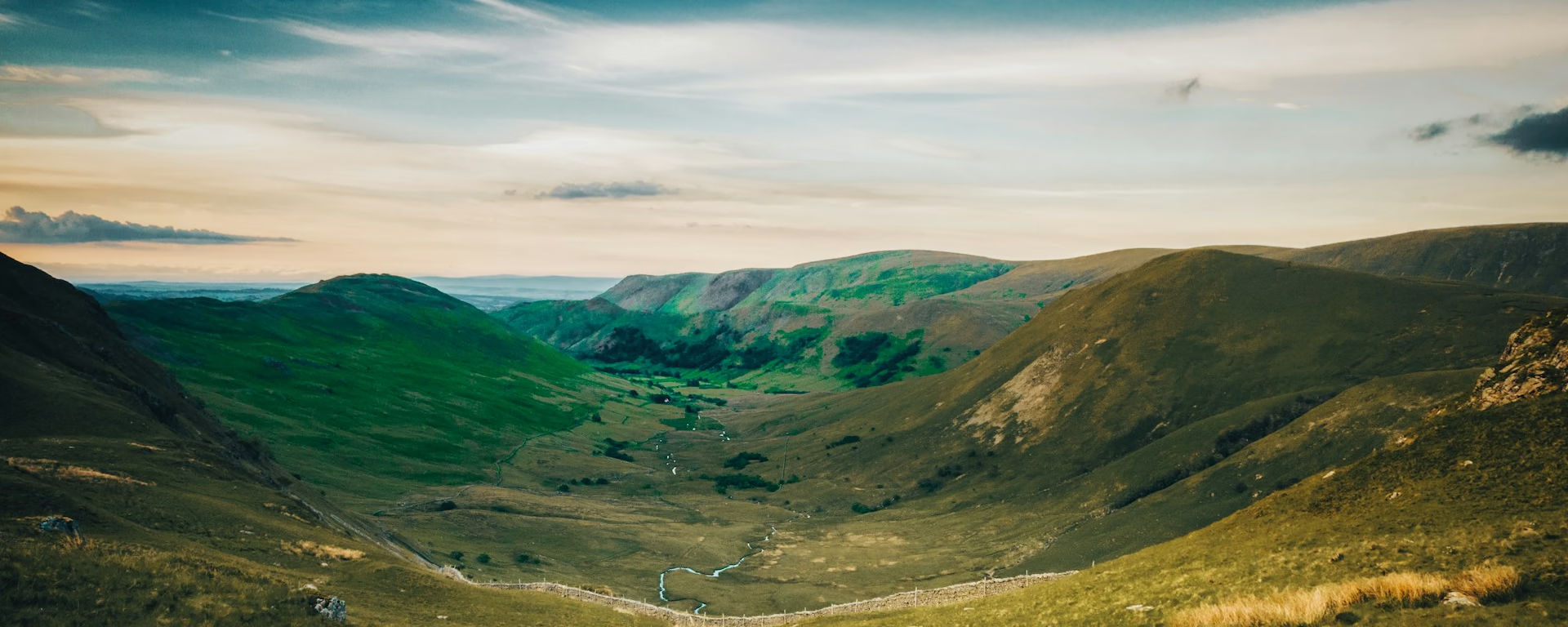
A long, empty valley below the pass. Black Moss Pot, a deep rock pool, is busy with swimmers on hot days.
-
The finish
Derwentwater
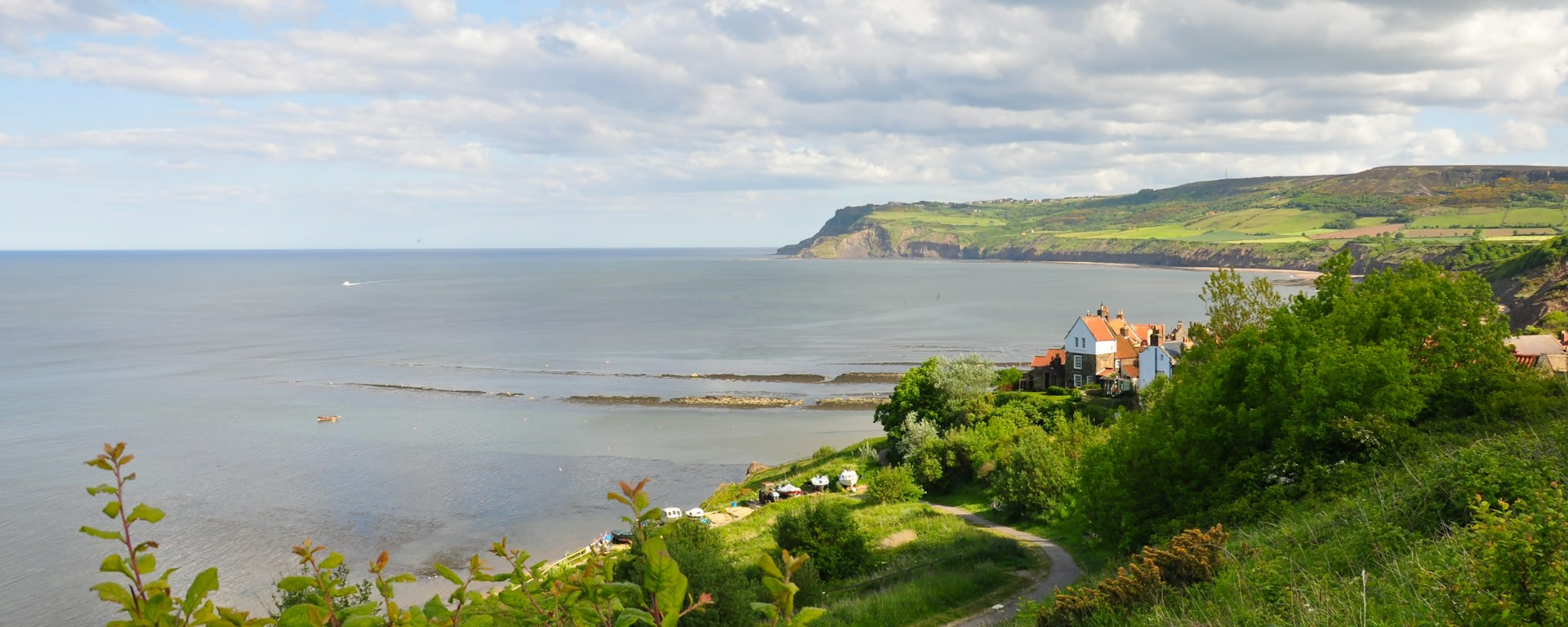
Boardwalks and woods follow the western shore past Brandelhow Park to the suspension bridge at Portinscale.
-
End of section
Keswick
Overview
The ground
- Mountain pass
- Rocky descent
- Lakeshore
A steep mountain pass and a rocky descent, then a long, flat valley and lakeshore. The longest section and one of the two hard ones. The pass is short, but the miles after it feel long.
Stops
Refreshments
- Great Langdale
- Stonethwaite
- Rosthwaite
- Grange
- Portinscale
- Keswick
Toilets
- Rosthwaite
- Grange
- Keswick
Before you go
Opposite direction
Keswick to Great Langdale
Walked from Keswick, Derwentwater and Borrowdale make an easy morning to Rosthwaite, the last food. Langstrath then climbs over rock to the Stake Pass, and the zigzags into Mickleden come late in the day.
End of section
Great Langdale
Great Langdale to Keswick FAQ
How hard is the Stake Pass?
Steep but short: a stepped, zigzag climb from Mickleden and a rough descent down Langstrath. In mist the top is easy to lose, so carry a map and compass and know how to use them.
Can I split this section?
Yes, at Rosthwaite or Stonethwaite in Borrowdale. Our 6-, 7- and 8-day plans stop at Rosthwaite, giving the pass a short day and leaving a half day to Keswick.
Can I download a GPX for Great Langdale to Keswick?
Yes. Use the GPX button at the top of this page. It is this section's line, for Garmin, Komoot, or your phone. Open the planner if you want a file built around your overnight stops.
Walk this as a day
Split over Days 3 and 4 of the 6-day, with the night in Rosthwaite. Open the planner on that preset, then export a full-trip or per-day GPX.
Open in planner Read the 5-day itinerary
Full-trip and per-day GPX files. Free, no account.
Explore