Section 1 of 5
Ulverston to Coniston
From Stan Laurel's home town to the lake of the speed records.
Route map
Example stay Black Bull (opens in a new tab)
Cross-check: Cumbria Way on Wikipedia (opens in a new tab) . Opened 15 November 2026. No trail body publishes sections; these five are the stages walkers and guidebooks use. Distances are measured along the trail.
The walk
Farmland first, then the first fells: the Cumbria Way leaves Ulverston, Stan Laurel's home town, by the Cairn and Compass sculpture. Field paths and stiles climb north, with the Hoad Monument and Morecambe Bay behind you. Bracken and bog take over in the Blawith Fells up to Beacon Tarn, and the shore of Coniston Water is a gentle finish.
-
Official start
Ulverston
-
Ulverston
Hoad Monument
Built in 1850 for Sir John Barrow of the Admiralty, it copies the third Eddystone Lighthouse. It stays in view behind you for the first miles.
-
Blawith Fells
Beacon Tarn
A small tarn in rough, low fells, the first wild ground of the walk. The path along its west side is boggy.
-
The finish
Coniston Water
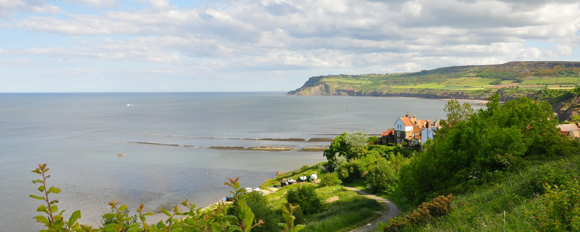
Donald Campbell set four water speed records here and died on the lake in 1967. Peel Island is Arthur Ransome's Wild Cat Island.
-
End of section
Coniston
Overview
The ground
- Fields
- Bracken and bog
- Lakeshore
Fields and stiles, a rough climb into low fells, then an easy lakeside finish. Long, but never high. The route-finding across the fields and the bog at Beacon Tarn make it slower than its height suggests.
Stops
Refreshments
- Ulverston
- Coniston (lake shore and village)
Toilets
- Ulverston
- Coniston
Before you go
Opposite direction
Coniston to Ulverston
Walked from Coniston, the lakeshore comes first, then a rough climb past Beacon Tarn. The afternoon is field paths and stiles down to Ulverston, with Morecambe Bay ahead of you.
Official finish
Ulverston
Ulverston to Coniston FAQ
Where can I eat between Ulverston and Coniston?
Nowhere on the path until the Coniston shore. The pubs at Lowick Bridge and Torver are each about a mile off the route. Carry lunch from Ulverston.
Can I split this section?
Yes. Our 7-day and 8-day plans stop at Lowick Bridge, at the Red Lion Inn, about a mile off the path from Kendall Ground.
Can I download a GPX for Ulverston to Coniston?
Yes. Use the GPX button at the top of this page. It is this section's line, for Garmin, Komoot, or your phone. Open the planner if you want a file built around your overnight stops.
Walk this as a day
Used as Day 1 on the 6-day. Open the planner on that preset, then export a full-trip or per-day GPX.
Open in planner Read the 6-day itinerary
Full-trip and per-day GPX files. Free, no account.
Explore