Section 4 of 5
Keswick to Caldbeck
Behind Skiddaw to the highest point of the Way.
Route map
Example stay Oddfellows Arms (opens in a new tab)
Cross-check: Cumbria Way on Wikipedia (opens in a new tab) . Opened 15 November 2026. No trail body publishes sections; these five are the stages walkers and guidebooks use. Distances are measured along the trail.
The walk
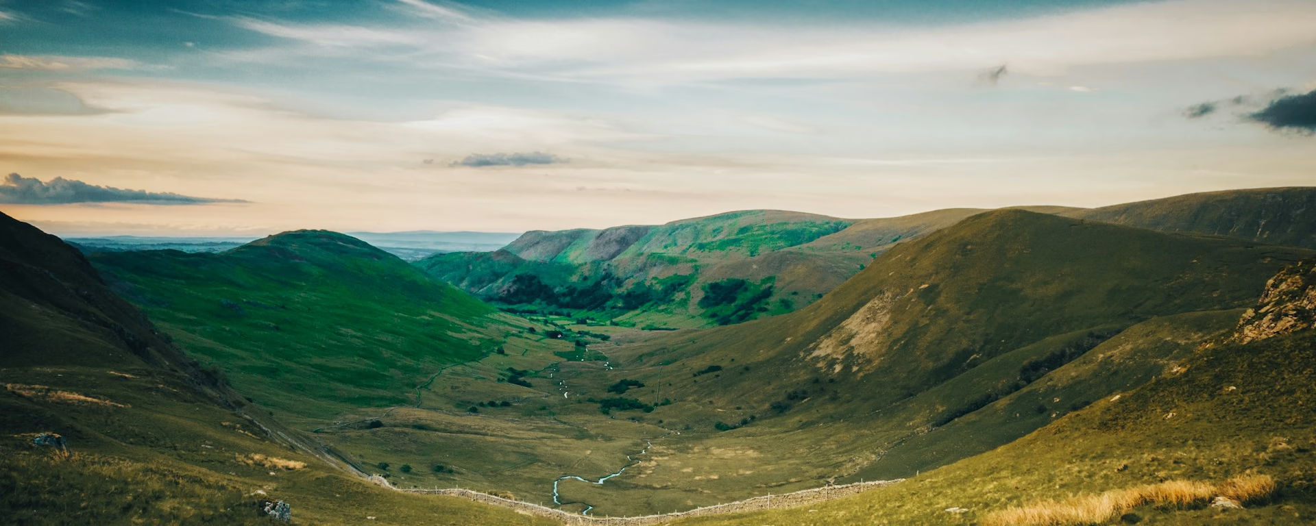
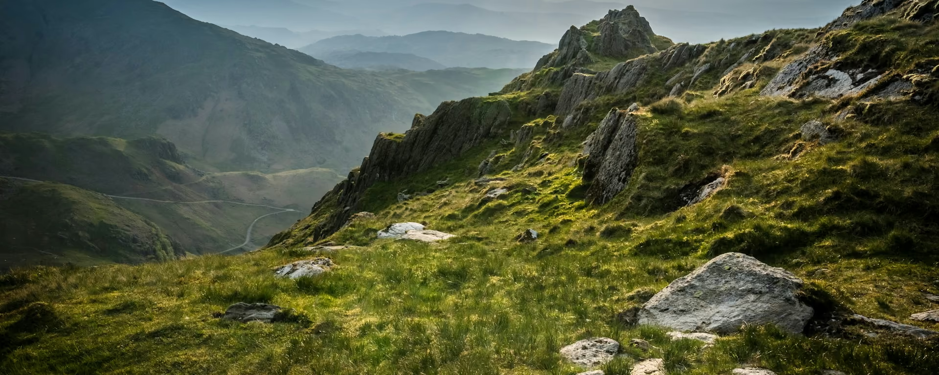
Remote and high, this is where the Cumbria Way leaves the busy lakes behind. A good track climbs round Latrigg and Lonscale Fell to Skiddaw House, a lone shooting lodge turned hostel. Past an old tungsten mine, Grainsgill Beck is a wet, pathless climb to High Pike, 658 m (2,159 ft), with Scotland in view on a clear day. Open grass leads down to Caldbeck.
-
Start of section
Keswick
-
Halfway
Skiddaw House
Built about 1829 as a keeper's lodge, now a hostel with no road. Its windbreak holds the only trees in Skiddaw Forest.
-
Grainsgill
Carrock Mine
The only source of tungsten in Britain outside Devon and Cornwall, worked on and off until 1981. An information board marks the site.
-
The top
High Pike
At 658 m (2,159 ft), the highest point of the Cumbria Way. On a clear day you look north to the Solway Firth and Scotland.
-
End of section
Caldbeck
Overview
The ground
- Open fell
- Pathless beck
- Summit
A long climb into empty fells, a pathless beck and an open summit. The highest and most remote section, with the one pathless climb. Only the Mosedale road offers a way out.
Stops
Refreshments
- Keswick
- Skiddaw House (small cash-only shop)
- Caldbeck
Toilets
- Keswick
- Caldbeck
Before you go
Opposite direction
Caldbeck to Keswick
Walked from Caldbeck, High Pike is a long, open climb, and Grainsgill Beck is steep and wet on the way down. Skiddaw House sits halfway, and the track round Lonscale Fell runs easily down to Keswick.
End of section
Keswick
Keswick to Caldbeck FAQ
Where can I eat between Keswick and Caldbeck?
Nowhere on the path except Skiddaw House, about 5 miles in, whose small shop takes cash only and opens with the hostel's season. Carry lunch and water from Keswick.
Is there a low-level route in bad weather?
Yes. A lower path runs round the west side of Skiddaw by Bassenthwaite to Caldbeck. It is not our line, so the planner does not follow it, but it avoids High Pike and Grainsgill.
Can I download a GPX for Keswick to Caldbeck?
Yes. Use the GPX button at the top of this page. It is this section's line, for Garmin, Komoot, or your phone. Open the planner if you want a file built around your overnight stops.
Walk this as a day
Used as Day 5 on the 6-day. Open the planner on that preset, then export a full-trip or per-day GPX.
Open in planner Read the 6-day itinerary
Full-trip and per-day GPX files. Free, no account.
Explore