- Direction Eastbourne to Winchester , Swap direction
- Distance 100.7 mi 162 km
- Duration 5–10 days
- Ascent 3,560 m 11,700 ft
- Descent 3,580 m 11,750 ft
- Difficulty Moderate
What is the South Downs Way in reverse?
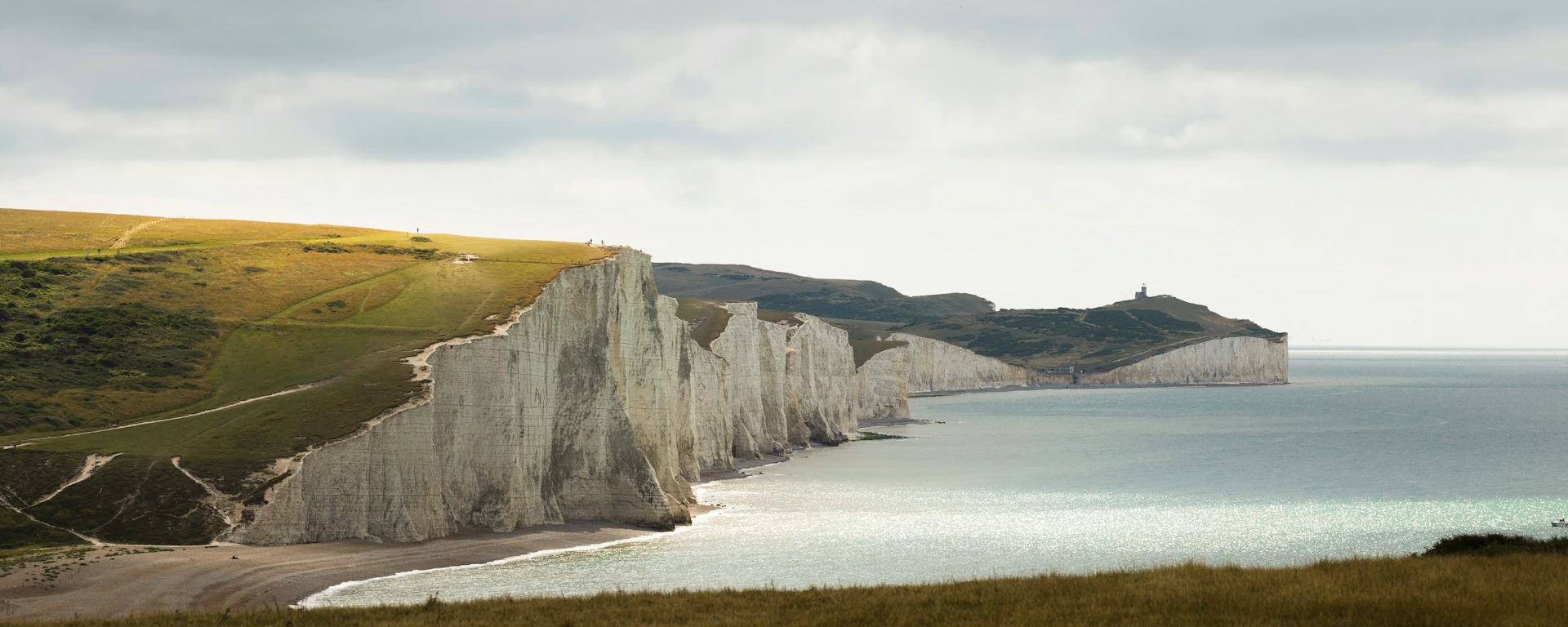
From the white cliffs at Beachy Head to the cathedral city of Winchester. Walked east to west, the South Downs Way runs 100 miles (160 km) along the chalk, and its first climb goes straight up the grass from Eastbourne onto Britain's highest chalk cliff.
The sea comes first: the Seven Sisters roll west from Birling Gap on the first morning, each a steep climb and drop. Then the downs turn inland, treeless over Firle Beacon and busy above Brighton, before the shade of Charlton Forest. Butser Hill, the high point, comes in the last days, above quiet Hampshire farmland.
South of the end, the Hospital of St Cross still gives any visitor who asks the Wayfarer's Dole, "a horn of beer and a morsel of bread", the traditional end of a walk east to west. Allow 8 or 9 days, as for the default way, with the beds down in the villages below the ridge.
Which way should I walk?
For most walkers, west to east is the better way, with the wind at your back and the white cliffs as the finale. Walking out of Eastbourne, the prevailing south-westerly is ahead and to your left every day, and the weather comes at you over the open downs.
Starting in Eastbourne, you meet the Seven Sisters on fresh legs and finish in Winchester, a short walk from its station. The official guidebook runs east to west, and bags and trains work as well as the default way. You give up the cliffs as the reward, and the last miles are quiet farmland. And you meet the eastbound walkers and riders head-on.
Who it suits: walkers who want the cliffs while fresh, above all on the five-day plan. It also suits anyone who would rather end in a cathedral city than on a seafront, and walkers heading home to the west. Think twice if the cliffs at the end are why you go, or if a week of headwind on an open ridge would wear on you.
South Downs Way route map
How hard is it in reverse?
We rate it moderate either way: a waymarked chalk ridge, signed in both directions, with almost the same total climb. The high point is Butser Hill, 270 m (886 ft). On the eight-day plan you climb it straight up its steep side from the A3, on the second-last day.
The steep chalk comes first: on every plan but the five-day, the Seven Sisters make a short first day, but each cliff is a steep rise and drop. On the eight-day plan the long day is the third, Lewes to Steyning over Ditchling Beacon and Devil's Dyke, before your legs have hardened. The nine-day splits it at Pyecombe.
The slopes turn round: Beacon Hill and Butser become climbs. Amberley Mount and the drop off Truleigh Hill to the Adur become descents late in the day, very slippery after rain. On a first long walk, or if you want the cliffs as the reward, start in Winchester instead.
Itineraries and official sections
Pick a day count and the 5–10 day splits show where you would sleep each night, or read the route as the official town-to-town sections.
When is the best time to walk it?
- January, good
- February, good
- March, good
- April, good
- May, best
- June, best
- July, fair
- August, fair
- September, best
- October, good
- November, good
- December, good
Best months: May, June, and September
For a first walk, May, June and September suit either direction, and April and October work with shorter days. In any month the wind is more often ahead than behind, so pack a windproof whatever the season.
Summer weekends are the busiest, and Birling Gap and the Seven Sisters draw the most day visitors. A Saturday start puts them on your first day. One weekend in June a 100-mile race runs the trail west to east, so you meet the runners head-on all day. Check its date before you book.
In spring and autumn, the low afternoon sun is ahead on the last miles of each day, just as you come down off the ridge to the night's bed, so pack sunglasses. At midday the sun stays on your left, never in your face.
Rain days each month:
- January, 13 rain days
- February, 11 rain days
- March, 10 rain days
- April, 10 rain days
- May, 9 rain days
- June, 9 rain days
- July, 9 rain days
- August, 10 rain days
- September, 9 rain days
- October, 12 rain days
- November, 13 rain days
- December, 13 rain days
Driest: May, June, July, and September — still 9 rain days.
Southern England averages, 1991 to 2020. The South Downs sit in this district. This is the record, not a forecast.
How do I get there and back?
Start at the trailhead at Meads (on Google Maps, opens in a new tab), at the foot of Beachy Head, a half-hour walk or a short bus ride from Eastbourne station (on Google Maps, opens in a new tab). Trains reach Eastbourne from Gatwick Airport in about an hour, so you can walk the first day off a morning train. Only the five-day plan needs a night in Eastbourne first.
Finish at the trailhead in Winchester (on Google Maps, opens in a new tab), in the city centre, a short walk from Winchester station (on Google Maps, opens in a new tab). Southampton Airport Parkway (on Google Maps, opens in a new tab) is about 10 minutes away by train. If you drive, leave the car in Eastbourne and take the train back from Winchester; the local authority can advise on a week's parking.
Frequently asked questions
The walk
How long does the South Downs Way take east to west?
As long as the default way: most people take 8 or 9 days, and our plans run from 5 to 10 walking days. Every plan starts at Meads in Eastbourne with the same nights in reverse and ends in Winchester. Travel and rest days are extra.
Can I start walking the day I arrive in Eastbourne?
Yes, on every plan but the five-day. The first day to Alfriston is about 11 miles (18 km), so a morning train is enough. On the five-day the first day runs about 25 miles (40 km) to Housedean, so sleep in Eastbourne the night before and start early.
Is there a guidebook written east to west?
Yes. The official guidebook runs from Eastbourne to Winchester, and other guides describe the route both ways or give walking times in both directions. Signposts show both ways too.
Getting set
Do I need to book accommodation in advance?
Yes. Every plan stops at Cocking, which has few beds, so book it first: starting in Eastbourne it is your third to sixth night. Buriton has few places to eat, so check dinner when you book. Lewes is about 3 miles (5 km) off the path, and the walk back up starts the next day.
Can I get my bag moved walking east to west?
Yes. Bags are booked stay by stay along the whole trail, in season, so ask whether your dates are inside it. Say your direction when you book, and book the beds before the bag.
This site & app
Can I download a GPX of the walk east to west?
Yes. The GPX button at the top of this page gives the whole trail from Eastbourne to Winchester, on the walkers' line over the Seven Sisters. Open a plan to export the whole trip, or one file per day, in walking order.
Trail Britain is an independent planner. For notices and route changes, use the trail's own site: South Downs Way on National Trails (opens in a new tab).
Plan your South Downs Way
Choose your dates and pace, starting in Eastbourne, adjust overnight stops on the map, then export GPX files built around your route.
Explore